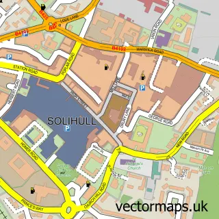
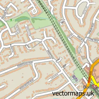
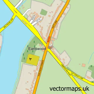
This Monkspath street map is a detailed vector street map covering a 750m x 750m area. Select a larger area to create and download your own vector street map of Monkspath.
The 750-metre map sample for Monkspath covers 537 mapped buildings and approximately 42.0 km of road detail, of which 52 named roads are named. The immediate area includes 1 GP surgery within 2 miles, 1 pub and 12 MOT stations within 2 miles. The wider area around Monkspath features 1 food and drink venue. To create a larger or custom map of Monkspath, the map builder lets you define your own coverage area and download editable SVG, PDF and PNG files.
Create a larger editable map of Monkspath
Choose any area you need and generate a high-quality vector map instantly. Perfect for print, planning, design, business and personal use.

This Monkspath street map in West Midlands is available as downloadable SVG, PDF and PNG map files, or as a printed map for planning, business, display, education, local information and design work. You can also create a larger custom map area using the map selector.
What this Monkspath map sample shows
Monkspath lies within Solihull District (B) parish, part of Blythe ward in the Solihull District (B) local authority area. The postcode geography for this area includes the B postcode area, the B90 postcode district and the B90 4 postcode sector. Residents fall under the Nhs Birmingham And Solihull Integrated Care Board for NHS services.
Local features near Monkspath
Within 2 milesAmenities and services in and around Monkspath.
Administrative and postcode information for Monkspath
The local authority covering Monkspath is Solihull District (B), within the county of West Midlands. The settlement lies within Blythe ward and Solihull District (B) civil parish. The B90 postcode district and B90 4 postcode sector serve the immediate area. NHS provision in the area is delivered through University Hospitals Birmingham Nhs Foundation Trust.
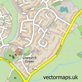
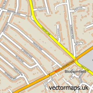
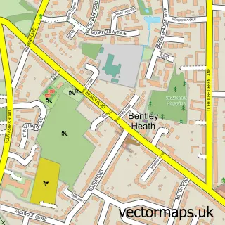
Nearby street map samples around Monkspath

More street maps in West Midlands
750 metre map area coverage
Boundary, postcode and point of interest information for the 750m x 750m rectangle centred on this sample map.
Boundaries containing map centre
Constituency: Solihull West and Shirley Boro Const
District: Solihull District (B)
Icb: NHS Birmingham and Solihull ICB
Police Force: west midlands
Postcode District: B90
Postcode Sector: B90 4
Ward: Blythe Ward
Nearby boundaries intersecting sample
Parish: Cheswick Green CP
Ward: Shirley South Ward
Postcode coverage
POI category counts
Auto Electrical Repair: 2
Business Consulting: 2
Financial Service: 2
Furniture Store: 2
It Service And Computer Repair: 2
Assisted Living Facility: 1
Building Supply Store: 1
Car Dealer: 1
Chemical Plant: 1
Day Care Preschool: 1
Sample points of interest
- Barchester - Fountains Care Home
- Alarm & Vision Ltd.
- ROADCHILL
- Edwards Carpentry & Property Services
- Crucial Management Services
- Equali-seva
- Vehicle Ancestry
- Askey Gas Engineering
- Hampton Nursery Dorridge
- p.e.s. dog training
- Walkz4pawz
- CTV and Video Services
Create a larger editable map of Monkspath
This sample shows only a 750 metre area. To create a larger map of Monkspath, use our map builder to choose your own coverage area, add titles and download editable SVG, PDF and PNG files.
Create a custom map of Monkspath