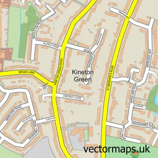
This Elmdon Heath street map is a detailed vector street map covering a 750m x 750m area. Select a larger area to create and download your own vector street map of Elmdon Heath.
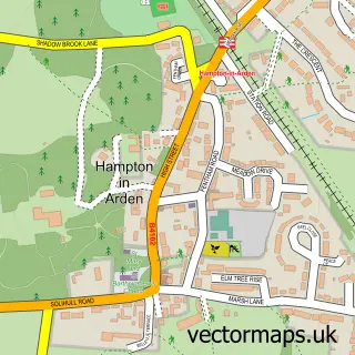
The 750-metre map sample for Elmdon Heath covers 291 mapped buildings and approximately 25.2 km of road detail, of which 23 named roads are named. The immediate area includes 1 school, 3 GP surgeries within 2 miles, 1 pub and 4 MOT stations within 2 miles. The wider area around Elmdon Heath features 1 tourism point of interest and 2 food and drink venues. To create a larger or custom map of Elmdon Heath, the map builder lets you define your own coverage area and download editable SVG, PDF and PNG files.
Create a larger editable map of Elmdon Heath
Choose any area you need and generate a high-quality vector map instantly. Perfect for print, planning, design, business and personal use.

This Elmdon Heath street map in West Midlands is available as downloadable SVG, PDF and PNG map files, or as a printed map for planning, business, display, education, local information and design work. You can also create a larger custom map area using the map selector.
What this Elmdon Heath map sample shows
Elmdon Heath lies within Solihull District (B) parish, part of Silhill ward in the Solihull District (B) local authority area. The postcode geography for this area includes the B postcode area, the B91 postcode district and the B91 2 postcode sector. Residents fall under the Nhs Birmingham And Solihull Integrated Care Board for NHS services.
Local features near Elmdon Heath
Within 2 milesAmenities and services in and around Elmdon Heath.
Administrative and postcode information for Elmdon Heath
The local authority covering Elmdon Heath is Solihull District (B), within the county of West Midlands. The settlement lies within Silhill ward and Solihull District (B) civil parish. The B91 postcode district and B91 2 postcode sector serve the immediate area. NHS provision in the area is delivered through University Hospitals Birmingham Nhs Foundation Trust.
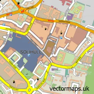
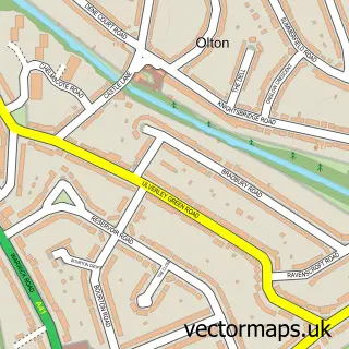
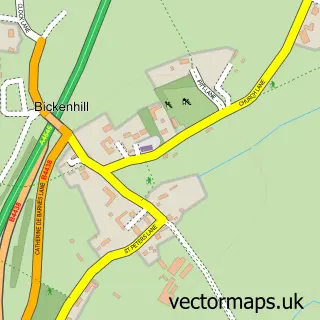
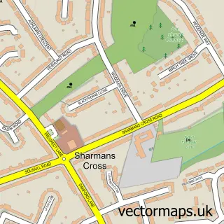
Nearby street map samples around Elmdon Heath

More street maps in West Midlands
750 metre map area coverage
Boundary, postcode and point of interest information for the 750m x 750m rectangle centred on this sample map.
Boundaries containing map centre
Constituency: Meriden and Solihull East Co Const
District: Solihull District (B)
Icb: NHS Birmingham and Solihull ICB
Police Force: west midlands
Postcode District: B92
Postcode Sector: B92 0
Ward: Elmdon Ward
Nearby boundaries intersecting sample
Parish: Hampton in Arden CP
Postcode District: B91
Postcode Sector: B91 2, B92 9
Ward: Bickenhill Ward, Silhill Ward
Postcode coverage
POI category counts
Building Supply Store: 4
Chinese Restaurant: 2
Convenience Store: 2
Elementary School: 2
Package Locker: 2
Pet Services: 2
Post Office: 2
Veterinarian: 2
Accountant: 1
Bakery: 1
Sample points of interest
- Mc-ca
- Bailey Bake House
- Serene Beauty
- Woodlands bed And breakfast
- Rick's Book Basement
- Hobday Solutions
- M.E.S. Electrical & Solar Ltd
- Trace Contracts
- Youngs Oven Shine
- IFA Admin Solutions
- The Kitchen Damson Lane Solihull
- Shepherdson Court
Create a larger editable map of Elmdon Heath
This sample shows only a 750 metre area. To create a larger map of Elmdon Heath, use our map builder to choose your own coverage area, add titles and download editable SVG, PDF and PNG files.
Create a custom map of Elmdon Heath