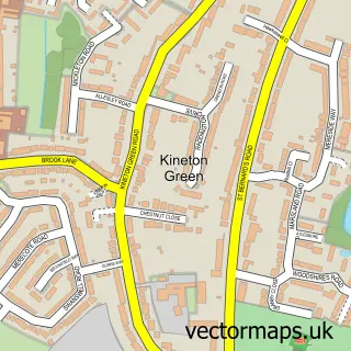
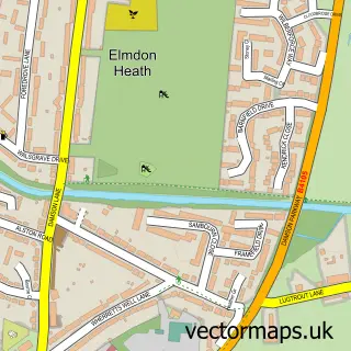
This Ulverley Green street map is a detailed vector street map covering a 750m x 750m area. Select a larger area to create and download your own vector street map of Ulverley Green.
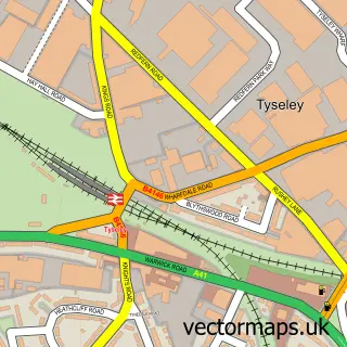
The 750-metre map sample for Ulverley Green covers 278 mapped buildings and approximately 32.4 km of road detail, of which 21 named roads are named. The immediate area includes 14 GP surgeries within 2 miles and 15 MOT stations within 2 miles. To create a larger or custom map of Ulverley Green, the map builder lets you define your own coverage area and download editable SVG, PDF and PNG files.
Create a larger editable map of Ulverley Green
Choose any area you need and generate a high-quality vector map instantly. Perfect for print, planning, design, business and personal use.

This Ulverley Green street map in West Midlands is available as downloadable SVG, PDF and PNG map files, or as a printed map for planning, business, display, education, local information and design work. You can also create a larger custom map area using the map selector.
What this Ulverley Green map sample shows
Ulverley Green lies within Solihull District (B) parish, part of Olton ward in the Solihull District (B) local authority area. The postcode geography for this area includes the B postcode area, the B92 postcode district and the B92 7 postcode sector. Residents fall under the Nhs Birmingham And Solihull Integrated Care Board for NHS services.
Local features near Ulverley Green
Within 2 milesAmenities and services in and around Ulverley Green.
Administrative and postcode information for Ulverley Green
Ulverley Green lies within Solihull District (B) parish, part of Olton ward in the Solihull District (B) local authority area. The postcode geography for this area includes the B postcode area, the B92 postcode district and the B92 7 postcode sector. Residents fall under the Nhs Birmingham And Solihull Integrated Care Board for NHS services.
Nearby street map samples around Ulverley Green
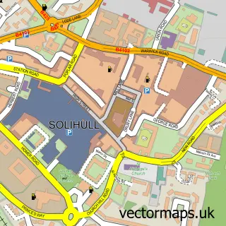

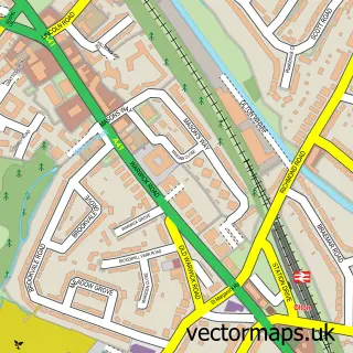
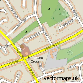
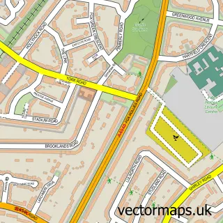
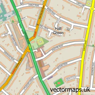
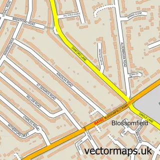
More street maps in West Midlands
750 metre map area coverage
Boundary, postcode and point of interest information for the 750m x 750m rectangle centred on this sample map.
Boundaries containing map centre
Constituency: Solihull West and Shirley Boro Const
District: Solihull District (B)
Icb: NHS Birmingham and Solihull ICB
Police Force: west midlands
Postcode District: B92
Postcode Sector: B92 8
Ward: Olton Ward
Nearby boundaries intersecting sample
Postcode District: B91
Postcode Sector: B91 2, B92 7
Ward: Lyndon Ward
Postcode coverage
POI category counts
Beauty Salon: 4
Building Supply Store: 3
Preschool: 2
Arts And Crafts: 1
Beauty And Spa: 1
Bed And Breakfast: 1
Bridal Shop: 1
Business: 1
Electrician: 1
Fashion Accessories Store: 1
Sample points of interest
- Arte-Shop
- THY Beauty Studio
- Belle Fleur Nail & Beauty
- Cutie-cals
- HarrietXHair
- Sarah Jayne Skin-Face-Body
- Leaded Light Guest House
- Bright Button Photography
- Everest Solihull
- Office Cleaning Birmingham
- Solihull Electrical
- What's on in Bristol
Create a larger editable map of Ulverley Green
This sample shows only a 750 metre area. To create a larger map of Ulverley Green, use our map builder to choose your own coverage area, add titles and download editable SVG, PDF and PNG files.
Create a custom map of Ulverley Green