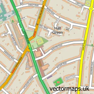
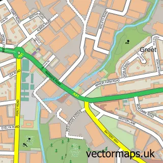
This Fox Hollies street map is a detailed vector street map covering a 750m x 750m area. Select a larger area to create and download your own vector street map of Fox Hollies.
The 750-metre map sample for Fox Hollies covers 345 mapped buildings and approximately 31.1 km of road detail, of which 28 named roads are named. The immediate area includes 1 school, 19 GP surgeries within 2 miles, 1 pub and 1 MOT station, with 33 within 2 miles. The wider area around Fox Hollies features 2 food and drink venues. To create a larger or custom map of Fox Hollies, the map builder lets you define your own coverage area and download editable SVG, PDF and PNG files.
Create a larger editable map of Fox Hollies
Choose any area you need and generate a high-quality vector map instantly. Perfect for print, planning, design, business and personal use.

This Fox Hollies street map in West Midlands is available as downloadable SVG, PDF and PNG map files, or as a printed map for planning, business, display, education, local information and design work. You can also create a larger custom map area using the map selector.
What this Fox Hollies map sample shows
Fox Hollies lies within Birmingham District (B) parish, part of Acocks Green ward in the Birmingham District (B) local authority area. The postcode geography for this area includes the B postcode area, the B27 postcode district and the B27 7 postcode sector. Residents fall under the Nhs Birmingham And Solihull Integrated Care Board for NHS services.
Local features near Fox Hollies
Within 2 milesAmenities and services in and around Fox Hollies.
Administrative and postcode information for Fox Hollies
The local authority covering Fox Hollies is Birmingham District (B), within the county of West Midlands. The settlement lies within Acocks Green ward and Birmingham District (B) civil parish. The B27 postcode district and B27 7 postcode sector serve the immediate area. NHS provision in the area is delivered through University Hospitals Birmingham Nhs Foundation Trust.
Nearby street map samples around Fox Hollies


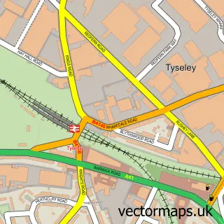
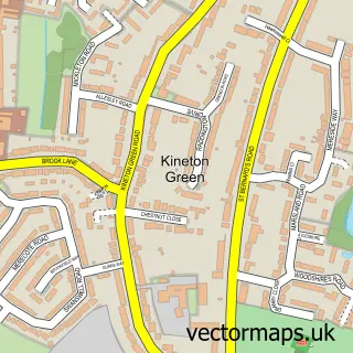
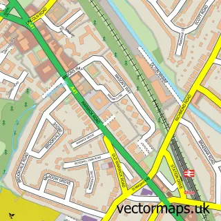
More street maps in West Midlands
750 metre map area coverage
Boundary, postcode and point of interest information for the 750m x 750m rectangle centred on this sample map.
Boundaries containing map centre
Constituency: Birmingham Hall Green and Moseley Boro Const
District: Birmingham District (B)
Icb: NHS Birmingham and Solihull ICB
Police Force: west midlands
Postcode District: B28
Postcode Sector: B28 8
Ward: Acocks Green Ward, Hall Green North Ward
Nearby boundaries intersecting sample
Constituency: Birmingham Yardley Boro Const
Postcode District: B27
Postcode Sector: B27 7
Ward: Tyseley & Hay Mills Ward
Postcode coverage
POI category counts
Building Supply Store: 3
Automotive Repair: 2
Beauty Salon: 2
Contractor: 2
High School: 2
Package Locker: 2
Property Management: 2
Self Storage Facility: 2
Stadium Arena: 2
Active Life: 1
Sample points of interest
- The Dogs Hall Green
- Brightest Stars
- PayPoint
- Frank Stone's Garage
- Stones Garage Ltd
- Barclays Local
- Barbershop
- Halo Lash Artistry
- The Lodge Hotel
- Jewson
- Muernet
- Samps Home and Carpet Cleaning Services
Create a larger editable map of Fox Hollies
This sample shows only a 750 metre area. To create a larger map of Fox Hollies, use our map builder to choose your own coverage area, add titles and download editable SVG, PDF and PNG files.
Create a custom map of Fox Hollies