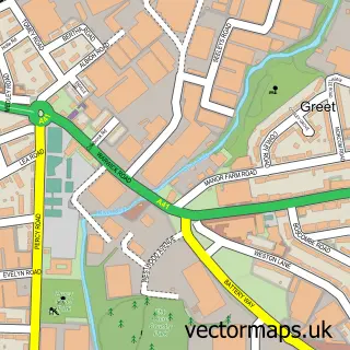
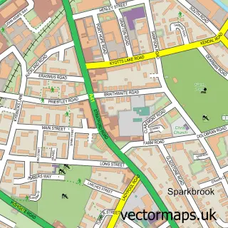
This Wake Green street map is a detailed vector street map covering a 750m x 750m area. Select a larger area to create and download your own vector street map of Wake Green.
The 750-metre map sample for Wake Green covers 261 mapped buildings and approximately 28.2 km of road detail, of which 24 named roads are named. The immediate area includes 30 GP surgeries within 2 miles and 57 MOT stations within 2 miles. The wider area around Wake Green features 2 tourism points of interest. To create a larger or custom map of Wake Green, the map builder lets you define your own coverage area and download editable SVG, PDF and PNG files.
Create a larger editable map of Wake Green
Choose any area you need and generate a high-quality vector map instantly. Perfect for print, planning, design, business and personal use.

This Wake Green street map in West Midlands is available as downloadable SVG, PDF and PNG map files, or as a printed map for planning, business, display, education, local information and design work. You can also create a larger custom map area using the map selector.
What this Wake Green map sample shows
Wake Green lies within Birmingham District (B) parish, part of Billesley ward in the Birmingham District (B) local authority area. The postcode geography for this area includes the B postcode area, the B13 postcode district and the B13 0 postcode sector. Residents fall under the Nhs Birmingham And Solihull Integrated Care Board for NHS services.
Local features near Wake Green
Within 2 milesAmenities and services in and around Wake Green.
Administrative and postcode information for Wake Green
Wake Green lies within Birmingham District (B) parish, part of Billesley ward in the Birmingham District (B) local authority area. The postcode geography for this area includes the B postcode area, the B13 postcode district and the B13 0 postcode sector. Residents fall under the Nhs Birmingham And Solihull Integrated Care Board for NHS services.
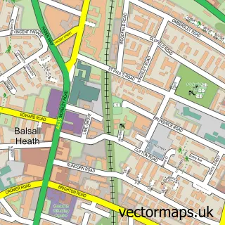
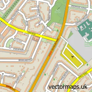
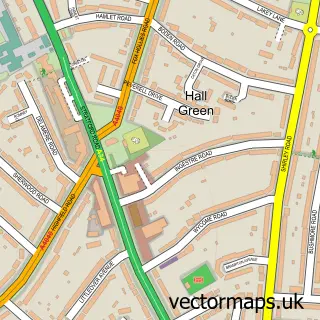
Nearby street map samples around Wake Green


More street maps in West Midlands
750 metre map area coverage
Boundary, postcode and point of interest information for the 750m x 750m rectangle centred on this sample map.
Boundaries containing map centre
Constituency: Birmingham Hall Green and Moseley Boro Const
District: Birmingham District (B)
Icb: NHS Birmingham and Solihull ICB
Police Force: west midlands
Postcode District: B13
Postcode Sector: B13 9
Ward: Moseley Ward
Nearby boundaries intersecting sample
Postcode District: B11
Postcode Sector: B11 4
Ward: Sparkhill Ward
Postcode coverage
POI category counts
Home Health Care: 3
Anglican Church: 2
Assisted Living Facility: 2
Sports Club And League: 2
Adult Education: 1
Attractions And Activities: 1
Baby Gear And Furniture: 1
Business Advertising: 1
Business Management Services: 1
Charity Organization: 1
Sample points of interest
- Pickwick Athletic Club
- St Agnes's Church
- St Agnes, Moseley
- Evergreen
- Magna Care Group
- Windermere Fields
- Multimac
- Varta UK
- Catherine House Day Nursery
- Barnardo's
- Razorsharp
- Supplements4U
Create a larger editable map of Wake Green
This sample shows only a 750 metre area. To create a larger map of Wake Green, use our map builder to choose your own coverage area, add titles and download editable SVG, PDF and PNG files.
Create a custom map of Wake Green