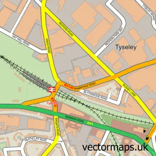
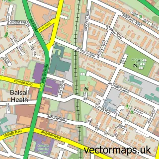
This Greet street map is a detailed vector street map covering a 750m x 750m area. Select a larger area to create and download your own vector street map of Greet.
The 750-metre map sample for Greet covers 235 mapped buildings and approximately 31.3 km of road detail, of which 28 named roads are named. The immediate area includes 2 schools, 1 GP surgery, with 35 within 2 miles and 2 MOT stations, with 86 within 2 miles. The wider area around Greet features 2 tourism points of interest and 8 food and drink venues. To create a larger or custom map of Greet, the map builder lets you define your own coverage area and download editable SVG, PDF and PNG files.
Create a larger editable map of Greet
Choose any area you need and generate a high-quality vector map instantly. Perfect for print, planning, design, business and personal use.

This Greet street map in West Midlands is available as downloadable SVG, PDF and PNG map files, or as a printed map for planning, business, display, education, local information and design work. You can also create a larger custom map area using the map selector.
What this Greet map sample shows
Greet lies within Birmingham District (B) parish, part of Acocks Green ward in the Birmingham District (B) local authority area. The postcode geography for this area includes the B postcode area, the B27 postcode district and the B27 7 postcode sector. Residents fall under the Nhs Birmingham And Solihull Integrated Care Board for NHS services.
Local features near Greet
Within 2 milesAmenities and services in and around Greet.
Administrative and postcode information for Greet
The local authority covering Greet is Birmingham District (B), within the county of West Midlands. The settlement lies within Acocks Green ward and Birmingham District (B) civil parish. The B27 postcode district and B27 7 postcode sector serve the immediate area. NHS provision in the area is delivered through University Hospitals Birmingham Nhs Foundation Trust.
Nearby street map samples around Greet


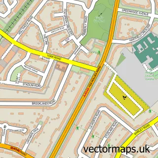
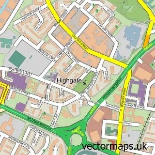
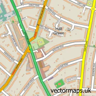
More street maps in West Midlands
750 metre map area coverage
Boundary, postcode and point of interest information for the 750m x 750m rectangle centred on this sample map.
Boundaries containing map centre
Constituency: Birmingham Hall Green and Moseley Boro Const
District: Birmingham District (B)
Icb: NHS Birmingham and Solihull ICB
Police Force: west midlands
Postcode District: B11
Postcode Sector: B11 2
Ward: Sparkbrook & Balsall Heath East Ward
Nearby boundaries intersecting sample
Postcode Sector: B11 3
Ward: Hall Green North Ward, Sparkhill Ward
Postcode coverage
POI category counts
Professional Services: 9
Furniture Store: 8
Automotive Repair: 7
Retail: 6
Building Supply Store: 4
Appliance Manufacturer: 3
Cafe: 3
Car Dealer: 3
Fast Food Restaurant: 3
Gas Station: 3
Sample points of interest
- Midland Pump Manufacturing Co
- Osborne Fasteners
- Paintain Tools
- The Pewter Sheet Company
- Accident Express (Birmingham)
- Driftworks
- Dyno Torque
- Creations Motorsport
- Sinemaster Motor Factors
- Discount Body Panels
- Master Auto Glass
- P&V Motors
Create a larger editable map of Greet
This sample shows only a 750 metre area. To create a larger map of Greet, use our map builder to choose your own coverage area, add titles and download editable SVG, PDF and PNG files.
Create a custom map of Greet