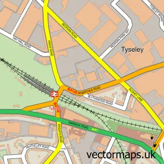
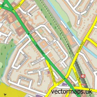
This Hay Mills street map is a detailed vector street map covering a 750m x 750m area. Select a larger area to create and download your own vector street map of Hay Mills.
The 750-metre map sample for Hay Mills covers 174 mapped buildings and approximately 28.2 km of road detail, of which 22 named roads are named. The immediate area includes 1 school, 33 GP surgeries within 2 miles and 2 MOT stations, with 74 within 2 miles. The wider area around Hay Mills features 3 food and drink venues. To create a larger or custom map of Hay Mills, the map builder lets you define your own coverage area and download editable SVG, PDF and PNG files.
Create a larger editable map of Hay Mills
Choose any area you need and generate a high-quality vector map instantly. Perfect for print, planning, design, business and personal use.

This Hay Mills street map in West Midlands is available as downloadable SVG, PDF and PNG map files, or as a printed map for planning, business, display, education, local information and design work. You can also create a larger custom map area using the map selector.
What this Hay Mills map sample shows
Hay Mills lies within Birmingham District (B) parish, part of Acocks Green ward in the Birmingham District (B) local authority area. The postcode geography for this area includes the B postcode area, the B27 postcode district and the B27 7 postcode sector. Residents fall under the Nhs Birmingham And Solihull Integrated Care Board for NHS services.
Local features near Hay Mills
Within 2 milesAmenities and services in and around Hay Mills.
Administrative and postcode information for Hay Mills
The local authority covering Hay Mills is Birmingham District (B), within the county of West Midlands. The settlement lies within Acocks Green ward and Birmingham District (B) civil parish. The B27 postcode district and B27 7 postcode sector serve the immediate area. NHS provision in the area is delivered through University Hospitals Birmingham Nhs Foundation Trust.
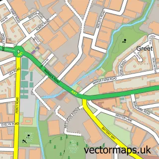
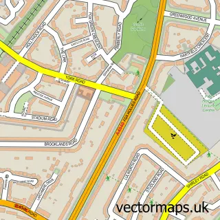
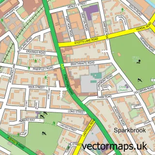
Nearby street map samples around Hay Mills


More street maps in West Midlands
750 metre map area coverage
Boundary, postcode and point of interest information for the 750m x 750m rectangle centred on this sample map.
Boundaries containing map centre
Constituency: Birmingham Yardley Boro Const
District: Birmingham District (B)
Icb: NHS Birmingham and Solihull ICB
Police Force: west midlands
Postcode District: B11
Postcode Sector: B11 2
Ward: Tyseley & Hay Mills Ward
Nearby boundaries intersecting sample
Postcode District: B10, B25
Postcode Sector: B10 0, B25 8
Ward: Small Heath Ward
Postcode coverage
POI category counts
Professional Services: 13
Building Supply Store: 10
Furniture Store: 8
Contractor: 7
Automotive Repair: 6
Retail: 6
Business Manufacturing And Supply: 5
Fast Food Restaurant: 5
Garbage Collection Service: 5
Wholesale Store: 5
Sample points of interest
- A-Team Academy
- ASP Promotions
- St Cyprian's, Hay Mill
- Martex Paints
- Domestic Appliance Repair Centre
- Quality Appliances LTD
- Sabel Bennett And Fountain
- Sunbelt Rentals Tools
- Bodywork Garage
- Speedwells
- Supreme Accident Repair Centre
- Precision Detail Limited
Create a larger editable map of Hay Mills
This sample shows only a 750 metre area. To create a larger map of Hay Mills, use our map builder to choose your own coverage area, add titles and download editable SVG, PDF and PNG files.
Create a custom map of Hay Mills