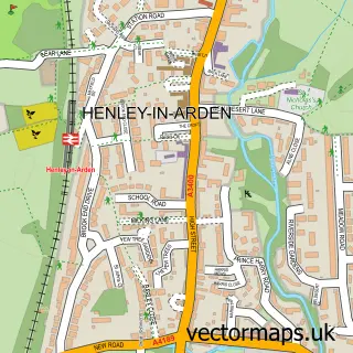
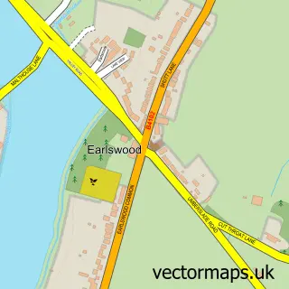
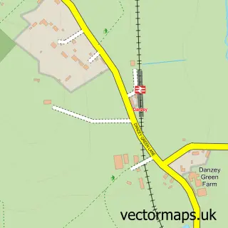
This Hockley Heath street map is a detailed vector street map covering a 750m x 750m area. Select a larger area to create and download your own vector street map of Hockley Heath.
The 750-metre map sample for Hockley Heath covers 391 mapped buildings and approximately 29.9 km of road detail, of which 23 named roads are named. The immediate area includes 1 school, 1 GP surgery within 2 miles, 1 pub and 2 MOT stations within 2 miles. The wider area around Hockley Heath features 1 food and drink venue and 1 campsite within 2 miles. To create a larger or custom map of Hockley Heath, the map builder lets you define your own coverage area and download editable SVG, PDF and PNG files.
Create a larger editable map of Hockley Heath
Choose any area you need and generate a high-quality vector map instantly. Perfect for print, planning, design, business and personal use.

This Hockley Heath street map in West Midlands is available as downloadable SVG, PDF and PNG map files, or as a printed map for planning, business, display, education, local information and design work. You can also create a larger custom map area using the map selector.
What this Hockley Heath map sample shows
Hockley Heath lies within Hockley Heath Cp parish, part of Dorridge And Hockley Heath ward in the Solihull District (B) local authority area. The postcode geography for this area includes the B postcode area, the B94 postcode district and the B94 6 postcode sector. Residents fall under the Nhs Birmingham And Solihull Integrated Care Board for NHS services.
Local features near Hockley Heath
Within 2 milesAmenities and services in and around Hockley Heath.
Administrative and postcode information for Hockley Heath
Hockley Heath lies within Hockley Heath Cp parish, part of Dorridge And Hockley Heath ward in the Solihull District (B) local authority area. The postcode geography for this area includes the B postcode area, the B94 postcode district and the B94 6 postcode sector. Residents fall under the Nhs Birmingham And Solihull Integrated Care Board for NHS services.
Nearby street map samples around Hockley Heath

More street maps in West Midlands
750 metre map area coverage
Boundary, postcode and point of interest information for the 750m x 750m rectangle centred on this sample map.
Boundaries containing map centre
Constituency: Meriden and Solihull East Co Const
District: Solihull District (B)
Icb: NHS Birmingham and Solihull ICB
Parish: Hockley Heath CP
Police Force: west midlands
Postcode District: B94
Postcode Sector: B94 6
Ward: Dorridge and Hockley Heath Ward
Nearby boundaries intersecting sample
Constituency: Kenilworth and Southam Co Const, Stratford-on-Avon Co Const
County: Warwickshire County
District: Stratford-on-Avon District, Warwick District
Icb: NHS Coventry and Warwickshire ICB
Parish: Lapworth CP, Tanworth-in-Arden CP
Police Force: warwickshire
Postcode Sector: B94 5
Ward: Kenilworth Abbey & Arden Ward, Tanworth-in-Arden Ward
Postcode coverage
POI category counts
Car Dealer: 5
Indian Restaurant: 3
Beauty Salon: 2
Building Supply Store: 2
Community Center: 2
Convenience Store: 2
Currency Exchange: 2
Dentist: 2
Elementary School: 2
Antique Store: 1
Sample points of interest
- Box Trees Farm B & B
- Marsin Bakers
- Athuruga
- Giraffe Hairdressing
- Rose Cottage Bed & Breakfast
- Dynamic Rides
- Tessa Francis Bridal Studio
- Jacques Designer Bathrooms Ltd
- Omni Interior Design
- Mills Butchers
- Lotus Birmingham
- McLaren Birmingham
Create a larger editable map of Hockley Heath
This sample shows only a 750 metre area. To create a larger map of Hockley Heath, use our map builder to choose your own coverage area, add titles and download editable SVG, PDF and PNG files.
Create a custom map of Hockley Heath