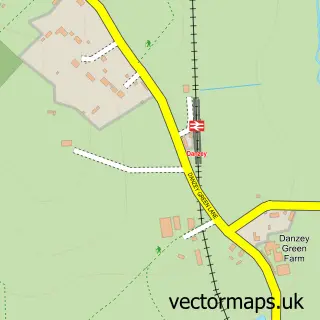
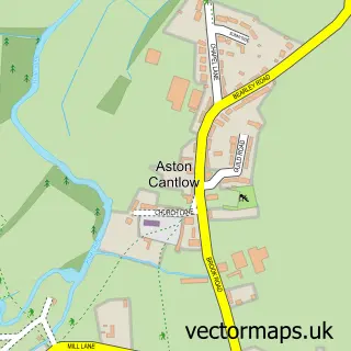
This Henley-in-Arden street map is a detailed vector street map covering a 750m x 750m area. Select a larger area to create and download your own vector street map of Henley-in-Arden.
The 750-metre map sample for Henley-in-Arden covers 326 mapped buildings and approximately 25.9 km of road detail, of which 36 named roads are named. The immediate area includes 1 railway station, 1 GP surgery, 5 pubs and 1 MOT station, with 3 within 2 miles. The wider area around Henley-in-Arden features 4 tourism points of interest, 14 food and drink venues and 2 hotels. To create a larger or custom map of Henley-in-Arden, the map builder lets you define your own coverage area and download editable SVG, PDF and PNG files.
Create a larger editable map of Henley-in-Arden
Choose any area you need and generate a high-quality vector map instantly. Perfect for print, planning, design, business and personal use.

This Henley-in-Arden street map in Warwickshire is available as downloadable SVG, PDF and PNG map files, or as a printed map for planning, business, display, education, local information and design work. You can also create a larger custom map area using the map selector.
What this Henley-in-Arden map sample shows
Henley-in-Arden lies within Henley-In-Arden Cp parish, part of Henley-In-Arden ward in the Stratford-On-Avon District local authority area. The postcode geography for this area includes the B postcode area, the B95 postcode district and the B95 6 postcode sector. Residents fall under the Nhs Coventry And Warwickshire Integrated Care Board for NHS services.
Local features near Henley-in-Arden
Within 2 milesAmenities and services in and around Henley-in-Arden.
Administrative and postcode information for Henley-in-Arden
The local authority covering Henley-in-Arden is Stratford-On-Avon District, within the county of Warwickshire. The settlement lies within Henley-In-Arden ward and Henley-In-Arden Cp civil parish. The B95 postcode district and B95 6 postcode sector serve the immediate area. NHS provision in the area is delivered through South Warwickshire University Nhs Foundation Trust.
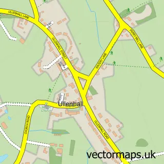
Nearby street map samples around Henley-in-Arden

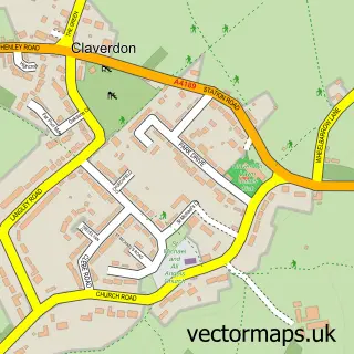
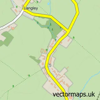
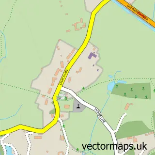
More street maps in Warwickshire
750 metre map area coverage
Boundary, postcode and point of interest information for the 750m x 750m rectangle centred on this sample map.
Boundaries containing map centre
Constituency: Stratford-on-Avon Co Const
County: Warwickshire County
District: Stratford-on-Avon District
Icb: NHS Coventry and Warwickshire ICB
Parish: Henley-in-Arden CP
Police Force: warwickshire
Postcode District: B95
Postcode Sector: B95 5
Ward: Henley-in-Arden Ward
Nearby boundaries intersecting sample
Parish: Beaudesert CP
Postcode Sector: B95 6
Postcode coverage
POI category counts
Hair Salon: 10
Pub: 5
Real Estate Agent: 5
Beauty Salon: 4
Professional Services: 4
Restaurant: 4
Bakery: 3
Coffee Shop: 3
Doctor: 3
General Dentistry: 3
Sample points of interest
- Cullingworth & Co
- Tax Online Ltd
- Eden Acupuncture UK
- Leader Communications
- Beaudesert with Henley-in-Arden - St. Nicholas
- St John The Baptist
- Brian Tovey Gallery
- Parkes Performance
- Motability Scheme at Jacksons Ford Henley
- Ruby Valley
- Helen's Cakery
- Henley Kitchen & Bakery
Create a larger editable map of Henley-in-Arden
This sample shows only a 750 metre area. To create a larger map of Henley-in-Arden, use our map builder to choose your own coverage area, add titles and download editable SVG, PDF and PNG files.
Create a custom map of Henley-in-Arden