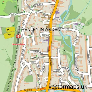
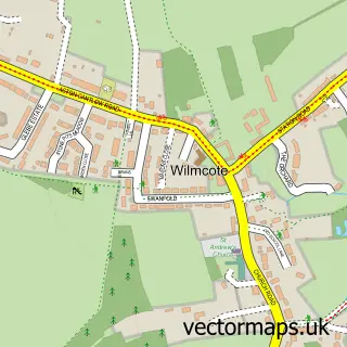
This Wootton Wawen street map is a detailed vector street map covering a 750m x 750m area. Select a larger area to create and download your own vector street map of Wootton Wawen.
The 750-metre map sample for Wootton Wawen covers 95 mapped buildings and approximately 15.0 km of road detail, of which 16 named roads are named. The immediate area includes 1 school, 1 GP surgery within 2 miles, 3 pubs and 3 MOT stations within 2 miles. The wider area around Wootton Wawen features 1 tourism point of interest, 3 food and drink venues and 1 hotel. To create a larger or custom map of Wootton Wawen, the map builder lets you define your own coverage area and download editable SVG, PDF and PNG files.
Create a larger editable map of Wootton Wawen
Choose any area you need and generate a high-quality vector map instantly. Perfect for print, planning, design, business and personal use.

This Wootton Wawen street map in Warwickshire is available as downloadable SVG, PDF and PNG map files, or as a printed map for planning, business, display, education, local information and design work. You can also create a larger custom map area using the map selector.
What this Wootton Wawen map sample shows
Wootton Wawen lies within Wootton Wawen Cp parish, part of Wotton Wawen ward in the Stratford-On-Avon District local authority area. The postcode geography for this area includes the B postcode area, the B95 postcode district and the B95 6 postcode sector. Residents fall under the Nhs Coventry And Warwickshire Integrated Care Board for NHS services.
Local features near Wootton Wawen
Within 2 milesAmenities and services in and around Wootton Wawen.
Administrative and postcode information for Wootton Wawen
Wootton Wawen lies within Wootton Wawen Cp parish, part of Wotton Wawen ward in the Stratford-On-Avon District local authority area. The postcode geography for this area includes the B postcode area, the B95 postcode district and the B95 6 postcode sector. Residents fall under the Nhs Coventry And Warwickshire Integrated Care Board for NHS services.
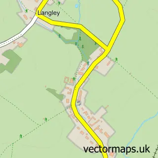
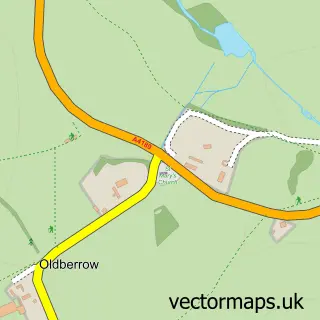
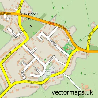
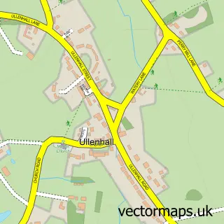
Nearby street map samples around Wootton Wawen

More street maps in Warwickshire
750 metre map area coverage
Boundary, postcode and point of interest information for the 750m x 750m rectangle centred on this sample map.
Boundaries containing map centre
Constituency: Stratford-on-Avon Co Const
County: Warwickshire County
District: Stratford-on-Avon District
Icb: NHS Coventry and Warwickshire ICB
Parish: Wootton Wawen CP
Police Force: warwickshire
Postcode District: B95
Postcode Sector: B95 6
Ward: Wootton Wawen Ward
Nearby boundaries intersecting sample
No additional intersecting boundaries found.
Postcode coverage
POI category counts
Pub: 3
Church Cathedral: 2
Post Office: 2
Anglican Church: 1
Bakery: 1
Bridge: 1
Building Supply Store: 1
Community Services Non Profits: 1
Convenience Store: 1
Education: 1
Sample points of interest
- Wootton Wawen - St. Peter
- Belles Cakery
- Wootton Wawen Aqueduct
- Elliott Home Improvements
- St Peter's Church
- St. Peters Church, Wootton Wawen
- Wootton Hall Country Club
- The General Store
- Living Eggs
- James Elliott Electrical
- Wootton Wawen C of E Primary School
- Osprey Charging Station
Create a larger editable map of Wootton Wawen
This sample shows only a 750 metre area. To create a larger map of Wootton Wawen, use our map builder to choose your own coverage area, add titles and download editable SVG, PDF and PNG files.
Create a custom map of Wootton Wawen