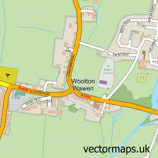
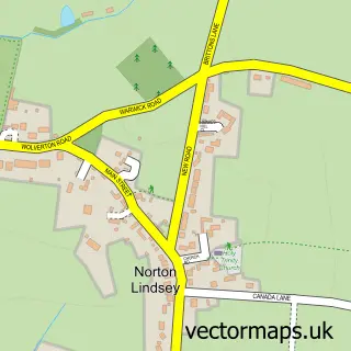
This Bearley street map is a detailed vector street map covering a 750m x 750m area. Select a larger area to create and download your own vector street map of Bearley.
The 750-metre map sample for Bearley covers 209 mapped buildings and approximately 16.2 km of road detail, of which 11 named roads are named. The immediate area includes 1 MOT station within 2 miles. To create a larger or custom map of Bearley, the map builder lets you define your own coverage area and download editable SVG, PDF and PNG files.
Create a larger editable map of Bearley
Choose any area you need and generate a high-quality vector map instantly. Perfect for print, planning, design, business and personal use.

This Bearley street map in Warwickshire is available as downloadable SVG, PDF and PNG map files, or as a printed map for planning, business, display, education, local information and design work. You can also create a larger custom map area using the map selector.
What this Bearley map sample shows
Bearley lies within Bearley Cp parish, part of Wotton Wawen ward in the Stratford-On-Avon District local authority area. The postcode geography for this area includes the CV postcode area, the CV37 postcode district and the CV37 0 postcode sector. Residents fall under the Nhs Coventry And Warwickshire Integrated Care Board for NHS services.
Local features near Bearley
Within 2 milesAmenities and services in and around Bearley.
Administrative and postcode information for Bearley
The local authority covering Bearley is Stratford-On-Avon District, within the county of Warwickshire. The settlement lies within Wotton Wawen ward and Bearley Cp civil parish. The CV37 postcode district and CV37 0 postcode sector serve the immediate area. NHS provision in the area is delivered through South Warwickshire University Nhs Foundation Trust.
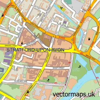
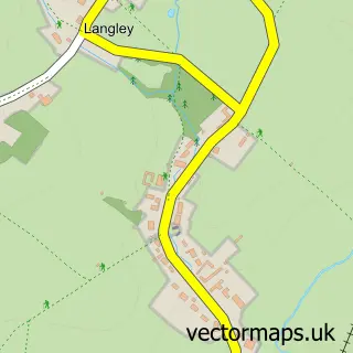
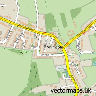
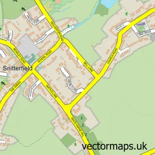
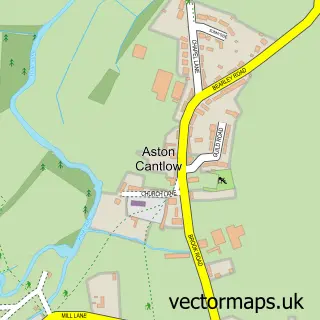
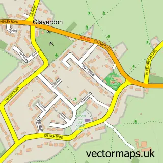
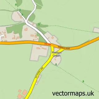
Nearby street map samples around Bearley

More street maps in Warwickshire
750 metre map area coverage
Boundary, postcode and point of interest information for the 750m x 750m rectangle centred on this sample map.
Boundaries containing map centre
Constituency: Stratford-on-Avon Co Const
County: Warwickshire County
District: Stratford-on-Avon District
Icb: NHS Coventry and Warwickshire ICB
Parish: Bearley CP
Police Force: warwickshire
Postcode District: CV37
Postcode Sector: CV37 0
Ward: Wootton Wawen Ward
Nearby boundaries intersecting sample
No additional intersecting boundaries found.
Postcode coverage
POI category counts
Business Management Services: 2
Anglican Church: 1
Broadcasting Media Production: 1
Building Supply Store: 1
Ceiling Service: 1
Driving School: 1
Fashion Accessories Store: 1
Golf Course: 1
Social Club: 1
Wholesale Store: 1
Sample points of interest
- Bearley - St. Mary the Virgin
- Run Home Productions
- Design West
- Arden Gas Services
- Arden Gas Services
- Rm Roofing
- Stratford Driver Training
- Digital Accounts And Tax Support
- Stratford Oaks Golf Club
- Bearley Sports & Social Club
- Fuel Tank Store Ltd.
Create a larger editable map of Bearley
This sample shows only a 750 metre area. To create a larger map of Bearley, use our map builder to choose your own coverage area, add titles and download editable SVG, PDF and PNG files.
Create a custom map of Bearley