This Stratford-upon-Avon street map is a detailed vector street map covering a 750m x 750m area. Select a larger area to create and download your own vector street map of Stratford-upon-Avon.
The 750-metre map sample for Stratford-upon-Avon covers 222 mapped buildings and approximately 40.6 km of road detail, of which 44 named roads are named. The immediate area includes 1 primary school and 1 secondary school, 1 GP surgery, with 3 within 2 miles, 31 pubs and 2 MOT stations, with 14 within 2 miles. The wider area around Stratford-upon-Avon features 33 tourism points of interest, 95 food and drink venues and 26 hotels. To create a larger or custom map of Stratford-upon-Avon, the map builder lets you define your own coverage area and download editable SVG, PDF and PNG files.
Create a larger editable map of Stratford-upon-Avon
Choose any area you need and generate a high-quality vector map instantly. Perfect for print, planning, design, business and personal use.

This Stratford-upon-Avon street map in Warwickshire is available as downloadable SVG, PDF and PNG map files, or as a printed map for planning, business, display, education, local information and design work. You can also create a larger custom map area using the map selector.
What this Stratford-upon-Avon map sample shows
Stratford-upon-Avon lies within Stratford-Upon-Avon Cp parish, part of Guildhall ward in the Stratford-On-Avon District local authority area. The postcode geography for this area includes the CV postcode area, the CV37 postcode district and the CV37 6 postcode sector. Residents fall under the Nhs Coventry And Warwickshire Integrated Care Board for NHS services.
Local features near Stratford-upon-Avon
Within 2 milesAmenities and services in and around Stratford-upon-Avon.
Administrative and postcode information for Stratford-upon-Avon
Stratford-upon-Avon lies within Stratford-Upon-Avon Cp parish, part of Guildhall ward in the Stratford-On-Avon District local authority area. The postcode geography for this area includes the CV postcode area, the CV37 postcode district and the CV37 6 postcode sector. Residents fall under the Nhs Coventry And Warwickshire Integrated Care Board for NHS services.
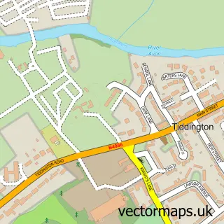
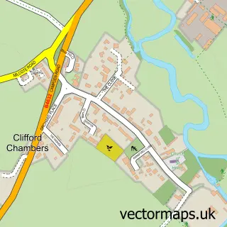
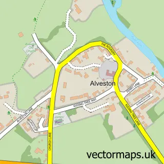
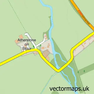
Nearby street map samples around Stratford-upon-Avon

More street maps in Warwickshire
750 metre map area coverage
Boundary, postcode and point of interest information for the 750m x 750m rectangle centred on this sample map.
Boundaries containing map centre
Constituency: Stratford-on-Avon Co Const
County: Warwickshire County
District: Stratford-on-Avon District
Icb: NHS Coventry and Warwickshire ICB
Parish: Stratford-upon-Avon CP
Police Force: warwickshire
Postcode District: CV37
Postcode Sector: CV37 6
Ward: Stratford Welcombe Ward
Nearby boundaries intersecting sample
Postcode Sector: CV37 0, CV37 7
Ward: Stratford Clopton Ward, Stratford Guildhall & Bridgetown Ward
Postcode coverage
POI category counts
Clothing Store: 35
Pub: 31
Real Estate Agent: 29
Hotel: 25
Restaurant: 25
Cafe: 23
Hair Salon: 22
Professional Services: 22
Flowers And Gifts Shop: 20
Beauty Salon: 19
Sample points of interest
- The Bard’s Retreat
- Bernard Rogers & Co. Chartered Accountants (Stratford-upon-Avon)
- Cooper Adams
- FILAN Accountants Limited
- Fruition Accountancy
- H L Barnes
- Leigh Graham Associates
- Murphy Salisbury Ltd.
- Nicholas Graham Associates
- Aspire Design & Print Services
- Blueberry Balloons
- Mike Hill Graphics
Create a larger editable map of Stratford-upon-Avon
This sample shows only a 750 metre area. To create a larger map of Stratford-upon-Avon, use our map builder to choose your own coverage area, add titles and download editable SVG, PDF and PNG files.
Create a custom map of Stratford-upon-Avon