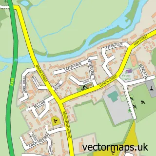
This Hatton Rock street map is a detailed vector street map covering a 750m x 750m area. Select a larger area to create and download your own vector street map of Hatton Rock.
The 750-metre map sample for Hatton Rock covers 10 mapped buildings and approximately 12.1 km of road detail, of which 2 named roads are named. The immediate area includes 2 MOT stations within 2 miles. The wider area around Hatton Rock features 2 hotels. To create a larger or custom map of Hatton Rock, the map builder lets you define your own coverage area and download editable SVG, PDF and PNG files.
Create a larger editable map of Hatton Rock
Choose any area you need and generate a high-quality vector map instantly. Perfect for print, planning, design, business and personal use.

This Hatton Rock street map in Warwickshire is available as downloadable SVG, PDF and PNG map files, or as a printed map for planning, business, display, education, local information and design work. You can also create a larger custom map area using the map selector.
What this Hatton Rock map sample shows
Hatton Rock lies within Stratford-Upon-Avon Cp parish, part of Tiddington ward in the Stratford-On-Avon District local authority area. The postcode geography for this area includes the CV postcode area, the CV37 postcode district and the CV37 7 postcode sector. Residents fall under the Nhs Coventry And Warwickshire Integrated Care Board for NHS services.
Local features near Hatton Rock
Within 2 milesAmenities and services in and around Hatton Rock.
Administrative and postcode information for Hatton Rock
Hatton Rock lies within Stratford-Upon-Avon Cp parish, part of Tiddington ward in the Stratford-On-Avon District local authority area. The postcode geography for this area includes the CV postcode area, the CV37 postcode district and the CV37 7 postcode sector. Residents fall under the Nhs Coventry And Warwickshire Integrated Care Board for NHS services.
Nearby street map samples around Hatton Rock
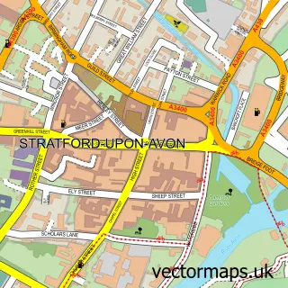

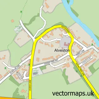
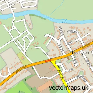
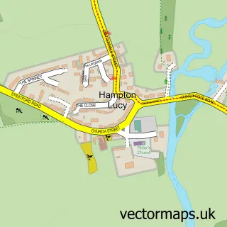
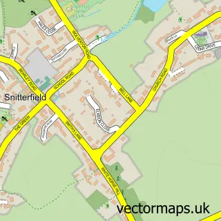
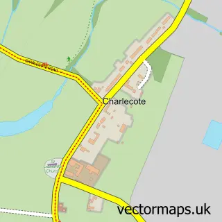
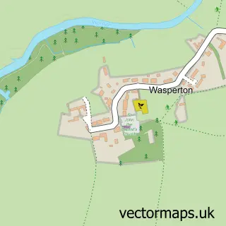
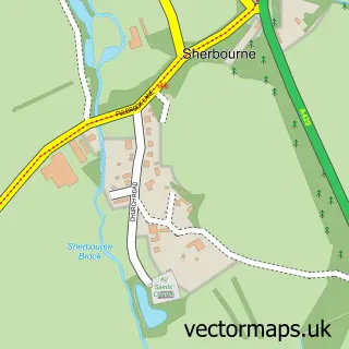
More street maps in Warwickshire
750 metre map area coverage
Boundary, postcode and point of interest information for the 750m x 750m rectangle centred on this sample map.
Boundaries containing map centre
Constituency: Stratford-on-Avon Co Const
County: Warwickshire County
District: Stratford-on-Avon District
Icb: NHS Coventry and Warwickshire ICB
Parish: Hampton Lucy CP
Police Force: warwickshire
Postcode District: CV37
Postcode Sector: CV37 0
Ward: Wellesbourne North & Rural Ward
Nearby boundaries intersecting sample
Parish: Stratford-upon-Avon CP
Postcode Sector: CV37 7
Ward: Stratford Tiddington Ward
Postcode coverage
POI category counts
Hotel: 2
Business Consulting: 1
Contractor: 1
Environmental Conservation And Ecological Organizations: 1
Gym: 1
Home Cleaning: 1
Home Health Care: 1
Spas: 1
Wholesale Store: 1
Sample points of interest
- NSU Media
- Avoncroft Homes
- Perdix Wildlife Supplies
- Active Nation Uk Ltd.
- Mill Sales Direct Ltd
- Unique Senior Care
- Hatton Rock
- Stratford Bell Tower Cottage
- Miri at Le Spa
- Fuel Tank Store
Create a larger editable map of Hatton Rock
This sample shows only a 750 metre area. To create a larger map of Hatton Rock, use our map builder to choose your own coverage area, add titles and download editable SVG, PDF and PNG files.
Create a custom map of Hatton Rock