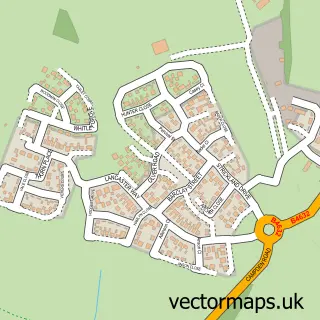
This Clifford Chambers street map is a detailed vector street map covering a 750m x 750m area. Select a larger area to create and download your own vector street map of Clifford Chambers.
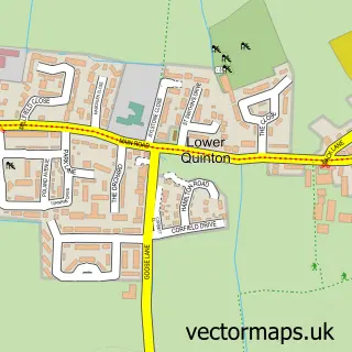
The 750-metre map sample for Clifford Chambers covers 145 mapped buildings and approximately 20.7 km of road detail, of which 10 named roads are named. The immediate area includes 3 GP surgeries within 2 miles and 4 MOT stations within 2 miles. The wider area around Clifford Chambers features 1 tourism point of interest, 1 hotel and 1 campsite within 2 miles. To create a larger or custom map of Clifford Chambers, the map builder lets you define your own coverage area and download editable SVG, PDF and PNG files.
Create a larger editable map of Clifford Chambers
Choose any area you need and generate a high-quality vector map instantly. Perfect for print, planning, design, business and personal use.

This Clifford Chambers street map in Warwickshire is available as downloadable SVG, PDF and PNG map files, or as a printed map for planning, business, display, education, local information and design work. You can also create a larger custom map area using the map selector.
What this Clifford Chambers map sample shows
Clifford Chambers lies within Clifford Chambers And Milcote Cp parish, part of Welford-On-Avon ward in the Stratford-On-Avon District local authority area. The postcode geography for this area includes the CV postcode area, the CV37 postcode district and the CV37 8 postcode sector. Residents fall under the Nhs Coventry And Warwickshire Integrated Care Board for NHS services.
Local features near Clifford Chambers
Within 2 milesAmenities and services in and around Clifford Chambers.
Administrative and postcode information for Clifford Chambers
The local authority covering Clifford Chambers is Stratford-On-Avon District, within the county of Warwickshire. The settlement lies within Welford-On-Avon ward and Clifford Chambers And Milcote Cp civil parish. The CV37 postcode district and CV37 8 postcode sector serve the immediate area. NHS provision in the area is delivered through South Warwickshire University Nhs Foundation Trust.
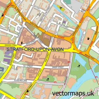
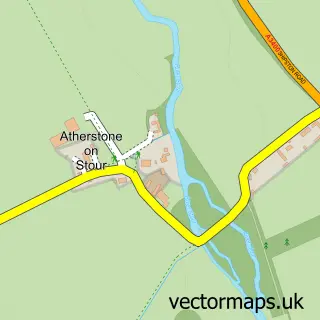
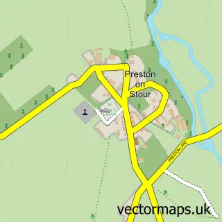
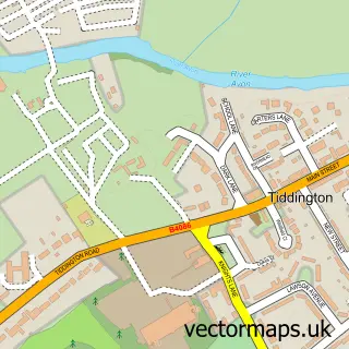
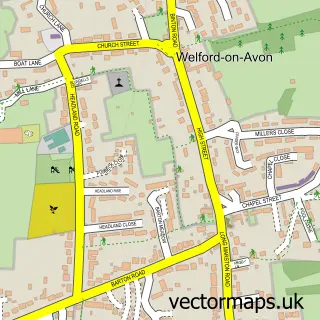
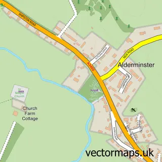
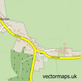
Nearby street map samples around Clifford Chambers

More street maps in Warwickshire
750 metre map area coverage
Boundary, postcode and point of interest information for the 750m x 750m rectangle centred on this sample map.
Boundaries containing map centre
Constituency: Stratford-on-Avon Co Const
County: Warwickshire County
District: Stratford-on-Avon District
Icb: NHS Coventry and Warwickshire ICB
Parish: Clifford Chambers and Milcote CP
Police Force: warwickshire
Postcode District: CV37
Postcode Sector: CV37 8
Ward: Long Marston Ward
Nearby boundaries intersecting sample
Parish: Stratford-upon-Avon CP
Ward: Stratford Orchard Hill Ward
Postcode coverage
POI category counts
Event Planning: 2
Anglican Church: 1
Appliance Manufacturer: 1
Baby Gear And Furniture: 1
Bike Repair Maintenance: 1
Building Supply Store: 1
Business Consulting: 1
Business Management Services: 1
Church Cathedral: 1
Corporate Entertainment Services: 1
Sample points of interest
- St Helen's Clifford Chambers
- Evonic Fires
- Love Little Smiles
- Under Cover Cycles
- C K Fires
- H R Remedies
- Simpson Sound And Vision Ltd.
- St Helen's Church
- Myles Pollock Magical Entertainer
- Marian Booth Dance Lessons
- Clifford Mill
- Showplace Ltd
Create a larger editable map of Clifford Chambers
This sample shows only a 750 metre area. To create a larger map of Clifford Chambers, use our map builder to choose your own coverage area, add titles and download editable SVG, PDF and PNG files.
Create a custom map of Clifford Chambers