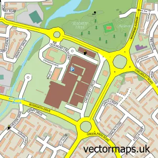
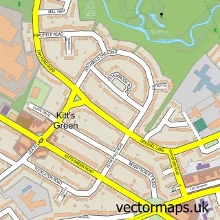
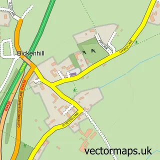
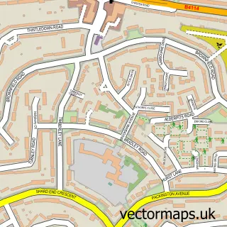
This Coleshill Heath street map is a detailed vector street map covering a 750m x 750m area. Select a larger area to create and download your own vector street map of Coleshill Heath.
The 750-metre map sample for Coleshill Heath covers 326 mapped buildings and approximately 30.5 km of road detail, of which 22 named roads are named. The immediate area includes 4 GP surgeries within 2 miles, 1 pub and 1 MOT station, with 11 within 2 miles. The wider area around Coleshill Heath features 1 food and drink venue and 3 hotels. To create a larger or custom map of Coleshill Heath, the map builder lets you define your own coverage area and download editable SVG, PDF and PNG files.
Create a larger editable map of Coleshill Heath
Choose any area you need and generate a high-quality vector map instantly. Perfect for print, planning, design, business and personal use.

This Coleshill Heath street map in West Midlands is available as downloadable SVG, PDF and PNG map files, or as a printed map for planning, business, display, education, local information and design work. You can also create a larger custom map area using the map selector.
What this Coleshill Heath map sample shows
Coleshill Heath lies within Bickenhill And Marston Green Cp parish, part of Bickenhill ward in the Solihull District (B) local authority area. The postcode geography for this area includes the B postcode area, the B37 postcode district and the B37 7 postcode sector. Residents fall under the Nhs Birmingham And Solihull Integrated Care Board for NHS services.
Local features near Coleshill Heath
Within 2 milesAmenities and services in and around Coleshill Heath.
Administrative and postcode information for Coleshill Heath
The local authority covering Coleshill Heath is Solihull District (B), within the county of West Midlands. The settlement lies within Bickenhill ward and Bickenhill And Marston Green Cp civil parish. The B37 postcode district and B37 7 postcode sector serve the immediate area. NHS provision in the area is delivered through University Hospitals Birmingham Nhs Foundation Trust.
Nearby street map samples around Coleshill Heath

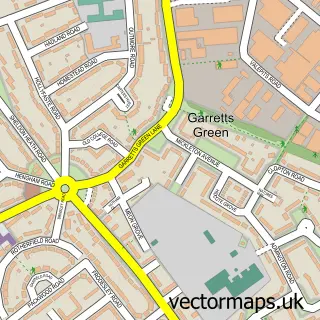
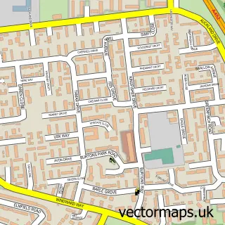
More street maps in West Midlands
750 metre map area coverage
Boundary, postcode and point of interest information for the 750m x 750m rectangle centred on this sample map.
Boundaries containing map centre
Constituency: Meriden and Solihull East Co Const
District: Solihull District (B)
Icb: NHS Birmingham and Solihull ICB
Parish: Chelmsley Wood CP
Police Force: west midlands
Postcode District: B37
Postcode Sector: B37 7
Ward: Chelmsley Wood Ward
Nearby boundaries intersecting sample
Parish: Bickenhill and Marston Green CP
Ward: Bickenhill Ward
Postcode coverage
POI category counts
Hotel: 3
Bakery: 2
Arts And Entertainment: 1
Atms: 1
Automotive Parts And Accessories: 1
Beverage Store: 1
Contractor: 1
Elementary School: 1
Government Services: 1
Gym: 1
Sample points of interest
- Legoland
- Wheatcroft Food Store & Off Licence, Chelmsley Wood
- Jivaj
- Cake N Bake
- Sugar high cakes and bakes
- The Greenwood
- Scribers Construction
- Mozano Senior High School
- Ryder Truck Rental
- Banbury bowls club
- Gouldstone Home Improvements
- Heath Lodge Hotel
Create a larger editable map of Coleshill Heath
This sample shows only a 750 metre area. To create a larger map of Coleshill Heath, use our map builder to choose your own coverage area, add titles and download editable SVG, PDF and PNG files.
Create a custom map of Coleshill Heath