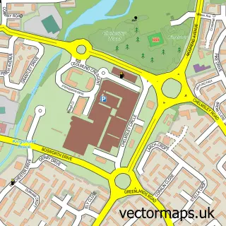
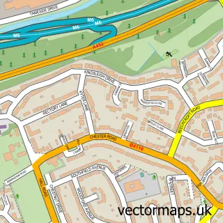
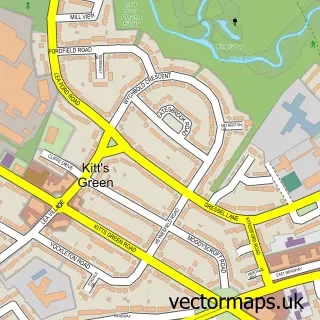
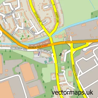
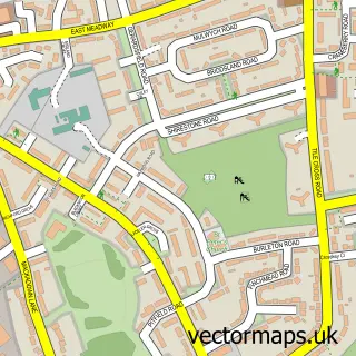
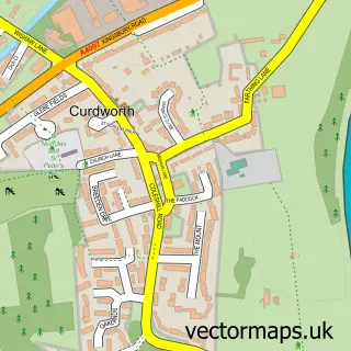
This Smith's Wood street map is a detailed vector street map covering a 750m x 750m area. Select a larger area to create and download your own vector street map of Smith's Wood.
The 750-metre map sample for Smith's Wood covers 436 mapped buildings and approximately 44.7 km of road detail, of which 44 named roads are named. The immediate area includes 2 schools, 2 GP surgeries, with 11 within 2 miles and 15 MOT stations within 2 miles. The wider area around Smith's Wood features 1 food and drink venue. To create a larger or custom map of Smith's Wood, the map builder lets you define your own coverage area and download editable SVG, PDF and PNG files.
Create a larger editable map of Smith's Wood
Choose any area you need and generate a high-quality vector map instantly. Perfect for print, planning, design, business and personal use.

This Smith's Wood street map in West Midlands is available as downloadable SVG, PDF and PNG map files, or as a printed map for planning, business, display, education, local information and design work. You can also create a larger custom map area using the map selector.
What this Smith's Wood map sample shows
Smith's Wood lies within Water Orton Cp parish, part of Water Orton ward in the North Warwickshire District (B) local authority area. The postcode geography for this area includes the B postcode area, the B46 postcode district and the B46 1 postcode sector. Residents fall under the Nhs Coventry And Warwickshire Integrated Care Board for NHS services.
Local features near Smith's Wood
Within 2 milesAmenities and services in and around Smith's Wood.
Administrative and postcode information for Smith's Wood
The local authority covering Smith's Wood is North Warwickshire District (B), within the county of West Midlands. The settlement lies within Water Orton ward and Water Orton Cp civil parish. The B46 postcode district and B46 1 postcode sector serve the immediate area. NHS provision in the area is delivered through University Hospitals Birmingham Nhs Foundation Trust.
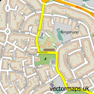
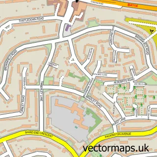
Nearby street map samples around Smith's Wood

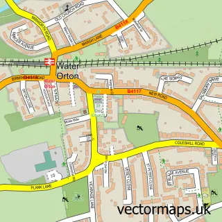
More street maps in West Midlands
750 metre map area coverage
Boundary, postcode and point of interest information for the 750m x 750m rectangle centred on this sample map.
Boundaries containing map centre
Constituency: Birmingham Hodge Hill and Solihull North Boro Const
District: Solihull District (B)
Icb: NHS Birmingham and Solihull ICB
Parish: Smith's Wood CP
Police Force: west midlands
Postcode District: B36
Postcode Sector: B36 0
Ward: Smith's Wood Ward
Nearby boundaries intersecting sample
Constituency: North Warwickshire and Bedworth Co Const
County: Warwickshire County
District: North Warwickshire District (B)
Parish: Castle Bromwich CP, Water Orton CP
Postcode Sector: B36 9
Ward: Castle Bromwich Ward, Water Orton Ward
Postcode coverage
POI category counts
Beauty And Spa: 3
Convenience Store: 3
Atms: 2
Beauty Salon: 2
Caterer: 2
Driving School: 2
Event Planning: 2
Flowers And Gifts Shop: 2
Home Service: 2
Professional Services: 2
Sample points of interest
- Paradise Island
- Home Group
- ATM (Spar Smithswood)
- Spar (CZI), Smithswood
- Greggs
- Barber P.
- Beauty Spot by Amy
- XC Nails & Spa Burtons Way
- E & R Beauty
- New Image
- Belly's Caribbean Grill
- JB's Catering
Create a larger editable map of Smith's Wood
This sample shows only a 750 metre area. To create a larger map of Smith's Wood, use our map builder to choose your own coverage area, add titles and download editable SVG, PDF and PNG files.
Create a custom map of Smith's Wood