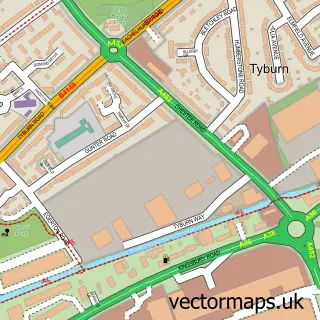
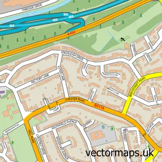
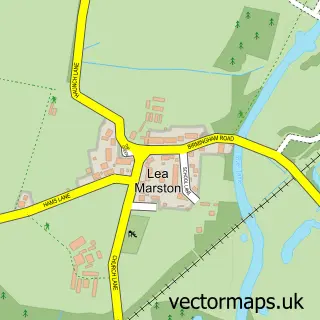
This Minworth street map is a detailed vector street map covering a 750m x 750m area. Select a larger area to create and download your own vector street map of Minworth.
The 750-metre map sample for Minworth covers 206 mapped buildings and approximately 25.6 km of road detail, of which 16 named roads are named. The immediate area includes 1 school, 9 GP surgeries within 2 miles, 3 pubs and 2 MOT stations, with 11 within 2 miles. The wider area around Minworth features 1 tourism point of interest and 3 food and drink venues. To create a larger or custom map of Minworth, the map builder lets you define your own coverage area and download editable SVG, PDF and PNG files.
Create a larger editable map of Minworth
Choose any area you need and generate a high-quality vector map instantly. Perfect for print, planning, design, business and personal use.

This Minworth street map in West Midlands is available as downloadable SVG, PDF and PNG map files, or as a printed map for planning, business, display, education, local information and design work. You can also create a larger custom map area using the map selector.
What this Minworth map sample shows
Minworth lies within Sutton Coldfield Cp parish, part of Sutton Walmley & Minworth ward in the Birmingham District (B) local authority area. The postcode geography for this area includes the B postcode area, the B76 postcode district and the B76 9 postcode sector. Residents fall under the Nhs Birmingham And Solihull Integrated Care Board for NHS services.
Local features near Minworth
Within 2 milesAmenities and services in and around Minworth.
Administrative and postcode information for Minworth
Minworth lies within Sutton Coldfield Cp parish, part of Sutton Walmley & Minworth ward in the Birmingham District (B) local authority area. The postcode geography for this area includes the B postcode area, the B76 postcode district and the B76 9 postcode sector. Residents fall under the Nhs Birmingham And Solihull Integrated Care Board for NHS services.
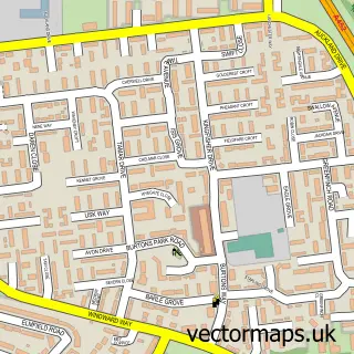
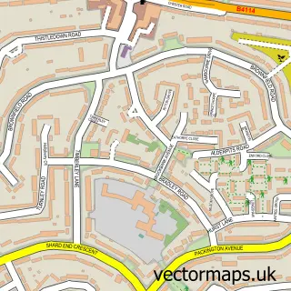
Nearby street map samples around Minworth

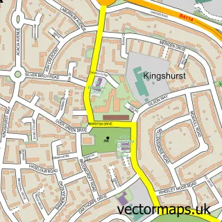
More street maps in West Midlands
750 metre map area coverage
Boundary, postcode and point of interest information for the 750m x 750m rectangle centred on this sample map.
Boundaries containing map centre
Constituency: Sutton Coldfield Boro Const
District: Birmingham District (B)
Icb: NHS Birmingham and Solihull ICB
Parish: Sutton Coldfield CP
Police Force: west midlands
Postcode District: B76
Postcode Sector: B76 9
Ward: Sutton Walmley & Minworth Ward
Nearby boundaries intersecting sample
Postcode Sector: B76 1
Postcode coverage
POI category counts
Automotive Repair: 3
Pub: 3
Anglican Church: 2
Educational Services: 2
Electrician: 2
Elementary School: 2
Irish Pub: 2
Advertising Agency: 1
Arts And Entertainment: 1
Auto Electrical Repair: 1
Sample points of interest
- High Spy Design
- St George the Martyr, Minworth
- St John's at Minworth
- Butterflies Face Painting
- Justice Security Systems
- Gregory
- MOT Auto Repairs
- Minworth Service Centre
- Revolution X Exhibitions
- Gregory Transport
- A Licence 2 Drive
- Open Roads
Create a larger editable map of Minworth
This sample shows only a 750 metre area. To create a larger map of Minworth, use our map builder to choose your own coverage area, add titles and download editable SVG, PDF and PNG files.
Create a custom map of Minworth