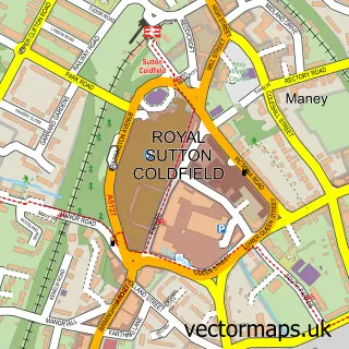
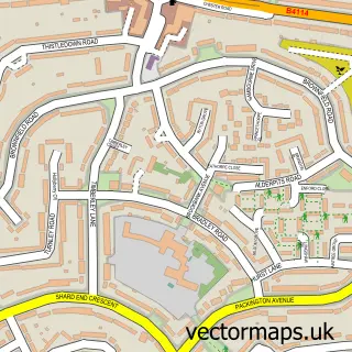
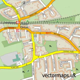
This Tyburn street map is a detailed vector street map covering a 750m x 750m area. Select a larger area to create and download your own vector street map of Tyburn.
The 750-metre map sample for Tyburn covers 288 mapped buildings and approximately 30.3 km of road detail, of which 23 named roads are named. The immediate area includes 1 school, 13 GP surgeries within 2 miles, 3 pubs and 3 MOT stations, with 23 within 2 miles. The wider area around Tyburn features 3 tourism points of interest and 10 food and drink venues. To create a larger or custom map of Tyburn, the map builder lets you define your own coverage area and download editable SVG, PDF and PNG files.
Create a larger editable map of Tyburn
Choose any area you need and generate a high-quality vector map instantly. Perfect for print, planning, design, business and personal use.

This Tyburn street map in West Midlands is available as downloadable SVG, PDF and PNG map files, or as a printed map for planning, business, display, education, local information and design work. You can also create a larger custom map area using the map selector.
What this Tyburn map sample shows
Tyburn lies within Birmingham District (B) parish, part of Pype Hayes ward in the Birmingham District (B) local authority area. The postcode geography for this area includes the B postcode area, the B24 postcode district and the B24 0 postcode sector. Residents fall under the Nhs Birmingham And Solihull Integrated Care Board for NHS services.
Local features near Tyburn
Within 2 milesAmenities and services in and around Tyburn.
Administrative and postcode information for Tyburn
The local authority covering Tyburn is Birmingham District (B), within the county of West Midlands. The settlement lies within Pype Hayes ward and Birmingham District (B) civil parish. The B24 postcode district and B24 0 postcode sector serve the immediate area. NHS provision in the area is delivered through University Hospitals Birmingham Nhs Foundation Trust.
Nearby street map samples around Tyburn

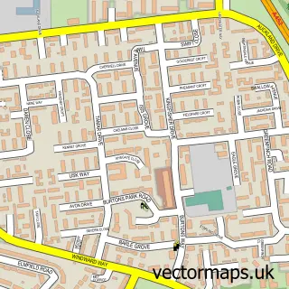
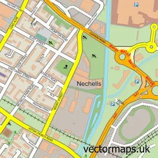
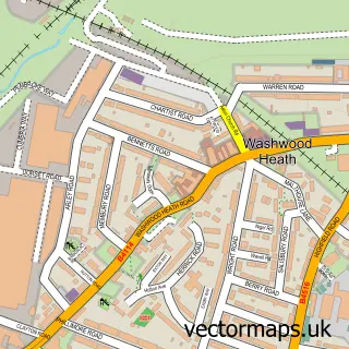
More street maps in West Midlands
750 metre map area coverage
Boundary, postcode and point of interest information for the 750m x 750m rectangle centred on this sample map.
Boundaries containing map centre
Constituency: Birmingham Erdington Boro Const
District: Birmingham District (B)
Icb: NHS Birmingham and Solihull ICB
Police Force: west midlands
Postcode District: B24
Postcode Sector: B24 0
Ward: Pype Hayes Ward
Nearby boundaries intersecting sample
Postcode District: B35
Postcode Sector: B24 9, B35 6, B35 7
Ward: Castle Vale Ward
Postcode coverage
POI category counts
Carpet Store: 7
Building Supply Store: 6
Car Dealer: 6
Home And Garden: 4
Coffee Shop: 3
Fast Food Restaurant: 3
Furniture Store: 3
Pub: 3
Automotive Repair: 2
Barber: 2
Sample points of interest
- Insight Accountants
- Erdington Ambulance Hub
- Lighthouse Church | St Mary's,Pype Hayes
- CFS Joinery
- Heathcotes Group
- Bee Tee Alarms Ltd.
- Erdington
- Volvo Cars Birmingham - Paul Rigby
- Halfords
- GKN Automotive
- M S Auto Centre ltd ( RAC APPROVED GARAGE )
- InstaVolt Charging Station
Create a larger editable map of Tyburn
This sample shows only a 750 metre area. To create a larger map of Tyburn, use our map builder to choose your own coverage area, add titles and download editable SVG, PDF and PNG files.
Create a custom map of Tyburn