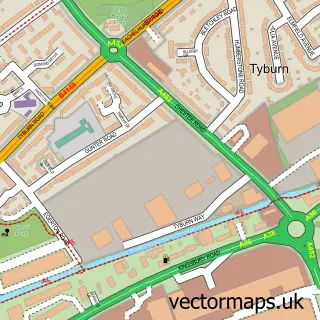
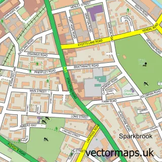
This Gravelly Hill street map is a detailed vector street map covering a 750m x 750m area. Select a larger area to create and download your own vector street map of Gravelly Hill.
The 750-metre map sample for Gravelly Hill covers 426 mapped buildings and approximately 36.6 km of road detail, of which 33 named roads are named. The immediate area includes 1 school, 1 railway station, 28 GP surgeries within 2 miles and 51 MOT stations within 2 miles. The wider area around Gravelly Hill features 2 food and drink venues and 1 hotel. To create a larger or custom map of Gravelly Hill, the map builder lets you define your own coverage area and download editable SVG, PDF and PNG files.
Create a larger editable map of Gravelly Hill
Choose any area you need and generate a high-quality vector map instantly. Perfect for print, planning, design, business and personal use.

This Gravelly Hill street map in West Midlands is available as downloadable SVG, PDF and PNG map files, or as a printed map for planning, business, display, education, local information and design work. You can also create a larger custom map area using the map selector.
What this Gravelly Hill map sample shows
Gravelly Hill lies within Birmingham District (B) parish, part of Gravelly Hill ward in the Birmingham District (B) local authority area. The postcode geography for this area includes the B postcode area, the B23 postcode district and the B23 7 postcode sector. Residents fall under the Nhs Birmingham And Solihull Integrated Care Board for NHS services.
Local features near Gravelly Hill
Within 2 milesAmenities and services in and around Gravelly Hill.
Administrative and postcode information for Gravelly Hill
Gravelly Hill lies within Birmingham District (B) parish, part of Gravelly Hill ward in the Birmingham District (B) local authority area. The postcode geography for this area includes the B postcode area, the B23 postcode district and the B23 7 postcode sector. Residents fall under the Nhs Birmingham And Solihull Integrated Care Board for NHS services.
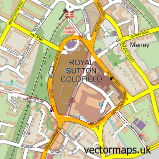
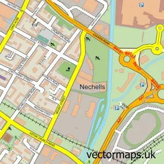
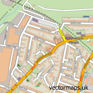
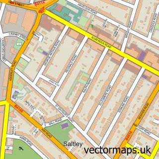
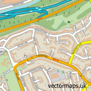
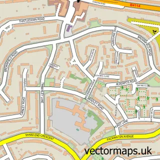
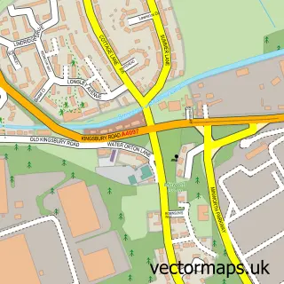
Nearby street map samples around Gravelly Hill

More street maps in West Midlands
750 metre map area coverage
Boundary, postcode and point of interest information for the 750m x 750m rectangle centred on this sample map.
Boundaries containing map centre
Constituency: Birmingham Erdington Boro Const
District: Birmingham District (B)
Icb: NHS Birmingham and Solihull ICB
Police Force: west midlands
Postcode District: B24
Postcode Sector: B24 8
Ward: Gravelly Hill Ward
Nearby boundaries intersecting sample
Postcode District: B23
Postcode Sector: B23 6, B23 7
Ward: Stockland Green Ward
Postcode coverage
POI category counts
Retirement Home: 4
Home Service: 3
Train Station: 2
Art Gallery: 1
Assisted Living Facility: 1
Auto Detailing: 1
Automotive: 1
Bakery: 1
Business Office Supplies And Stationery: 1
Butcher Shop: 1
Sample points of interest
- Zbigniew Żuchowski Anti Art Gallery
- Beech House
- Suttoncarwash
- Service Tech
- Cakesalaparties
- Ryman
- Wickett Family Butchers
- Junction 6 Car Wash
- St Mary and St John Catholic Church
- St Mary & St John R C Church
- Costa Express
- Birmingham City Council
Create a larger editable map of Gravelly Hill
This sample shows only a 750 metre area. To create a larger map of Gravelly Hill, use our map builder to choose your own coverage area, add titles and download editable SVG, PDF and PNG files.
Create a custom map of Gravelly Hill