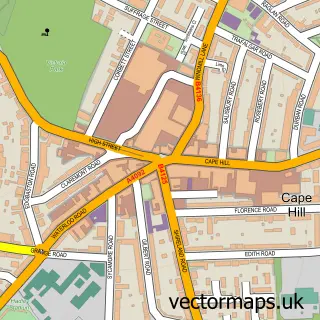
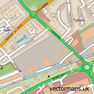
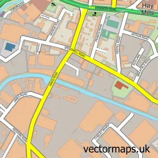
This Nechells street map is a detailed vector street map covering a 750m x 750m area. Select a larger area to create and download your own vector street map of Nechells.
The 750-metre map sample for Nechells covers 189 mapped buildings and approximately 33.6 km of road detail, of which 29 named roads are named. The immediate area includes 1 school, 26 GP surgeries within 2 miles, 2 pubs and 1 MOT station, with 82 within 2 miles. The wider area around Nechells features 1 tourism point of interest, 13 food and drink venues and 2 hotels. To create a larger or custom map of Nechells, the map builder lets you define your own coverage area and download editable SVG, PDF and PNG files.
Create a larger editable map of Nechells
Choose any area you need and generate a high-quality vector map instantly. Perfect for print, planning, design, business and personal use.

This Nechells street map in West Midlands is available as downloadable SVG, PDF and PNG map files, or as a printed map for planning, business, display, education, local information and design work. You can also create a larger custom map area using the map selector.
What this Nechells map sample shows
Nechells lies within Birmingham District (B) parish, part of Gravelly Hill ward in the Birmingham District (B) local authority area. The postcode geography for this area includes the B postcode area, the B23 postcode district and the B23 7 postcode sector. Residents fall under the Nhs Birmingham And Solihull Integrated Care Board for NHS services.
Local features near Nechells
Within 2 milesAmenities and services in and around Nechells.
Administrative and postcode information for Nechells
Nechells lies within Birmingham District (B) parish, part of Gravelly Hill ward in the Birmingham District (B) local authority area. The postcode geography for this area includes the B postcode area, the B23 postcode district and the B23 7 postcode sector. Residents fall under the Nhs Birmingham And Solihull Integrated Care Board for NHS services.
Nearby street map samples around Nechells

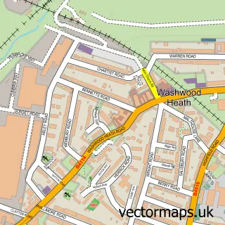
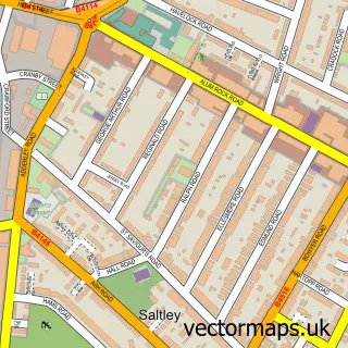
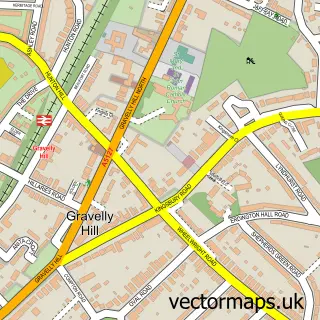
More street maps in West Midlands
750 metre map area coverage
Boundary, postcode and point of interest information for the 750m x 750m rectangle centred on this sample map.
Boundaries containing map centre
Constituency: Birmingham Ladywood Boro Const
District: Birmingham District (B)
Icb: NHS Birmingham and Solihull ICB
Police Force: west midlands
Postcode District: B7
Postcode Sector: B7 5
Ward: Nechells Ward
Nearby boundaries intersecting sample
Constituency: Birmingham Hodge Hill and Solihull North Boro Const
Postcode District: B24, B6, B8
Postcode Sector: B24 8, B6 7, B8 1
Ward: Ward End Ward
Postcode coverage
POI category counts
Fast Food Restaurant: 8
Professional Services: 7
Restaurant: 5
Automotive Repair: 4
Cafe: 4
Indian Restaurant: 4
Carpenter: 3
Gym: 3
Pizza Restaurant: 3
Post Office: 3
Sample points of interest
- Genting Solihull Limited
- Signs Express Birmingham Central
- Laser Station Star City
- Fun Station
- Funstation
- Picture Master Company Ltd.
- Zauk
- Bristol Street Motors SEAT Birmingham
- Disc Brakes Australia UK
- Turbosmart Uk Limited
- Birmingham Autogas
- JT Performance & JJ PowderCoating
Create a larger editable map of Nechells
This sample shows only a 750 metre area. To create a larger map of Nechells, use our map builder to choose your own coverage area, add titles and download editable SVG, PDF and PNG files.
Create a custom map of Nechells