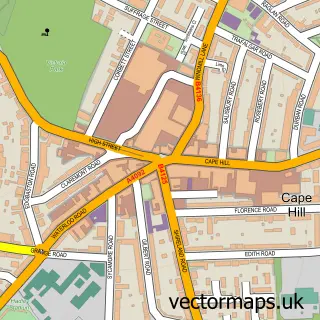
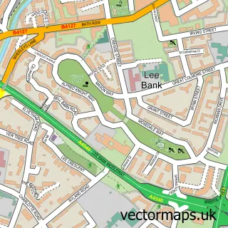
This Washwood Heath street map is a detailed vector street map covering a 750m x 750m area. Select a larger area to create and download your own vector street map of Washwood Heath.
The 750-metre map sample for Washwood Heath covers 275 mapped buildings and approximately 30.5 km of road detail, of which 31 named roads are named. The immediate area includes 2 schools, 1 GP surgery, with 30 within 2 miles, 1 pub and 1 MOT station, with 89 within 2 miles. The wider area around Washwood Heath features 3 food and drink venues. To create a larger or custom map of Washwood Heath, the map builder lets you define your own coverage area and download editable SVG, PDF and PNG files.
Create a larger editable map of Washwood Heath
Choose any area you need and generate a high-quality vector map instantly. Perfect for print, planning, design, business and personal use.

This Washwood Heath street map in West Midlands is available as downloadable SVG, PDF and PNG map files, or as a printed map for planning, business, display, education, local information and design work. You can also create a larger custom map area using the map selector.
What this Washwood Heath map sample shows
Washwood Heath lies within Birmingham District (B) parish, part of Nechells ward in the Birmingham District (B) local authority area. The postcode geography for this area includes the B postcode area, the B6 postcode district and the B6 5 postcode sector. Residents fall under the Nhs Birmingham And Solihull Integrated Care Board for NHS services.
Local features near Washwood Heath
Within 2 milesAmenities and services in and around Washwood Heath.
Administrative and postcode information for Washwood Heath
The local authority covering Washwood Heath is Birmingham District (B), within the county of West Midlands. The settlement lies within Nechells ward and Birmingham District (B) civil parish. The B6 postcode district and B6 5 postcode sector serve the immediate area. NHS provision in the area is delivered through Sandwell And West Birmingham Hospitals Nhs Trust.
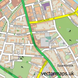
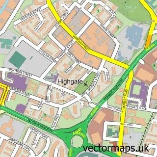
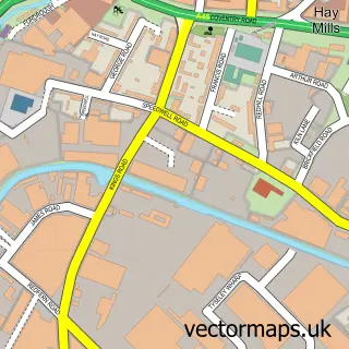
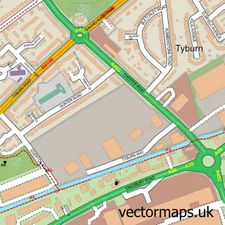
Nearby street map samples around Washwood Heath

More street maps in West Midlands
750 metre map area coverage
Boundary, postcode and point of interest information for the 750m x 750m rectangle centred on this sample map.
Boundaries containing map centre
Constituency: Birmingham Ladywood Boro Const
District: Birmingham District (B)
Icb: NHS Birmingham and Solihull ICB
Police Force: west midlands
Postcode District: B8
Postcode Sector: B8 1
Ward: Alum Rock Ward
Nearby boundaries intersecting sample
Constituency: Birmingham Hodge Hill and Solihull North Boro Const
Postcode District: B7
Postcode Sector: B7 5, B8 2, B8 3
Ward: Nechells Ward, Ward End Ward
Postcode coverage
POI category counts
Automotive Repair: 3
Convenience Store: 3
Mobile Phone Store: 3
College University: 2
Community Center: 2
Education: 2
Fast Food Restaurant: 2
Freight And Cargo Service: 2
Gas Station: 2
Legal Services: 2
Sample points of interest
- Atherapy Solihull Virgin Active
- Malik And Co.
- St Mark, Washwood Heath
- Mortgages Birmingham
- BK Auto Spares
- Birmingham Lpg Automobile Mtrs
- Docz Recovery Solutions
- Vag HQ Birmingham
- Studio244 Hair and Beauty Salon
- William Hill
- Shinka Builders Ltd
- Ajax Tocco International
Create a larger editable map of Washwood Heath
This sample shows only a 750 metre area. To create a larger map of Washwood Heath, use our map builder to choose your own coverage area, add titles and download editable SVG, PDF and PNG files.
Create a custom map of Washwood Heath