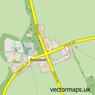
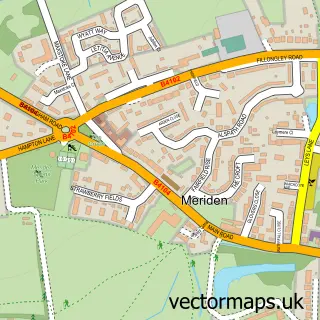
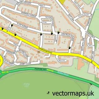
This Balsall Common street map is a detailed vector street map covering a 750m x 750m area. Select a larger area to create and download your own vector street map of Balsall Common.
The 750-metre map sample for Balsall Common covers 537 mapped buildings and approximately 36.7 km of road detail, of which 36 named roads are named. The immediate area includes 1 GP surgery within 2 miles, 3 pubs and 3 MOT stations within 2 miles. The wider area around Balsall Common features 4 food and drink venues and 3 hotels. To create a larger or custom map of Balsall Common, the map builder lets you define your own coverage area and download editable SVG, PDF and PNG files.
Create a larger editable map of Balsall Common
Choose any area you need and generate a high-quality vector map instantly. Perfect for print, planning, design, business and personal use.

This Balsall Common street map in West Midlands is available as downloadable SVG, PDF and PNG map files, or as a printed map for planning, business, display, education, local information and design work. You can also create a larger custom map area using the map selector.
What this Balsall Common map sample shows
Balsall Common lies within Balsall Cp parish, part of Meriden ward in the Solihull District (B) local authority area. The postcode geography for this area includes the CV postcode area, the CV7 postcode district and the CV7 7 postcode sector. Residents fall under the Nhs Birmingham And Solihull Integrated Care Board for NHS services.
Local features near Balsall Common
Within 2 milesAmenities and services in and around Balsall Common.
Administrative and postcode information for Balsall Common
The local authority covering Balsall Common is Solihull District (B), within the county of West Midlands. The settlement lies within Meriden ward and Balsall Cp civil parish. The CV7 postcode district and CV7 7 postcode sector serve the immediate area. NHS provision in the area is delivered through University Hospitals Birmingham Nhs Foundation Trust.
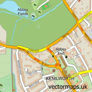
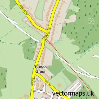
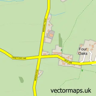
Nearby street map samples around Balsall Common

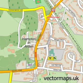
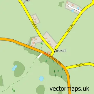
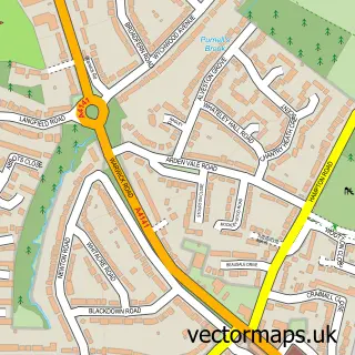
More street maps in West Midlands
750 metre map area coverage
Boundary, postcode and point of interest information for the 750m x 750m rectangle centred on this sample map.
Boundaries containing map centre
Constituency: Meriden and Solihull East Co Const
District: Solihull District (B)
Icb: NHS Birmingham and Solihull ICB
Parish: Balsall CP
Police Force: west midlands
Postcode District: CV7
Postcode Sector: CV7 7
Ward: Meriden Ward
Nearby boundaries intersecting sample
Parish: Berkswell CP
Postcode coverage
POI category counts
Indian Restaurant: 5
Beauty Salon: 4
Atms: 3
Hotel: 3
Pub: 3
Barber: 2
Beauty Product Supplier: 2
Community Center: 2
Convenience Store: 2
Dentist: 2
Sample points of interest
- Frith & Co.
- Birmingham International Airport - Terminal 3
- Balsall Common
- Tamarind
- Arden Grove
- ATM (Post Office)
- Heart of England Co-operative Balsall Common
- Shell Balsall Common (797), Balsall Common
- the little audio company
- DI Security
- A1 Motor Store
- Hsbc UK
Create a larger editable map of Balsall Common
This sample shows only a 750 metre area. To create a larger map of Balsall Common, use our map builder to choose your own coverage area, add titles and download editable SVG, PDF and PNG files.
Create a custom map of Balsall Common