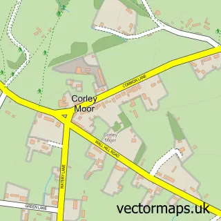
This Berkswell street map is a detailed vector street map covering a 750m x 750m area. Select a larger area to create and download your own vector street map of Berkswell.
The 750-metre map sample for Berkswell covers 63 mapped buildings and approximately 12.3 km of road detail, of which 6 named roads are named. The immediate area includes 1 school, 1 GP surgery within 2 miles, 1 pub and 3 MOT stations within 2 miles. The wider area around Berkswell features 1 tourism point of interest and 2 food and drink venues. To create a larger or custom map of Berkswell, the map builder lets you define your own coverage area and download editable SVG, PDF and PNG files.
Create a larger editable map of Berkswell
Choose any area you need and generate a high-quality vector map instantly. Perfect for print, planning, design, business and personal use.

This Berkswell street map in West Midlands is available as downloadable SVG, PDF and PNG map files, or as a printed map for planning, business, display, education, local information and design work. You can also create a larger custom map area using the map selector.
What this Berkswell map sample shows
Berkswell lies within Berkswell Cp parish, part of Meriden ward in the Solihull District (B) local authority area. The postcode geography for this area includes the CV postcode area, the CV7 postcode district and the CV7 7 postcode sector. Residents fall under the Nhs Birmingham And Solihull Integrated Care Board for NHS services.
Local features near Berkswell
Within 2 milesAmenities and services in and around Berkswell.
Administrative and postcode information for Berkswell
The local authority covering Berkswell is Solihull District (B), within the county of West Midlands. The settlement lies within Meriden ward and Berkswell Cp civil parish. The CV7 postcode district and CV7 7 postcode sector serve the immediate area. NHS provision in the area is delivered through University Hospitals Birmingham Nhs Foundation Trust.
Nearby street map samples around Berkswell

More street maps in West Midlands
750 metre map area coverage
Boundary, postcode and point of interest information for the 750m x 750m rectangle centred on this sample map.
Boundaries containing map centre
Constituency: Meriden and Solihull East Co Const
District: Solihull District (B)
Icb: NHS Birmingham and Solihull ICB
Parish: Berkswell CP
Police Force: west midlands
Postcode District: CV7
Postcode Sector: CV7 7
Ward: Meriden Ward
Nearby boundaries intersecting sample
No additional intersecting boundaries found.
Postcode coverage
POI category counts
Anglican Church: 2
Scout Hall: 2
Bridal Shop: 1
Cafe: 1
Community Center: 1
Community Services Non Profits: 1
Dance School: 1
Elementary School: 1
Grocery Store: 1
Landscaping: 1
Sample points of interest
- Berkswell - St. John Baptist
- St John Baptist Anglican Church
- Lacey Joys Wedding Boutique
- The Nook, Berkswell Village Stores
- Berkswell Reading Room
- Spencer’s Retreat part of The Langdale Trust
- Capella Academy of Dance
- Berkswell Church of England Primary School
- Ram Hall
- Premier Drives and Landscapes
- Berkswell Museum
- Bear Inn
Create a larger editable map of Berkswell
This sample shows only a 750 metre area. To create a larger map of Berkswell, use our map builder to choose your own coverage area, add titles and download editable SVG, PDF and PNG files.
Create a custom map of Berkswell