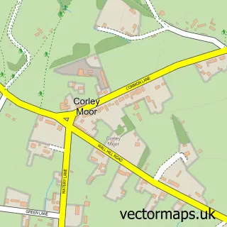
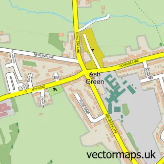
This Corley street map is a detailed vector street map covering a 750m x 750m area. Select a larger area to create and download your own vector street map of Corley.
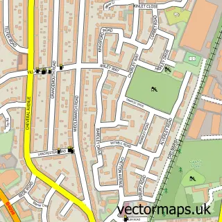
The 750-metre map sample for Corley covers 143 mapped buildings and approximately 15.6 km of road detail, of which 6 named roads are named. The immediate area includes 1 school and 1 MOT station within 2 miles. The wider area around Corley features 1 food and drink venue. To create a larger or custom map of Corley, the map builder lets you define your own coverage area and download editable SVG, PDF and PNG files.
Create a larger editable map of Corley
Choose any area you need and generate a high-quality vector map instantly. Perfect for print, planning, design, business and personal use.

This Corley street map in Warwickshire is available as downloadable SVG, PDF and PNG map files, or as a printed map for planning, business, display, education, local information and design work. You can also create a larger custom map area using the map selector.
What this Corley map sample shows
Corley lies within Corley Cp parish, part of Fillongley ward in the North Warwickshire District (B) local authority area. The postcode geography for this area includes the CV postcode area, the CV7 postcode district and the CV7 8 postcode sector. Residents fall under the Nhs Coventry And Warwickshire Integrated Care Board for NHS services.
Local features near Corley
Within 2 milesAmenities and services in and around Corley.
Administrative and postcode information for Corley
Corley lies within Corley Cp parish, part of Fillongley ward in the North Warwickshire District (B) local authority area. The postcode geography for this area includes the CV postcode area, the CV7 postcode district and the CV7 8 postcode sector. Residents fall under the Nhs Coventry And Warwickshire Integrated Care Board for NHS services.
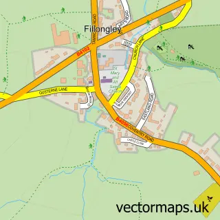
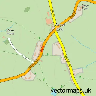
Nearby street map samples around Corley

More street maps in Warwickshire
750 metre map area coverage
Boundary, postcode and point of interest information for the 750m x 750m rectangle centred on this sample map.
Boundaries containing map centre
Constituency: North Warwickshire and Bedworth Co Const
County: Warwickshire County
District: North Warwickshire District (B)
Icb: NHS Coventry and Warwickshire ICB
Parish: Corley CP
Police Force: warwickshire
Postcode District: CV7
Postcode Sector: CV7 8
Ward: Fillongley Ward
Nearby boundaries intersecting sample
No additional intersecting boundaries found.
Postcode coverage
POI category counts
Community Center: 2
Driving School: 2
Pet Groomer: 2
Beer Bar: 1
Caterer: 1
Church Cathedral: 1
Education: 1
Elementary School: 1
Flowers And Gifts Shop: 1
Kitchen And Bath: 1
Sample points of interest
- Horse and Jockey Corley
- Buffet Junction
- Corley Parish Church
- Corley Village Hall
- Corley Village Hall Association
- L Plates School of Motoring
- L-Plates School of Motoring
- Corley Centre
- Corley Academy
- Coldwater Collection
- Faber Kitchens - Kitchens supplied & fitted
- Canine Beauty Bar
Create a larger editable map of Corley
This sample shows only a 750 metre area. To create a larger map of Corley, use our map builder to choose your own coverage area, add titles and download editable SVG, PDF and PNG files.
Create a custom map of Corley