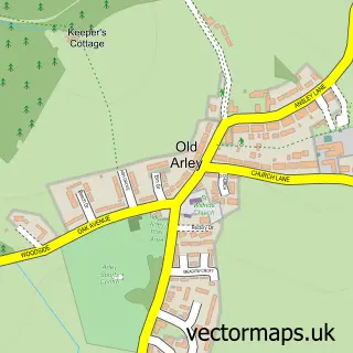
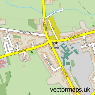
This New Arley street map is a detailed vector street map covering a 750m x 750m area. Select a larger area to create and download your own vector street map of New Arley.
The 750-metre map sample for New Arley covers 302 mapped buildings and approximately 21.7 km of road detail, of which 20 named roads are named. The immediate area includes 1 school, 1 GP surgery within 2 miles, 1 pub and 2 MOT stations within 2 miles. The wider area around New Arley features 1 tourism point of interest and 2 food and drink venues. To create a larger or custom map of New Arley, the map builder lets you define your own coverage area and download editable SVG, PDF and PNG files.
Create a larger editable map of New Arley
Choose any area you need and generate a high-quality vector map instantly. Perfect for print, planning, design, business and personal use.

This New Arley street map in Warwickshire is available as downloadable SVG, PDF and PNG map files, or as a printed map for planning, business, display, education, local information and design work. You can also create a larger custom map area using the map selector.
What this New Arley map sample shows
New Arley lies within Arley Cp parish, part of Arley And Whitacre ward in the North Warwickshire District (B) local authority area. The postcode geography for this area includes the CV postcode area, the CV7 postcode district and the CV7 8 postcode sector. Residents fall under the Nhs Coventry And Warwickshire Integrated Care Board for NHS services.
Local features near New Arley
Within 2 milesAmenities and services in and around New Arley.
Administrative and postcode information for New Arley
The local authority covering New Arley is North Warwickshire District (B), within the county of Warwickshire. The settlement lies within Arley And Whitacre ward and Arley Cp civil parish. The CV7 postcode district and CV7 8 postcode sector serve the immediate area. NHS provision in the area is delivered through George Eliot Hospital Nhs Trust.
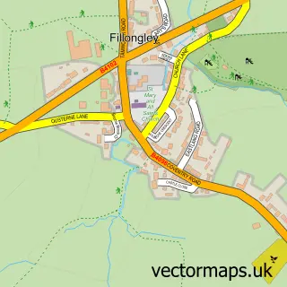
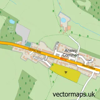
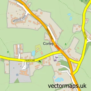
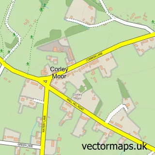
Nearby street map samples around New Arley

More street maps in Warwickshire
750 metre map area coverage
Boundary, postcode and point of interest information for the 750m x 750m rectangle centred on this sample map.
Boundaries containing map centre
Constituency: Nuneaton Co Const
County: Warwickshire County
District: North Warwickshire District (B)
Icb: NHS Coventry and Warwickshire ICB
Parish: Arley CP
Police Force: warwickshire
Postcode District: CV7
Postcode Sector: CV7 8
Ward: Arley and Whitacre Ward
Nearby boundaries intersecting sample
Constituency: North Warwickshire and Bedworth Co Const
Parish: Astley CP
Postcode District: CV10
Postcode Sector: CV10 7
Ward: Fillongley Ward
Postcode coverage
POI category counts
Automotive Repair: 2
Home Service: 2
Anglican Church: 1
Art Gallery: 1
Atms: 1
Beauty Salon: 1
Chimney Sweep: 1
Coffee Shop: 1
Community Center: 1
Convenience Store: 1
Sample points of interest
- St Michael
- H v SharpArt Mini Me Sculptures
- Heart of England Co-operative Gun Hill, New Arley
- Charles Street Garage
- Garage 21
- Serenity Midlands Ltd
- SCK Sweep & Servicing
- Costa Express
- Arley and St Michaels Community Centre
- Premier Toor Convenience Store
- Rhythm Time
- Gun Hill Infant School
Create a larger editable map of New Arley
This sample shows only a 750 metre area. To create a larger map of New Arley, use our map builder to choose your own coverage area, add titles and download editable SVG, PDF and PNG files.
Create a custom map of New Arley