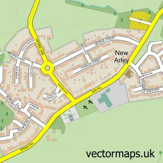
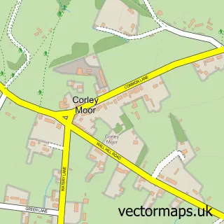
This Old Arley street map is a detailed vector street map covering a 750m x 750m area. Select a larger area to create and download your own vector street map of Old Arley.
The 750-metre map sample for Old Arley covers 141 mapped buildings and approximately 17.5 km of road detail, of which 14 named roads are named. The immediate area includes 1 school, 1 GP surgery, 2 pubs and 2 MOT stations within 2 miles. The wider area around Old Arley features 1 tourism point of interest and 2 food and drink venues. To create a larger or custom map of Old Arley, the map builder lets you define your own coverage area and download editable SVG, PDF and PNG files.
Create a larger editable map of Old Arley
Choose any area you need and generate a high-quality vector map instantly. Perfect for print, planning, design, business and personal use.

This Old Arley street map in Warwickshire is available as downloadable SVG, PDF and PNG map files, or as a printed map for planning, business, display, education, local information and design work. You can also create a larger custom map area using the map selector.
What this Old Arley map sample shows
Old Arley lies within Arley Cp parish, part of Arley And Whitacre ward in the North Warwickshire District (B) local authority area. The postcode geography for this area includes the CV postcode area, the CV7 postcode district and the CV7 8 postcode sector. Residents fall under the Nhs Coventry And Warwickshire Integrated Care Board for NHS services.
Local features near Old Arley
Within 2 milesAmenities and services in and around Old Arley.
Administrative and postcode information for Old Arley
The local authority covering Old Arley is North Warwickshire District (B), within the county of Warwickshire. The settlement lies within Arley And Whitacre ward and Arley Cp civil parish. The CV7 postcode district and CV7 8 postcode sector serve the immediate area. NHS provision in the area is delivered through George Eliot Hospital Nhs Trust.
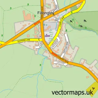
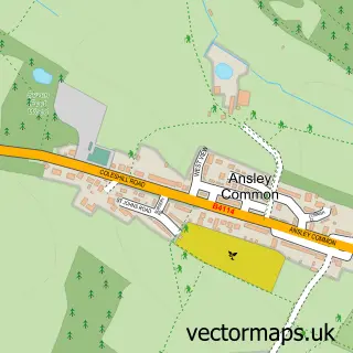
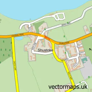
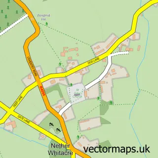
Nearby street map samples around Old Arley

More street maps in Warwickshire
750 metre map area coverage
Boundary, postcode and point of interest information for the 750m x 750m rectangle centred on this sample map.
Boundaries containing map centre
Constituency: Nuneaton Co Const
County: Warwickshire County
District: North Warwickshire District (B)
Icb: NHS Coventry and Warwickshire ICB
Parish: Arley CP
Police Force: warwickshire
Postcode District: CV7
Postcode Sector: CV7 8
Ward: Arley and Whitacre Ward
Nearby boundaries intersecting sample
No additional intersecting boundaries found.
Postcode coverage
POI category counts
Pub: 2
Sports And Recreation Venue: 2
Anglican Church: 1
Building Supply Store: 1
Butcher Shop: 1
Church Cathedral: 1
Doctor: 1
Elementary School: 1
Gardener: 1
Landmark And Historical Building: 1
Sample points of interest
- St Wilfrid's
- Metrix Surveys
- Rowley C H Ltd
- St Wilfrids Church
- Spring Hill Medical Centre
- Arley Primary School
- The Garden Studio
- Old Arley Methodist Hall
- Mike Nicholson
- Jacksons of Old Arley
- Arley Pharmacy
- The Wagon Load of Lime
Create a larger editable map of Old Arley
This sample shows only a 750 metre area. To create a larger map of Old Arley, use our map builder to choose your own coverage area, add titles and download editable SVG, PDF and PNG files.
Create a custom map of Old Arley