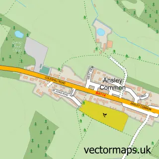
This Ansley street map is a detailed vector street map covering a 750m x 750m area. Select a larger area to create and download your own vector street map of Ansley.
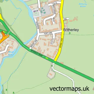
The 750-metre map sample for Ansley covers 173 mapped buildings and approximately 7.7 km of road detail, of which 6 named roads are named. The immediate area includes 1 GP surgery within 2 miles and 1 MOT station within 2 miles. To create a larger or custom map of Ansley, the map builder lets you define your own coverage area and download editable SVG, PDF and PNG files.
Create a larger editable map of Ansley
Choose any area you need and generate a high-quality vector map instantly. Perfect for print, planning, design, business and personal use.

This Ansley street map in Warwickshire is available as downloadable SVG, PDF and PNG map files, or as a printed map for planning, business, display, education, local information and design work. You can also create a larger custom map area using the map selector.
What this Ansley map sample shows
Ansley lies within Ansley Cp parish, part of Arley And Whitacre ward in the North Warwickshire District (B) local authority area. The postcode geography for this area includes the CV postcode area, the CV10 postcode district and the CV10 9 postcode sector. Residents fall under the Nhs Coventry And Warwickshire Integrated Care Board for NHS services.
Local features near Ansley
Within 2 milesAmenities and services in and around Ansley.
Administrative and postcode information for Ansley
Ansley lies within Ansley Cp parish, part of Arley And Whitacre ward in the North Warwickshire District (B) local authority area. The postcode geography for this area includes the CV postcode area, the CV10 postcode district and the CV10 9 postcode sector. Residents fall under the Nhs Coventry And Warwickshire Integrated Care Board for NHS services.
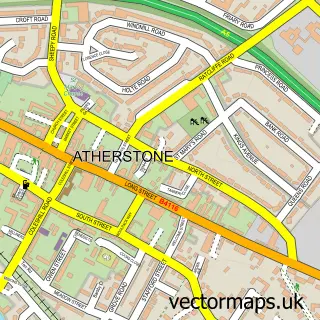
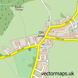
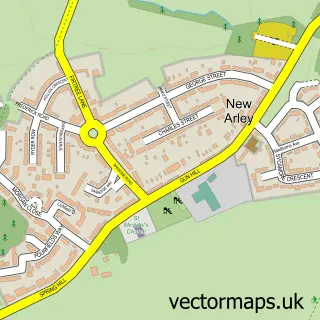
Nearby street map samples around Ansley

More street maps in Warwickshire
750 metre map area coverage
Boundary, postcode and point of interest information for the 750m x 750m rectangle centred on this sample map.
Boundaries containing map centre
Constituency: Nuneaton Co Const
County: Warwickshire County
District: North Warwickshire District (B)
Icb: NHS Coventry and Warwickshire ICB
Parish: Ansley CP
Police Force: warwickshire
Postcode District: CV10
Postcode Sector: CV10 9
Ward: Arley and Whitacre Ward
Nearby boundaries intersecting sample
No additional intersecting boundaries found.
Postcode coverage
POI category counts
Shipping Center: 2
Alternative Medicine: 1
Bakery: 1
Bar: 1
Beauty Salon: 1
Dog Trainer: 1
Freight And Cargo Service: 1
Hair Salon: 1
Information Technology Company: 1
Naturopathic Holistic: 1
Sample points of interest
- Beautiful Life Hypnotherapy
- The Village Cakery
- Tunnel Brewery
- LH Beauty studio
- Liv's Tails in Training | Dog Training
- Quicksilver Couriers
- Salon 45
- Data Productions
- Beautiful Life Hypnotherapy
- Ansley parish council
- Ansley Post Office
- Post Office-Ansley
Create a larger editable map of Ansley
This sample shows only a 750 metre area. To create a larger map of Ansley, use our map builder to choose your own coverage area, add titles and download editable SVG, PDF and PNG files.
Create a custom map of Ansley