This Witherley street map is a detailed vector street map covering a 750m x 750m area. Select a larger area to create and download your own vector street map of Witherley.
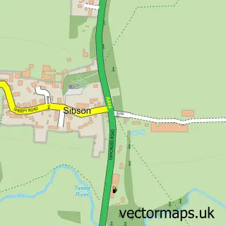
The 750-metre map sample for Witherley covers 144 mapped buildings and approximately 16.4 km of road detail, of which 13 named roads are named. The immediate area includes 1 school, 2 GP surgeries within 2 miles, 1 pub and 5 MOT stations within 2 miles. The wider area around Witherley features 1 tourism point of interest, 1 food and drink venue and 1 campsite within 2 miles. To create a larger or custom map of Witherley, the map builder lets you define your own coverage area and download editable SVG, PDF and PNG files.
Create a larger editable map of Witherley
Choose any area you need and generate a high-quality vector map instantly. Perfect for print, planning, design, business and personal use.

This Witherley street map in Leicestershire is available as downloadable SVG, PDF and PNG map files, or as a printed map for planning, business, display, education, local information and design work. You can also create a larger custom map area using the map selector.
What this Witherley map sample shows
Witherley lies within Witherley Cp parish, part of Twycross And Witherley With Sheepy ward in the Hinckley And Bosworth District (B) local authority area. The postcode geography for this area includes the CV postcode area, the CV9 postcode district and the CV9 3 postcode sector. Residents fall under the Nhs Leicester, Leicestershire And Rutland Integrated Care Board for NHS services.
Local features near Witherley
Within 2 milesAmenities and services in and around Witherley.
Administrative and postcode information for Witherley
Witherley lies within Witherley Cp parish, part of Twycross And Witherley With Sheepy ward in the Hinckley And Bosworth District (B) local authority area. The postcode geography for this area includes the CV postcode area, the CV9 postcode district and the CV9 3 postcode sector. Residents fall under the Nhs Leicester, Leicestershire And Rutland Integrated Care Board for NHS services.
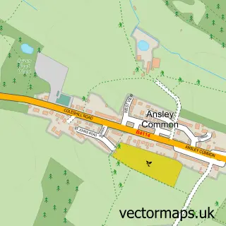
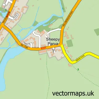
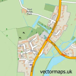
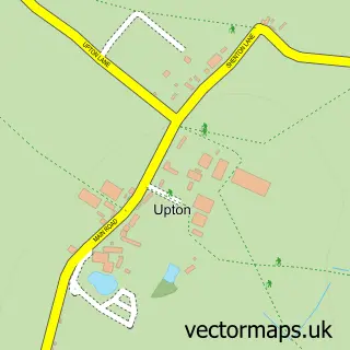
Nearby street map samples around Witherley

More street maps in Leicestershire
750 metre map area coverage
Boundary, postcode and point of interest information for the 750m x 750m rectangle centred on this sample map.
Boundaries containing map centre
Constituency: Hinckley and Bosworth Co Const
County: Leicestershire County
District: Hinckley and Bosworth District (B)
Icb: NHS Leicester Leicestershire and Rutland ICB
Parish: Witherley CP
Police Force: leicestershire
Postcode District: CV9
Postcode Sector: CV9 3
Ward: Twycross and Witherley with Sheepy Ward
Nearby boundaries intersecting sample
Constituency: North Warwickshire and Bedworth Co Const
County: Warwickshire County
District: North Warwickshire District (B)
Icb: NHS Coventry and Warwickshire ICB
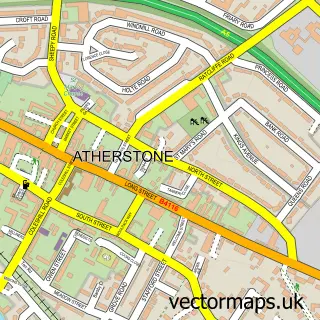
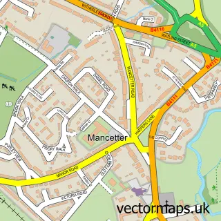
Parish: Atherstone CP, Mancetter CP
Police Force: warwickshire
Postcode Sector: CV9 1
Ward: Atherstone North Ward, Atherstone South and Mancetter Ward
Postcode coverage
POI category counts
Elementary School: 2
Professional Services: 2
Anglican Church: 1
Automotive Repair: 1
Bed And Breakfast: 1
Business Management Services: 1
Church Cathedral: 1
Gastropub: 1
Machine And Tool Rentals: 1
Park: 1
Sample points of interest
- St Peter's Witherley
- Fleet Services Midlands
- The Old House
- Heritage Matters Ltd.
- St Peter's Church
- Witherley C of E Primary School
- Witherley C.E. Primary School
- The Blue Lion
- Centurion Services
- Witherley Memorial Playing Field
- Atherstone Hunt Kennels
- Centurion Plant Hire
Create a larger editable map of Witherley
This sample shows only a 750 metre area. To create a larger map of Witherley, use our map builder to choose your own coverage area, add titles and download editable SVG, PDF and PNG files.
Create a custom map of Witherley