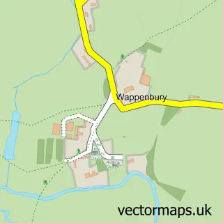
This Ryton-on-Dunsmore street map is a detailed vector street map covering a 750m x 750m area. Select a larger area to create and download your own vector street map of Ryton-on-Dunsmore.
The 750-metre map sample for Ryton-on-Dunsmore covers 214 mapped buildings and approximately 20.0 km of road detail, of which 16 named roads are named. The immediate area includes 1 school, 5 GP surgeries within 2 miles, 2 pubs and 9 MOT stations within 2 miles. The wider area around Ryton-on-Dunsmore features 3 food and drink venues and 1 hotel. To create a larger or custom map of Ryton-on-Dunsmore, the map builder lets you define your own coverage area and download editable SVG, PDF and PNG files.
Create a larger editable map of Ryton-on-Dunsmore
Choose any area you need and generate a high-quality vector map instantly. Perfect for print, planning, design, business and personal use.

This Ryton-on-Dunsmore street map in Warwickshire is available as downloadable SVG, PDF and PNG map files, or as a printed map for planning, business, display, education, local information and design work. You can also create a larger custom map area using the map selector.
What this Ryton-on-Dunsmore map sample shows
Ryton-on-Dunsmore lies within Ryton-On-Dunsmore Cp parish, part of Dunsmore ward in the Rugby District (B) local authority area. The postcode geography for this area includes the CV postcode area, the CV8 postcode district and the CV8 3 postcode sector. Residents fall under the Nhs Coventry And Warwickshire Integrated Care Board for NHS services.
Local features near Ryton-on-Dunsmore
Within 2 milesAmenities and services in and around Ryton-on-Dunsmore.
Administrative and postcode information for Ryton-on-Dunsmore
The local authority covering Ryton-on-Dunsmore is Rugby District (B), within the county of Warwickshire. The settlement lies within Dunsmore ward and Ryton-On-Dunsmore Cp civil parish. The CV8 postcode district and CV8 3 postcode sector serve the immediate area. NHS provision in the area is delivered through University Hospitals Coventry And Warwickshire Nhs Trust.
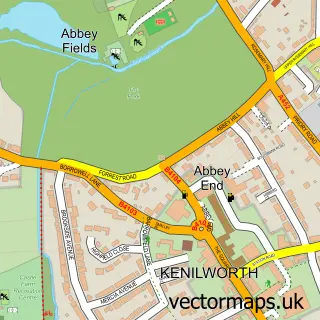
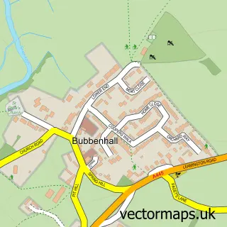
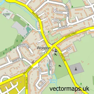
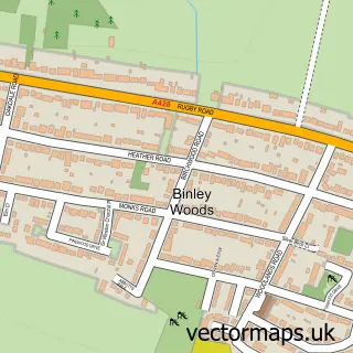
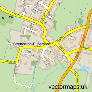
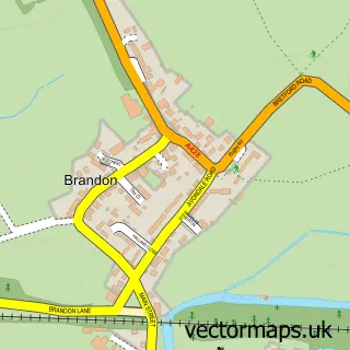
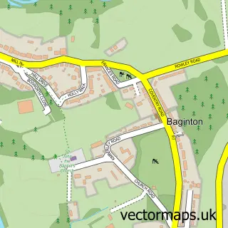
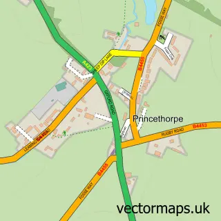
Nearby street map samples around Ryton-on-Dunsmore

More street maps in Warwickshire
750 metre map area coverage
Boundary, postcode and point of interest information for the 750m x 750m rectangle centred on this sample map.
Boundaries containing map centre
Constituency: Kenilworth and Southam Co Const
County: Warwickshire County
District: Rugby District (B)
Icb: NHS Coventry and Warwickshire ICB
Parish: Ryton-on-Dunsmore CP
Police Force: warwickshire
Postcode District: CV8
Postcode Sector: CV8 3
Ward: Dunsmore Ward
Nearby boundaries intersecting sample
No additional intersecting boundaries found.
Postcode coverage
POI category counts
Pub: 2
Anglican Church: 1
Arts And Entertainment: 1
Barber: 1
Bookkeeper: 1
Business: 1
Business Consulting: 1
Car Broker: 1
Church Cathedral: 1
Costume Store: 1
Sample points of interest
- Ryton-on-Dunsmore - St. Leonard's
- Village Hall Ryton
- Solutions
- Littlefoot Bookkeeping Services
- Ryton Conservation Trust
- T & P Database Solutions
- Vehicle Contracts Ltd.
- St Leonard's Church
- Jeanies Costume Shack
- ComputerXplorers Warwickshire
- Provost Williams C of E Primary School
- Martin Griffin
Create a larger editable map of Ryton-on-Dunsmore
This sample shows only a 750 metre area. To create a larger map of Ryton-on-Dunsmore, use our map builder to choose your own coverage area, add titles and download editable SVG, PDF and PNG files.
Create a custom map of Ryton-on-Dunsmore