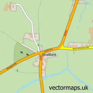
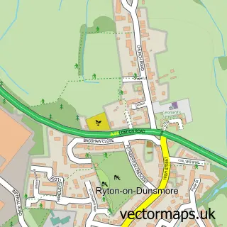
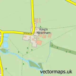
This Brandon street map is a detailed vector street map covering a 750m x 750m area. Select a larger area to create and download your own vector street map of Brandon.
The 750-metre map sample for Brandon covers 137 mapped buildings and approximately 18.0 km of road detail, of which 10 named roads are named. The immediate area includes 1 GP surgery within 2 miles, 2 pubs and 5 MOT stations within 2 miles. The wider area around Brandon features 2 food and drink venues. To create a larger or custom map of Brandon, the map builder lets you define your own coverage area and download editable SVG, PDF and PNG files.
Create a larger editable map of Brandon
Choose any area you need and generate a high-quality vector map instantly. Perfect for print, planning, design, business and personal use.

This Brandon street map in Warwickshire is available as downloadable SVG, PDF and PNG map files, or as a printed map for planning, business, display, education, local information and design work. You can also create a larger custom map area using the map selector.
What this Brandon map sample shows
Brandon lies within Brandon And Bretford Cp parish, part of Wolston And The Lawfords ward in the Rugby District (B) local authority area. The postcode geography for this area includes the CV postcode area, the CV8 postcode district and the CV8 3 postcode sector. Residents fall under the Nhs Coventry And Warwickshire Integrated Care Board for NHS services.
Local features near Brandon
Within 2 milesAmenities and services in and around Brandon.
Administrative and postcode information for Brandon
Brandon lies within Brandon And Bretford Cp parish, part of Wolston And The Lawfords ward in the Rugby District (B) local authority area. The postcode geography for this area includes the CV postcode area, the CV8 postcode district and the CV8 3 postcode sector. Residents fall under the Nhs Coventry And Warwickshire Integrated Care Board for NHS services.
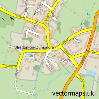
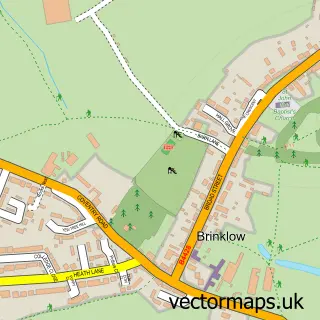
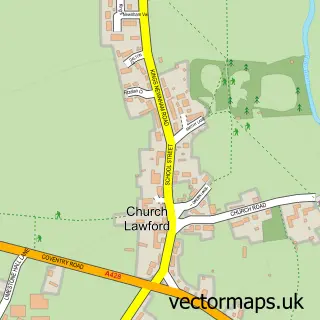
Nearby street map samples around Brandon

More street maps in Warwickshire
750 metre map area coverage
Boundary, postcode and point of interest information for the 750m x 750m rectangle centred on this sample map.
Boundaries containing map centre
Constituency: Rugby Co Const
County: Warwickshire County
District: Rugby District (B)
Icb: NHS Coventry and Warwickshire ICB
Parish: Brandon and Bretford CP
Police Force: warwickshire
Postcode District: CV8
Postcode Sector: CV8 3
Ward: Wolston and the Lawfords Ward
Nearby boundaries intersecting sample
Parish: Wolston CP
Postcode coverage
POI category counts
Pub: 2
Building Supply Store: 1
Contractor: 1
Dog Walkers: 1
Driving School: 1
Freight And Cargo Service: 1
Horseback Riding Service: 1
Hvac Services: 1
Life Coach: 1
Retail: 1
Sample points of interest
- Himalaya Tiles and Bathroom
- Progressive Pools
- Wild Wandering Paws
- Binley School of Motoring
- Godiva Rider
- Castle Hill Riding School
- R W Heating
- The Learn2 Group
- Royal Oak
- The Royal Oak
- Modern Shadow Boards
- Coventry Drain Unblocking Ltd.
Create a larger editable map of Brandon
This sample shows only a 750 metre area. To create a larger map of Brandon, use our map builder to choose your own coverage area, add titles and download editable SVG, PDF and PNG files.
Create a custom map of Brandon