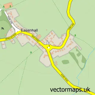
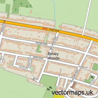
This Brinklow street map is a detailed vector street map covering a 750m x 750m area. Select a larger area to create and download your own vector street map of Brinklow.
The 750-metre map sample for Brinklow covers 225 mapped buildings and approximately 15.1 km of road detail, of which 17 named roads are named. The immediate area includes 1 GP surgery, 4 pubs and 1 MOT station within 2 miles. The wider area around Brinklow features 5 food and drink venues. To create a larger or custom map of Brinklow, the map builder lets you define your own coverage area and download editable SVG, PDF and PNG files.
Create a larger editable map of Brinklow
Choose any area you need and generate a high-quality vector map instantly. Perfect for print, planning, design, business and personal use.

This Brinklow street map in Warwickshire is available as downloadable SVG, PDF and PNG map files, or as a printed map for planning, business, display, education, local information and design work. You can also create a larger custom map area using the map selector.
What this Brinklow map sample shows
Brinklow lies within Brinklow Cp parish, part of Revel And Binley Woods ward in the Rugby District (B) local authority area. The postcode geography for this area includes the CV postcode area, the CV23 postcode district and the CV23 0 postcode sector. Residents fall under the Nhs Coventry And Warwickshire Integrated Care Board for NHS services.
Local features near Brinklow
Within 2 milesAmenities and services in and around Brinklow.
Administrative and postcode information for Brinklow
Brinklow lies within Brinklow Cp parish, part of Revel And Binley Woods ward in the Rugby District (B) local authority area. The postcode geography for this area includes the CV postcode area, the CV23 postcode district and the CV23 0 postcode sector. Residents fall under the Nhs Coventry And Warwickshire Integrated Care Board for NHS services.
Nearby street map samples around Brinklow

More street maps in Warwickshire
750 metre map area coverage
Boundary, postcode and point of interest information for the 750m x 750m rectangle centred on this sample map.
Boundaries containing map centre
Constituency: Rugby Co Const
County: Warwickshire County
District: Rugby District (B)
Icb: NHS Coventry and Warwickshire ICB
Parish: Brinklow CP
Police Force: warwickshire
Postcode District: CV23
Postcode Sector: CV23 0
Ward: Revel and Binley Woods Ward
Nearby boundaries intersecting sample
No additional intersecting boundaries found.
Postcode coverage
POI category counts
Pub: 4
Bridal Shop: 3
Doctor: 3
Fish And Chips Restaurant: 2
Paving Contractor: 2
Scout Hall: 2
Anglican Church: 1
Automotive: 1
Beauty And Spa: 1
Beauty Salon: 1
Sample points of interest
- Brinklow - St John the Baptist
- Warwickshire Horse Transport
- Salon 79
- Carole Elizabeth
- Bridal Gown Outlet Warwickshire
- The Bridal Gallery
- The Bridal Gallery
- A B C
- Pumpkins Deli
- Holy Communion Coventry
- Sister Susie's Sewing Service
- Brinklow Community Hall
Create a larger editable map of Brinklow
This sample shows only a 750 metre area. To create a larger map of Brinklow, use our map builder to choose your own coverage area, add titles and download editable SVG, PDF and PNG files.
Create a custom map of Brinklow