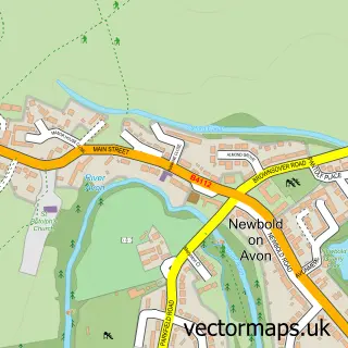
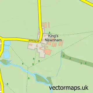
This Rugby street map is a detailed vector street map covering a 750m x 750m area. Select a larger area to create and download your own vector street map of Rugby.
The 750-metre map sample for Rugby covers 257 mapped buildings and approximately 41.9 km of road detail, of which 63 named roads are named. The immediate area includes 1 school, 3 GP surgeries, with 8 within 2 miles, 22 pubs and 2 MOT stations, with 22 within 2 miles. The wider area around Rugby features 4 tourism points of interest, 54 food and drink venues and 3 hotels. To create a larger or custom map of Rugby, the map builder lets you define your own coverage area and download editable SVG, PDF and PNG files.
Create a larger editable map of Rugby
Choose any area you need and generate a high-quality vector map instantly. Perfect for print, planning, design, business and personal use.

This Rugby street map in Warwickshire is available as downloadable SVG, PDF and PNG map files, or as a printed map for planning, business, display, education, local information and design work. You can also create a larger custom map area using the map selector.
What this Rugby map sample shows
Rugby lies within Warwickshire County parish, part of New Bilton ward in the Rugby District (B) local authority area. The postcode geography for this area includes the CV postcode area, the CV21 postcode district and the CV21 2 postcode sector. Residents fall under the Nhs Coventry And Warwickshire Integrated Care Board for NHS services.
Local features near Rugby
Within 2 milesAmenities and services in and around Rugby.
Administrative and postcode information for Rugby
Rugby lies within Warwickshire County parish, part of New Bilton ward in the Rugby District (B) local authority area. The postcode geography for this area includes the CV postcode area, the CV21 postcode district and the CV21 2 postcode sector. Residents fall under the Nhs Coventry And Warwickshire Integrated Care Board for NHS services.
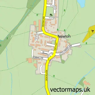
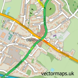
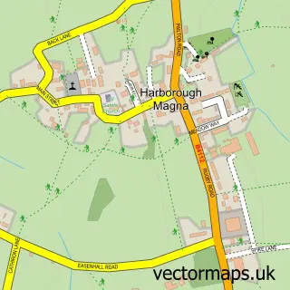
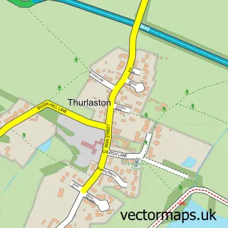
Nearby street map samples around Rugby

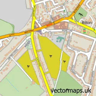
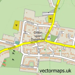
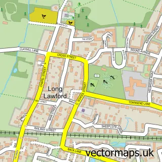
More street maps in Warwickshire
750 metre map area coverage
Boundary, postcode and point of interest information for the 750m x 750m rectangle centred on this sample map.
Boundaries containing map centre
Constituency: Rugby Co Const
County: Warwickshire County
District: Rugby District (B)
Icb: NHS Coventry and Warwickshire ICB
Police Force: warwickshire
Postcode District: CV21
Postcode Sector: CV21 3
Ward: Eastlands Ward
Nearby boundaries intersecting sample
Postcode District: CV22
Postcode Sector: CV21 2, CV22 5, CV22 6, CV22 7
Ward: Benn Ward, New Bilton Ward
Postcode coverage
POI category counts
Beauty Salon: 35
Professional Services: 23
Clothing Store: 22
Employment Agencies: 22
Pub: 22
Hair Salon: 21
Real Estate Agent: 18
Cafe: 15
Church Cathedral: 15
Jewelry Store: 15
Sample points of interest
- Cotton House
- Akhtar & Co.
- C H Ivens & Co.
- TaxAssist Accountants
- Aztatepec Municipio De Quechultenango
- Team Way Eventing
- Emma Page Acupuncture
- The Acupuncture Community Clinic
- Virtual Medicina Acupuncture
- Church Street Printers
- Oxygen Graphics
- Walk with Jesus in the midst of Gods wrath
Create a larger editable map of Rugby
This sample shows only a 750 metre area. To create a larger map of Rugby, use our map builder to choose your own coverage area, add titles and download editable SVG, PDF and PNG files.
Create a custom map of Rugby