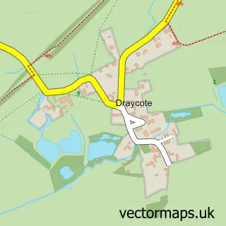
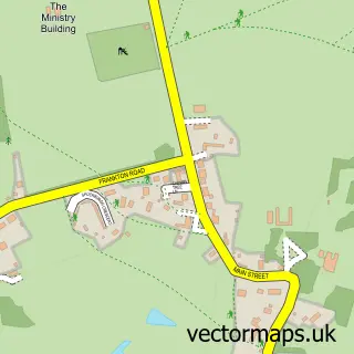
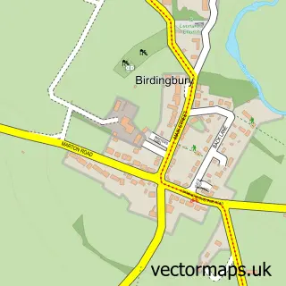
This Thurlaston street map is a detailed vector street map covering a 750m x 750m area. Select a larger area to create and download your own vector street map of Thurlaston.
The 750-metre map sample for Thurlaston covers 130 mapped buildings and approximately 25.0 km of road detail, of which 11 named roads are named. The immediate area includes 1 GP surgery within 2 miles and 2 MOT stations within 2 miles. To create a larger or custom map of Thurlaston, the map builder lets you define your own coverage area and download editable SVG, PDF and PNG files.
Create a larger editable map of Thurlaston
Choose any area you need and generate a high-quality vector map instantly. Perfect for print, planning, design, business and personal use.

This Thurlaston street map in Warwickshire is available as downloadable SVG, PDF and PNG map files, or as a printed map for planning, business, display, education, local information and design work. You can also create a larger custom map area using the map selector.
What this Thurlaston map sample shows
Thurlaston lies within Thurlaston Cp parish, part of Dunsmore ward in the Rugby District (B) local authority area. The postcode geography for this area includes the CV postcode area, the CV23 postcode district and the CV23 9 postcode sector. Residents fall under the Nhs Coventry And Warwickshire Integrated Care Board for NHS services.
Local features near Thurlaston
Within 2 milesAmenities and services in and around Thurlaston.
Administrative and postcode information for Thurlaston
The local authority covering Thurlaston is Rugby District (B), within the county of Warwickshire. The settlement lies within Dunsmore ward and Thurlaston Cp civil parish. The CV23 postcode district and CV23 9 postcode sector serve the immediate area. NHS provision in the area is delivered through University Hospitals Coventry And Warwickshire Nhs Trust.
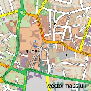
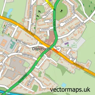
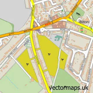
Nearby street map samples around Thurlaston

More street maps in Warwickshire
750 metre map area coverage
Boundary, postcode and point of interest information for the 750m x 750m rectangle centred on this sample map.
Boundaries containing map centre
Constituency: Kenilworth and Southam Co Const
County: Warwickshire County
District: Rugby District (B)
Icb: NHS Coventry and Warwickshire ICB
Parish: Thurlaston CP
Police Force: warwickshire
Postcode District: CV23
Postcode Sector: CV23 9
Ward: Dunsmore Ward
Nearby boundaries intersecting sample
Parish: Dunchurch CP
Postcode coverage
POI category counts
Anglican Church: 1
Antique Store: 1
Community Center: 1
Electrical Wholesaler: 1
Motorcycle Dealer: 1
Nurse Practitioner: 1
Nursing School: 1
Pest Control Service: 1
Retirement Home: 1
Wholesaler: 1
Sample points of interest
- St Edmund
- Malcolm Welch Antiques
- Thurlaston Village Hall
- HMD Electronics
- Alex Warwick Cycles
- The Warwickshire Nursing And Residential Home
- Thurlaston Meadows Care Home
- Ian Gall Pest Control
- Thurlaston Meadows Care Home
- Abacus Exports Marketing
Create a larger editable map of Thurlaston
This sample shows only a 750 metre area. To create a larger map of Thurlaston, use our map builder to choose your own coverage area, add titles and download editable SVG, PDF and PNG files.
Create a custom map of Thurlaston