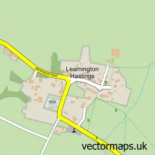
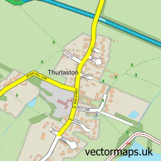
This Bourton on Dunsmore street map is a detailed vector street map covering a 750m x 750m area. Select a larger area to create and download your own vector street map of Bourton on Dunsmore.
The 750-metre map sample for Bourton on Dunsmore covers 80 mapped buildings and approximately 7.9 km of road detail, of which 5 named roads are named. The immediate area includes 1 GP surgery within 2 miles and 3 MOT stations within 2 miles. To create a larger or custom map of Bourton on Dunsmore, the map builder lets you define your own coverage area and download editable SVG, PDF and PNG files.
Create a larger editable map of Bourton on Dunsmore
Choose any area you need and generate a high-quality vector map instantly. Perfect for print, planning, design, business and personal use.

This Bourton on Dunsmore street map in Warwickshire is available as downloadable SVG, PDF and PNG map files, or as a printed map for planning, business, display, education, local information and design work. You can also create a larger custom map area using the map selector.
What this Bourton on Dunsmore map sample shows
Bourton on Dunsmore lies within Bourton And Draycote Cp parish, part of Dunsmore ward in the Rugby District (B) local authority area. The postcode geography for this area includes the CV postcode area, the CV23 postcode district and the CV23 9 postcode sector. Residents fall under the Nhs Coventry And Warwickshire Integrated Care Board for NHS services.
Local features near Bourton on Dunsmore
Within 2 milesAmenities and services in and around Bourton on Dunsmore.
Administrative and postcode information for Bourton on Dunsmore
Bourton on Dunsmore lies within Bourton And Draycote Cp parish, part of Dunsmore ward in the Rugby District (B) local authority area. The postcode geography for this area includes the CV postcode area, the CV23 postcode district and the CV23 9 postcode sector. Residents fall under the Nhs Coventry And Warwickshire Integrated Care Board for NHS services.
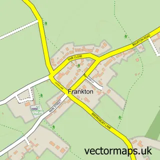
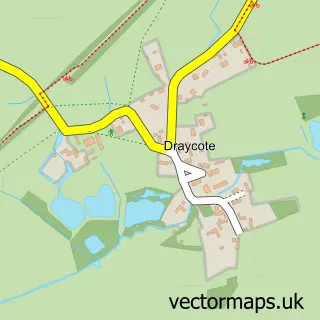
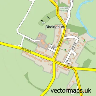
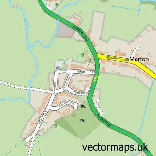
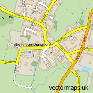
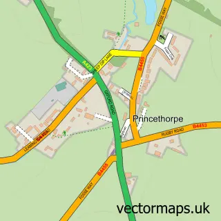
Nearby street map samples around Bourton on Dunsmore

More street maps in Warwickshire
750 metre map area coverage
Boundary, postcode and point of interest information for the 750m x 750m rectangle centred on this sample map.
Boundaries containing map centre
Constituency: Kenilworth and Southam Co Const
County: Warwickshire County
District: Rugby District (B)
Icb: NHS Coventry and Warwickshire ICB
Parish: Bourton and Draycote CP
Police Force: warwickshire
Postcode District: CV23
Postcode Sector: CV23 9
Ward: Dunsmore Ward
Nearby boundaries intersecting sample
Parish: Frankton CP
Postcode coverage
POI category counts
Auto Electrical Repair: 1
Cleaning Services: 1
Community Center: 1
Contractor: 1
Corporate Office: 1
Dance School: 1
Event Planning: 1
Kitchen Remodeling: 1
Movers: 1
Sports Club And League: 1
Sample points of interest
- Allymacg Electrical
- NGB Carpet Cleaning
- Trustees of Village Hall
- Burton Concrete Pumping and Liquid Screed
- Practical Action
- Allesley School of Dancing
- Bourton Hall
- Charles Francis Kitchens
- Shaw haul midlands ltd
- Bourton and Frankton FC Training Ground
Create a larger editable map of Bourton on Dunsmore
This sample shows only a 750 metre area. To create a larger map of Bourton on Dunsmore, use our map builder to choose your own coverage area, add titles and download editable SVG, PDF and PNG files.
Create a custom map of Bourton on Dunsmore