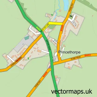
This Birdingbury street map is a detailed vector street map covering a 750m x 750m area. Select a larger area to create and download your own vector street map of Birdingbury.
The 750-metre map sample for Birdingbury covers 130 mapped buildings and approximately 19.8 km of road detail, of which 5 named roads are named. The immediate area includes 1 pub and 1 MOT station within 2 miles. The wider area around Birdingbury features 1 tourism point of interest and 1 food and drink venue. To create a larger or custom map of Birdingbury, the map builder lets you define your own coverage area and download editable SVG, PDF and PNG files.
Create a larger editable map of Birdingbury
Choose any area you need and generate a high-quality vector map instantly. Perfect for print, planning, design, business and personal use.

This Birdingbury street map in Warwickshire is available as downloadable SVG, PDF and PNG map files, or as a printed map for planning, business, display, education, local information and design work. You can also create a larger custom map area using the map selector.
What this Birdingbury map sample shows
Birdingbury lies within Birdingbury Cp parish, part of Leam Valley ward in the Rugby District (B) local authority area. The postcode geography for this area includes the CV postcode area, the CV23 postcode district and the CV23 8 postcode sector. Residents fall under the Nhs Coventry And Warwickshire Integrated Care Board for NHS services.
Local features near Birdingbury
Within 2 milesAmenities and services in and around Birdingbury.
Administrative and postcode information for Birdingbury
Birdingbury lies within Birdingbury Cp parish, part of Leam Valley ward in the Rugby District (B) local authority area. The postcode geography for this area includes the CV postcode area, the CV23 postcode district and the CV23 8 postcode sector. Residents fall under the Nhs Coventry And Warwickshire Integrated Care Board for NHS services.
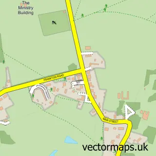
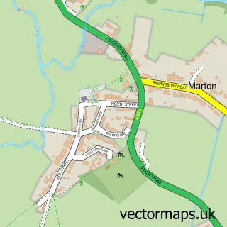
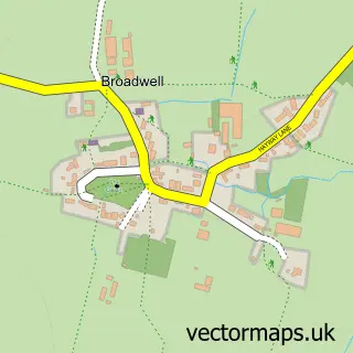
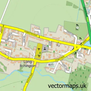
Nearby street map samples around Birdingbury

More street maps in Warwickshire
750 metre map area coverage
Boundary, postcode and point of interest information for the 750m x 750m rectangle centred on this sample map.
Boundaries containing map centre
Constituency: Kenilworth and Southam Co Const
County: Warwickshire County
District: Rugby District (B)
Icb: NHS Coventry and Warwickshire ICB
Parish: Birdingbury CP
Police Force: warwickshire
Postcode District: CV23
Postcode Sector: CV23 8
Ward: Leam Valley Ward
Nearby boundaries intersecting sample
Parish: Bourton and Draycote CP
Ward: Dunsmore Ward
Postcode coverage
POI category counts
Anglican Church: 1
Business: 1
Business Consulting: 1
Flooring Contractors: 1
Landmark And Historical Building: 1
Party Supply: 1
Pet Boarding: 1
Physical Therapy: 1
Pub: 1
Social Service Organizations: 1
Sample points of interest
- Birdingbury - St. Leonard
- Opteva
- The Recruitment Team
- Woodfloor Trade Supplies
- Birdingbury Hall
- Disco Tents
- Bluebell Boarding
- Jill Drew Physiotherapy
- The Boat Inn
- Birdingbury Village Club
- Back 2 Basics VW Show
- D T Welding Services
Create a larger editable map of Birdingbury
This sample shows only a 750 metre area. To create a larger map of Birdingbury, use our map builder to choose your own coverage area, add titles and download editable SVG, PDF and PNG files.
Create a custom map of Birdingbury