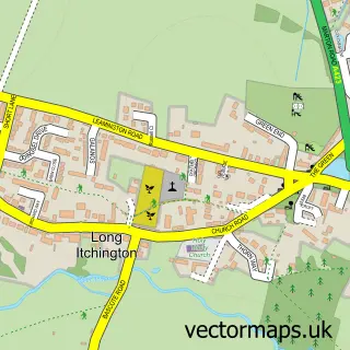
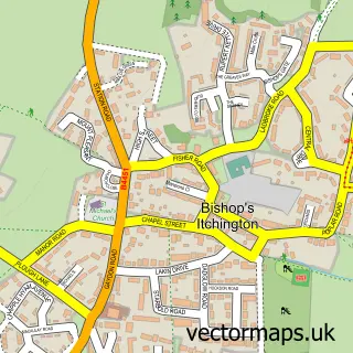
This Southam street map is a detailed vector street map covering a 750m x 750m area. Select a larger area to create and download your own vector street map of Southam.
The 750-metre map sample for Southam covers 416 mapped buildings and approximately 42.2 km of road detail, of which 48 named roads are named. The immediate area includes 2 schools, 1 GP surgery, with 2 within 2 miles, 5 pubs and 1 MOT station, with 5 within 2 miles. The wider area around Southam features 2 tourism points of interest, 15 food and drink venues and 2 hotels. To create a larger or custom map of Southam, the map builder lets you define your own coverage area and download editable SVG, PDF and PNG files.
Create a larger editable map of Southam
Choose any area you need and generate a high-quality vector map instantly. Perfect for print, planning, design, business and personal use.

This Southam street map in Warwickshire is available as downloadable SVG, PDF and PNG map files, or as a printed map for planning, business, display, education, local information and design work. You can also create a larger custom map area using the map selector.
What this Southam map sample shows
Southam lies within Southam Cp parish, part of Southam North ward in the Stratford-On-Avon District local authority area. The postcode geography for this area includes the CV postcode area, the CV47 postcode district and the CV47 0 postcode sector. Residents fall under the Nhs Coventry And Warwickshire Integrated Care Board for NHS services.
Local features near Southam
Within 2 milesAmenities and services in and around Southam.
Administrative and postcode information for Southam
Southam lies within Southam Cp parish, part of Southam North ward in the Stratford-On-Avon District local authority area. The postcode geography for this area includes the CV postcode area, the CV47 postcode district and the CV47 0 postcode sector. Residents fall under the Nhs Coventry And Warwickshire Integrated Care Board for NHS services.
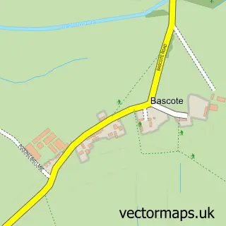
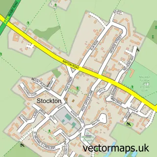
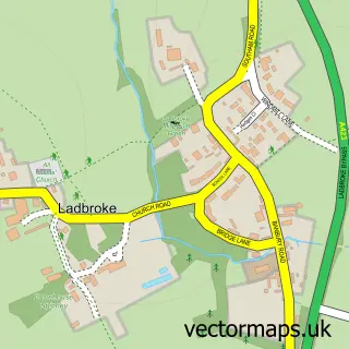
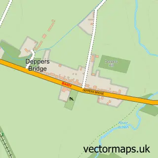
Nearby street map samples around Southam

More street maps in Warwickshire
750 metre map area coverage
Boundary, postcode and point of interest information for the 750m x 750m rectangle centred on this sample map.
Boundaries containing map centre
Constituency: Kenilworth and Southam Co Const
County: Warwickshire County
District: Stratford-on-Avon District
Icb: NHS Coventry and Warwickshire ICB
Parish: Southam CP
Police Force: warwickshire
Postcode District: CV47
Postcode Sector: CV47 0
Ward: Southam West Ward
Nearby boundaries intersecting sample
Postcode Sector: CV47 1
Ward: Southam East, Central & Stockton Ward, Southam South Ward
Postcode coverage
POI category counts
Flowers And Gifts Shop: 7
Barber: 5
Church Cathedral: 5
Pub: 5
Cafe: 4
Coffee Shop: 4
Dentist: 4
Elementary School: 4
Hair Salon: 4
Doctor: 3
Sample points of interest
- Below the Line
- Southam - St. James
- RSPCA
- APT Design Services
- Wattons Lodge
- Cashpoint® 6 High Street
- Heart of England Co-operative Southam
- AGS Vehicle Recovery
- Kwik Fit
- Spotty Dog Event Stationery
- Epic Bakes
- Southam Bakers
Create a larger editable map of Southam
This sample shows only a 750 metre area. To create a larger map of Southam, use our map builder to choose your own coverage area, add titles and download editable SVG, PDF and PNG files.
Create a custom map of Southam