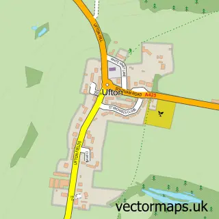
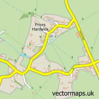
This Ladbroke street map is a detailed vector street map covering a 750m x 750m area. Select a larger area to create and download your own vector street map of Ladbroke.
The 750-metre map sample for Ladbroke covers 117 mapped buildings and approximately 17.2 km of road detail, of which 10 named roads are named. The immediate area includes 2 GP surgeries within 2 miles, 1 pub and 4 MOT stations within 2 miles. The wider area around Ladbroke features 1 tourism point of interest and 2 food and drink venues. To create a larger or custom map of Ladbroke, the map builder lets you define your own coverage area and download editable SVG, PDF and PNG files.
Create a larger editable map of Ladbroke
Choose any area you need and generate a high-quality vector map instantly. Perfect for print, planning, design, business and personal use.

This Ladbroke street map in Warwickshire is available as downloadable SVG, PDF and PNG map files, or as a printed map for planning, business, display, education, local information and design work. You can also create a larger custom map area using the map selector.
What this Ladbroke map sample shows
Ladbroke lies within Ladbroke Cp parish, part of Napton & Fenny Compton ward in the Stratford-On-Avon District local authority area. The postcode geography for this area includes the CV postcode area, the CV47 postcode district and the CV47 2 postcode sector. Residents fall under the Nhs Coventry And Warwickshire Integrated Care Board for NHS services.
Local features near Ladbroke
Within 2 milesAmenities and services in and around Ladbroke.
Administrative and postcode information for Ladbroke
The local authority covering Ladbroke is Stratford-On-Avon District, within the county of Warwickshire. The settlement lies within Napton & Fenny Compton ward and Ladbroke Cp civil parish. The CV47 postcode district and CV47 2 postcode sector serve the immediate area. NHS provision in the area is delivered through South Warwickshire University Nhs Foundation Trust.
Nearby street map samples around Ladbroke
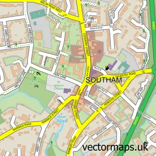

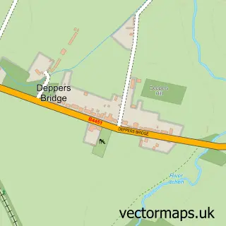
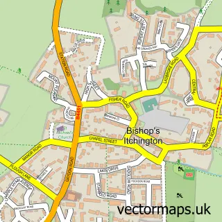
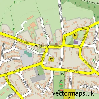
More street maps in Warwickshire
750 metre map area coverage
Boundary, postcode and point of interest information for the 750m x 750m rectangle centred on this sample map.
Boundaries containing map centre
Constituency: Kenilworth and Southam Co Const
County: Warwickshire County
District: Stratford-on-Avon District
Icb: NHS Coventry and Warwickshire ICB
Parish: Ladbroke CP
Police Force: warwickshire
Postcode District: CV47
Postcode Sector: CV47 2
Ward: Harbury Ward
Nearby boundaries intersecting sample
No additional intersecting boundaries found.
Postcode coverage
POI category counts
Gardener: 2
Anglican Church: 1
Auto Body Shop: 1
Boat Dealer: 1
Church Cathedral: 1
Coffee Shop: 1
Land Surveying: 1
Landmark And Historical Building: 1
Photographer: 1
Pub: 1
Sample points of interest
- Ladbroke - All Saints
- Custom & Bodywork Services
- Bluewater Boats Limited
- Ladbroke Heritage
- Costa Express
- NDK Garden Design
- The Perfect Lawn
- Allcott Associates LLP
- Ladbroke Hall
- Prestige Photography by Russell Griffith
- The Bell Inn
Create a larger editable map of Ladbroke
This sample shows only a 750 metre area. To create a larger map of Ladbroke, use our map builder to choose your own coverage area, add titles and download editable SVG, PDF and PNG files.
Create a custom map of Ladbroke