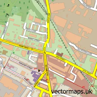
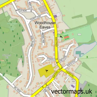
This Markfield street map is a detailed vector street map covering a 750m x 750m area. Select a larger area to create and download your own vector street map of Markfield.
The 750-metre map sample for Markfield covers 585 mapped buildings and approximately 25.7 km of road detail, of which 38 named roads are named. The immediate area includes 1 GP surgery and 1 MOT station within 2 miles. The wider area around Markfield features 1 tourism point of interest and 2 food and drink venues. To create a larger or custom map of Markfield, the map builder lets you define your own coverage area and download editable SVG, PDF and PNG files.
Create a larger editable map of Markfield
Choose any area you need and generate a high-quality vector map instantly. Perfect for print, planning, design, business and personal use.

This Markfield street map in Leicestershire is available as downloadable SVG, PDF and PNG map files, or as a printed map for planning, business, display, education, local information and design work. You can also create a larger custom map area using the map selector.
What this Markfield map sample shows
Markfield lies within Newtown Linford Cp parish, part of Forest Bradgate ward in the Charnwood District (B) local authority area. The postcode geography for this area includes the LE postcode area, the LE67 postcode district and the LE67 9 postcode sector. Residents fall under the Nhs Leicester, Leicestershire And Rutland Integrated Care Board for NHS services.
Local features near Markfield
Within 2 milesAmenities and services in and around Markfield.
Administrative and postcode information for Markfield
Markfield lies within Newtown Linford Cp parish, part of Forest Bradgate ward in the Charnwood District (B) local authority area. The postcode geography for this area includes the LE postcode area, the LE67 postcode district and the LE67 9 postcode sector. Residents fall under the Nhs Leicester, Leicestershire And Rutland Integrated Care Board for NHS services.
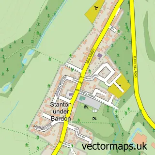
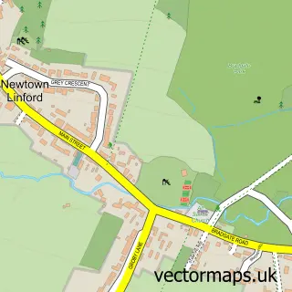
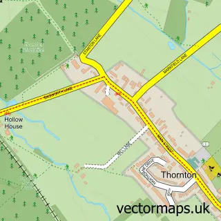
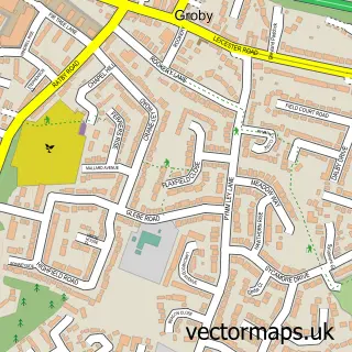
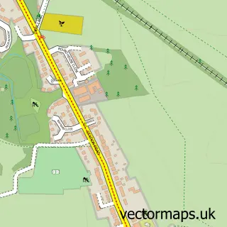
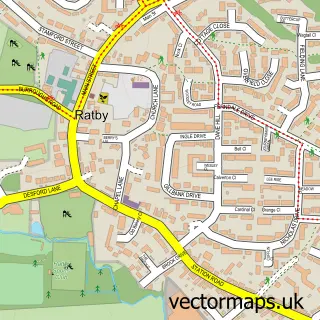
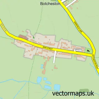
Nearby street map samples around Markfield

More street maps in Leicestershire
750 metre map area coverage
Boundary, postcode and point of interest information for the 750m x 750m rectangle centred on this sample map.
Boundaries containing map centre
Constituency: Mid Leicestershire Co Const
County: Leicestershire County
District: Hinckley and Bosworth District (B)
Icb: NHS Leicester Leicestershire and Rutland ICB
Parish: Markfield CP
Police Force: leicestershire
Postcode District: LE67
Postcode Sector: LE67 9
Ward: Markfield, Stanton and Fieldhead Ward
Nearby boundaries intersecting sample
District: Charnwood District (B)
Parish: Newtown Linford CP
Ward: Forest Bradgate Ward
Postcode coverage
POI category counts
Beauty Salon: 3
Professional Services: 3
Barber: 2
Business Consulting: 2
Church Cathedral: 2
Community Services Non Profits: 2
Indian Restaurant: 2
Shipping Center: 2
Appliance Store: 1
Asian Restaurant: 1
Sample points of interest
- Booth Appliances
- Balti Number One
- ATM (Post Office)
- Brewsters Cafe & Bakery
- The Red Lion
- Crazy Razor Traditional Turkish Barbershop
- Shortys Barbers
- S.Louise Beauty x
- Bradgate Beauty
- Seasons Beauty Day Spa
- The Retreat Beauty Salon
- Elegantly Matched Leicester
Create a larger editable map of Markfield
This sample shows only a 750 metre area. To create a larger map of Markfield, use our map builder to choose your own coverage area, add titles and download editable SVG, PDF and PNG files.
Create a custom map of Markfield