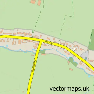
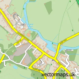
This Thurcaston street map is a detailed vector street map covering a 750m x 750m area. Select a larger area to create and download your own vector street map of Thurcaston.
The 750-metre map sample for Thurcaston covers 216 mapped buildings and approximately 11.0 km of road detail, of which 11 named roads are named. The immediate area includes 1 school, 2 GP surgeries within 2 miles, 2 pubs and 6 MOT stations within 2 miles. The wider area around Thurcaston features 1 tourism point of interest and 2 food and drink venues. To create a larger or custom map of Thurcaston, the map builder lets you define your own coverage area and download editable SVG, PDF and PNG files.
Create a larger editable map of Thurcaston
Choose any area you need and generate a high-quality vector map instantly. Perfect for print, planning, design, business and personal use.

This Thurcaston street map in Leicestershire is available as downloadable SVG, PDF and PNG map files, or as a printed map for planning, business, display, education, local information and design work. You can also create a larger custom map area using the map selector.
What this Thurcaston map sample shows
Thurcaston lies within Thurcaston And Cropston Cp parish, part of Rothley And Thurcaston ward in the Charnwood District (B) local authority area. The postcode geography for this area includes the LE postcode area, the LE7 postcode district and the LE7 7 postcode sector. Residents fall under the Nhs Leicester, Leicestershire And Rutland Integrated Care Board for NHS services.
Local features near Thurcaston
Within 2 milesAmenities and services in and around Thurcaston.
Administrative and postcode information for Thurcaston
The local authority covering Thurcaston is Charnwood District (B), within the county of Leicestershire. The settlement lies within Rothley And Thurcaston ward and Thurcaston And Cropston Cp civil parish. The LE7 postcode district and LE7 7 postcode sector serve the immediate area. NHS provision in the area is delivered through University Hospitals Of Leicester Nhs Trust.
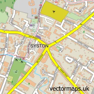
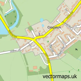
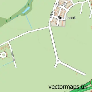
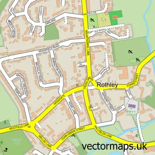
Nearby street map samples around Thurcaston

More street maps in Leicestershire
750 metre map area coverage
Boundary, postcode and point of interest information for the 750m x 750m rectangle centred on this sample map.
Boundaries containing map centre
Constituency: Mid Leicestershire Co Const
County: Leicestershire County
District: Charnwood District (B)
Icb: NHS Leicester Leicestershire and Rutland ICB
Parish: Thurcaston and Cropston CP
Police Force: leicestershire
Postcode District: LE7
Postcode Sector: LE7 7
Ward: Rothley Brook Ward
Nearby boundaries intersecting sample
Constituency: Leicester West Boro Const
District: City of Leicester (B)
Postcode District: LE4
Postcode Sector: LE4 2
Ward: Beaumont Leys Ward
Postcode coverage
POI category counts
Pub: 2
Art Gallery: 1
Assisted Living Facility: 1
Attractions And Activities: 1
Dance School: 1
Disability Services And Support Organization: 1
Education: 1
Electrician: 1
Elementary School: 1
Garage Door Service: 1
Sample points of interest
- Art by Meg
- Croft House
- Thurcaston Village
- The Dance Academy
- Croft House Voyage Care
- The Business School UK
- PLES Electrical
- Richard Hill Church of England Primary School
- Rutland Garage Doors
- Oliver's Garden Services
- RJD Air Conditioning Services
- Geoff Labbett Painter & Decorator
Create a larger editable map of Thurcaston
This sample shows only a 750 metre area. To create a larger map of Thurcaston, use our map builder to choose your own coverage area, add titles and download editable SVG, PDF and PNG files.
Create a custom map of Thurcaston