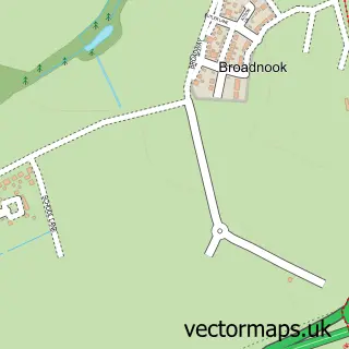
This Wanlip street map is a detailed vector street map covering a 750m x 750m area. Select a larger area to create and download your own vector street map of Wanlip.
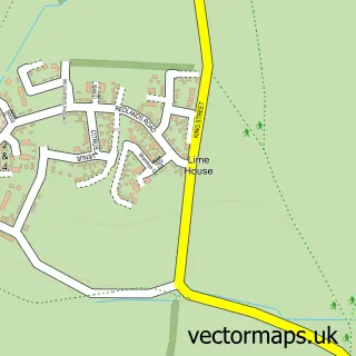
The 750-metre map sample for Wanlip covers 70 mapped buildings and approximately 11.3 km of road detail, of which 5 named roads are named. The immediate area includes 6 GP surgeries within 2 miles and 9 MOT stations within 2 miles. The wider area around Wanlip features 1 tourism point of interest. To create a larger or custom map of Wanlip, the map builder lets you define your own coverage area and download editable SVG, PDF and PNG files.
Create a larger editable map of Wanlip
Choose any area you need and generate a high-quality vector map instantly. Perfect for print, planning, design, business and personal use.

This Wanlip street map in Leicestershire is available as downloadable SVG, PDF and PNG map files, or as a printed map for planning, business, display, education, local information and design work. You can also create a larger custom map area using the map selector.
What this Wanlip map sample shows
Wanlip lies within Wanlip Cp parish, part of Birstall Wanlip ward in the Charnwood District (B) local authority area. The postcode geography for this area includes the LE postcode area, the LE7 postcode district and the LE7 4 postcode sector. Residents fall under the Nhs Leicester, Leicestershire And Rutland Integrated Care Board for NHS services.
Local features near Wanlip
Within 2 milesAmenities and services in and around Wanlip.
Administrative and postcode information for Wanlip
Wanlip lies within Wanlip Cp parish, part of Birstall Wanlip ward in the Charnwood District (B) local authority area. The postcode geography for this area includes the LE postcode area, the LE7 postcode district and the LE7 4 postcode sector. Residents fall under the Nhs Leicester, Leicestershire And Rutland Integrated Care Board for NHS services.
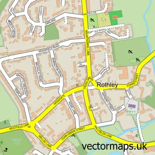
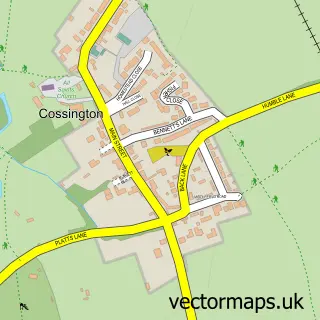
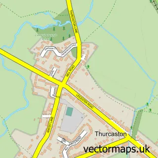
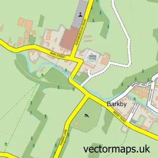
Nearby street map samples around Wanlip
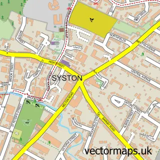

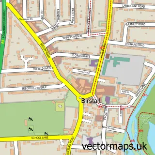
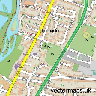
More street maps in Leicestershire
750 metre map area coverage
Boundary, postcode and point of interest information for the 750m x 750m rectangle centred on this sample map.
Boundaries containing map centre
Constituency: Mid Leicestershire Co Const
County: Leicestershire County
District: Charnwood District (B)
Icb: NHS Leicester Leicestershire and Rutland ICB
Parish: Wanlip CP
Police Force: leicestershire
Postcode District: LE7
Postcode Sector: LE7 4
Ward: Birstall East & Wanlip Ward
Nearby boundaries intersecting sample
Constituency: Melton and Syston Co Const
Parish: Syston CP, Thurmaston CP
Postcode District: LE4
Postcode Sector: LE4 4, LE4 8, LE7 1
Ward: Rothley Brook Ward, Syston Ward, Thurmaston Ward
Postcode coverage
POI category counts
Anglican Church: 2
Accountant: 1
Aquarium: 1
Aquatic Pet Store: 1
Bed And Breakfast: 1
Construction Services: 1
Contractor: 1
Fishing Club: 1
Landmark And Historical Building: 1
Party Equipment Rental: 1
Sample points of interest
- Bradley & Co.
- Church of Our Lady and St Nicholas
- Our Lady & St Nicholas
- Queni Koi
- Queni Koi
- Microdot House Bed and Breakfast
- Mezz9.com
- Tile Style Flooring
- Willows Farm Fishing
- Wanlip Hall
- NHP Events
Create a larger editable map of Wanlip
This sample shows only a 750 metre area. To create a larger map of Wanlip, use our map builder to choose your own coverage area, add titles and download editable SVG, PDF and PNG files.
Create a custom map of Wanlip