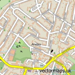
This Swithland street map is a detailed vector street map covering a 750m x 750m area. Select a larger area to create and download your own vector street map of Swithland.
The 750-metre map sample for Swithland covers 88 mapped buildings and approximately 5.9 km of road detail, of which 2 named roads are named. The immediate area includes 1 school, 1 GP surgery within 2 miles, 1 pub and 2 MOT stations within 2 miles. The wider area around Swithland features 1 food and drink venue. To create a larger or custom map of Swithland, the map builder lets you define your own coverage area and download editable SVG, PDF and PNG files.
Create a larger editable map of Swithland
Choose any area you need and generate a high-quality vector map instantly. Perfect for print, planning, design, business and personal use.

This Swithland street map in Leicestershire is available as downloadable SVG, PDF and PNG map files, or as a printed map for planning, business, display, education, local information and design work. You can also create a larger custom map area using the map selector.
What this Swithland map sample shows
Swithland lies within Swithland Cp parish, part of Rothley And Thurcaston ward in the Charnwood District (B) local authority area. The postcode geography for this area includes the LE postcode area, the LE12 postcode district and the LE12 8 postcode sector. Residents fall under the Nhs Leicester, Leicestershire And Rutland Integrated Care Board for NHS services.
Local features near Swithland
Within 2 milesAmenities and services in and around Swithland.
Administrative and postcode information for Swithland
The local authority covering Swithland is Charnwood District (B), within the county of Leicestershire. The settlement lies within Rothley And Thurcaston ward and Swithland Cp civil parish. The LE12 postcode district and LE12 8 postcode sector serve the immediate area. NHS provision in the area is delivered through University Hospitals Of Leicester Nhs Trust.
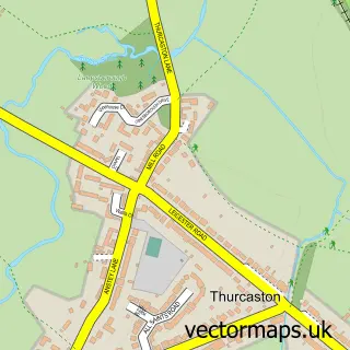
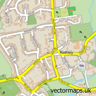
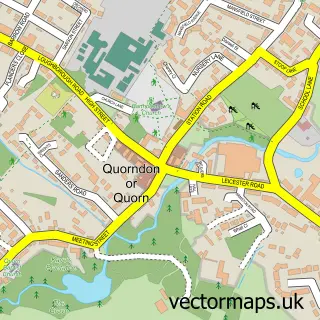
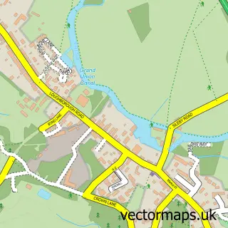
Nearby street map samples around Swithland

More street maps in Leicestershire
750 metre map area coverage
Boundary, postcode and point of interest information for the 750m x 750m rectangle centred on this sample map.
Boundaries containing map centre
Constituency: Mid Leicestershire Co Const
County: Leicestershire County
District: Charnwood District (B)
Icb: NHS Leicester Leicestershire and Rutland ICB
Parish: Swithland CP
Police Force: leicestershire
Postcode District: LE12
Postcode Sector: LE12 8
Ward: Rothley Brook Ward
Nearby boundaries intersecting sample
No additional intersecting boundaries found.
Postcode coverage
POI category counts
Elementary School: 1
Elevator Service: 1
Engineering Services: 1
Event Planning: 1
Pub: 1
Roofing: 1
Water Supplier: 1
Sample points of interest
- Swithland St Leonard's Church of England Primary School
- Simpson Lift Services
- Kevan Design Production
- The Old Stables
- The Griffin Inn
- Swithland Estates
- Swithland Spring Water
Create a larger editable map of Swithland
This sample shows only a 750 metre area. To create a larger map of Swithland, use our map builder to choose your own coverage area, add titles and download editable SVG, PDF and PNG files.
Create a custom map of Swithland