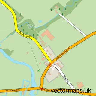
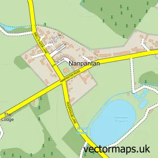
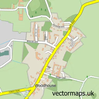
This Loughborough street map is a detailed vector street map covering a 750m x 750m area. Select a larger area to create and download your own vector street map of Loughborough.
The 750-metre map sample for Loughborough covers 260 mapped buildings and approximately 34.5 km of road detail, of which 61 named roads are named. The immediate area includes 2 schools, 3 GP surgeries, with 7 within 2 miles, 22 pubs and 3 MOT stations, with 27 within 2 miles. The wider area around Loughborough features 13 tourism points of interest, 73 food and drink venues and 7 hotels. To create a larger or custom map of Loughborough, the map builder lets you define your own coverage area and download editable SVG, PDF and PNG files.
Create a larger editable map of Loughborough
Choose any area you need and generate a high-quality vector map instantly. Perfect for print, planning, design, business and personal use.

This Loughborough street map in Leicestershire is available as downloadable SVG, PDF and PNG map files, or as a printed map for planning, business, display, education, local information and design work. You can also create a larger custom map area using the map selector.
What this Loughborough map sample shows
Loughborough lies within Leicestershire County parish, part of Loughborough Lemyngton ward in the Charnwood District (B) local authority area. The postcode geography for this area includes the LE postcode area, the LE11 postcode district and the LE11 5 postcode sector. Residents fall under the Nhs Leicester, Leicestershire And Rutland Integrated Care Board for NHS services.
Local features near Loughborough
Within 2 milesAmenities and services in and around Loughborough.
Administrative and postcode information for Loughborough
The local authority covering Loughborough is Charnwood District (B), within the county of Leicestershire. The settlement lies within Loughborough Lemyngton ward and Leicestershire County civil parish. The LE11 postcode district and LE11 5 postcode sector serve the immediate area. NHS provision in the area is delivered through University Hospitals Of Leicester Nhs Trust.
Nearby street map samples around Loughborough

More street maps in Leicestershire
750 metre map area coverage
Boundary, postcode and point of interest information for the 750m x 750m rectangle centred on this sample map.
Boundaries containing map centre
Constituency: Loughborough Co Const
County: Leicestershire County
District: Charnwood District (B)
Icb: NHS Leicester Leicestershire and Rutland ICB
Police Force: leicestershire
Postcode District: LE11
Postcode Sector: LE11 5
Ward: Loughborough Southfields Ward
Nearby boundaries intersecting sample
Postcode Sector: LE11 1, LE11 2, LE11 3
Ward: Loughborough East Ward, Loughborough Storer Ward
Postcode coverage
POI category counts
Hair Salon: 34
Clothing Store: 31
Beauty Salon: 27
Pub: 22
Cafe: 19
Fast Food Restaurant: 19
Real Estate Agent: 19
Tattoo And Piercing: 18
Gym: 17
Restaurant: 17
Sample points of interest
- Penny Crayon Custom Clothing
- Asha House Loughborough
- Carillion Tower
- Luxurio
- The Print House
- Urban Student Life - The Print House
- Chesterton House Accounting Services
- John F Mould & Co.
- NCAT Solutions Ltd.
- China Health Care
- Good Health TCM L'boro
- Loughborough Acupuncture
Create a larger editable map of Loughborough
This sample shows only a 750 metre area. To create a larger map of Loughborough, use our map builder to choose your own coverage area, add titles and download editable SVG, PDF and PNG files.
Create a custom map of Loughborough