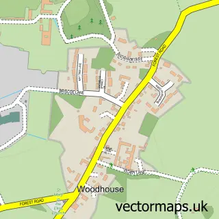
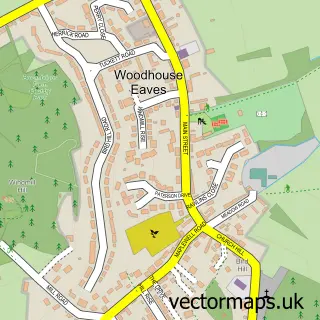
This Woodthorpe street map is a detailed vector street map covering a 750m x 750m area. Select a larger area to create and download your own vector street map of Woodthorpe.
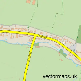
The 750-metre map sample for Woodthorpe covers 183 mapped buildings and approximately 15.5 km of road detail, of which 14 named roads are named. The immediate area includes 9 GP surgeries within 2 miles and 17 MOT stations within 2 miles. The wider area around Woodthorpe features 3 food and drink venues. To create a larger or custom map of Woodthorpe, the map builder lets you define your own coverage area and download editable SVG, PDF and PNG files.
Create a larger editable map of Woodthorpe
Choose any area you need and generate a high-quality vector map instantly. Perfect for print, planning, design, business and personal use.

This Woodthorpe street map in Leicestershire is available as downloadable SVG, PDF and PNG map files, or as a printed map for planning, business, display, education, local information and design work. You can also create a larger custom map area using the map selector.
What this Woodthorpe map sample shows
Woodthorpe lies within Leicestershire County parish, part of Loughborough Shelthorpe ward in the Charnwood District (B) local authority area. The postcode geography for this area includes the LE postcode area, the LE11 postcode district and the LE11 2 postcode sector. Residents fall under the Nhs Leicester, Leicestershire And Rutland Integrated Care Board for NHS services.
Local features near Woodthorpe
Within 2 milesAmenities and services in and around Woodthorpe.
Administrative and postcode information for Woodthorpe
Woodthorpe lies within Leicestershire County parish, part of Loughborough Shelthorpe ward in the Charnwood District (B) local authority area. The postcode geography for this area includes the LE postcode area, the LE11 postcode district and the LE11 2 postcode sector. Residents fall under the Nhs Leicester, Leicestershire And Rutland Integrated Care Board for NHS services.
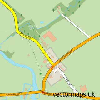
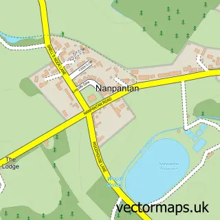
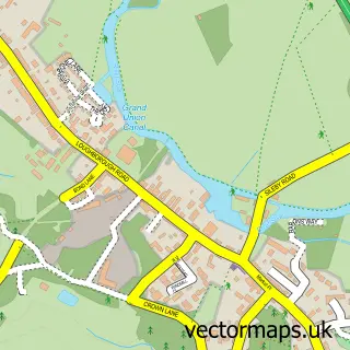
Nearby street map samples around Woodthorpe
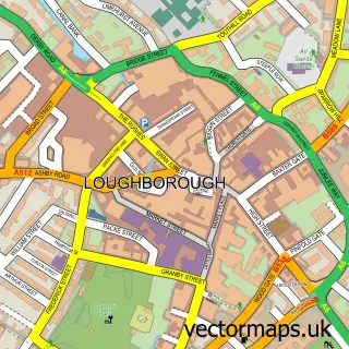

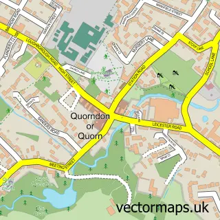
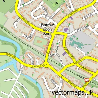
More street maps in Leicestershire
750 metre map area coverage
Boundary, postcode and point of interest information for the 750m x 750m rectangle centred on this sample map.
Boundaries containing map centre
Constituency: Loughborough Co Const
County: Leicestershire County
District: Charnwood District (B)
Icb: NHS Leicester Leicestershire and Rutland ICB
Police Force: leicestershire
Postcode District: LE12
Postcode Sector: LE12 8
Ward: Loughborough Woodthorpe Ward
Nearby boundaries intersecting sample
Parish: Quorn CP
Postcode District: LE11
Postcode Sector: LE11 2
Ward: Loughborough Outwoods & Shelthorpe Ward, Quorn & Mountsorrel Castle Ward
Postcode coverage
POI category counts
Coffee Shop: 3
Assisted Living Facility: 1
Bakery: 1
Dentist: 1
Employment Agencies: 1
Fountain: 1
Holding Companies: 1
Home Cleaning: 1
Landscaping: 1
Massage Therapy: 1
Sample points of interest
- Woodthorpe Lodge Care Home
- Greggs
- Costa Coffee
- Costa Coffee
- Loughborough DT
- The Dentalist
- Employment Relations Services
- Woodthorpe
- Farrars
- Matts Bin Cleaning Services
- Hortus Landscape and Construction
- Angel Wings Holistic Retreat
Create a larger editable map of Woodthorpe
This sample shows only a 750 metre area. To create a larger map of Woodthorpe, use our map builder to choose your own coverage area, add titles and download editable SVG, PDF and PNG files.
Create a custom map of Woodthorpe