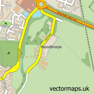
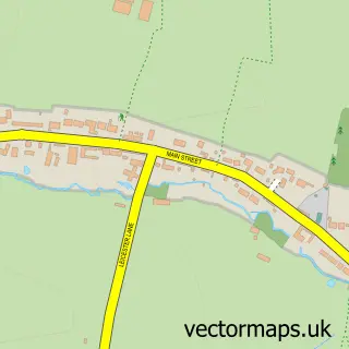
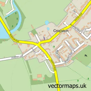
This Woodhouse street map is a detailed vector street map covering a 750m x 750m area. Select a larger area to create and download your own vector street map of Woodhouse.
The 750-metre map sample for Woodhouse covers 119 mapped buildings and approximately 15.7 km of road detail, of which 10 named roads are named. The immediate area includes 2 GP surgeries within 2 miles and 1 MOT station within 2 miles. The wider area around Woodhouse features 1 tourism point of interest. To create a larger or custom map of Woodhouse, the map builder lets you define your own coverage area and download editable SVG, PDF and PNG files.
Create a larger editable map of Woodhouse
Choose any area you need and generate a high-quality vector map instantly. Perfect for print, planning, design, business and personal use.

This Woodhouse street map in Leicestershire is available as downloadable SVG, PDF and PNG map files, or as a printed map for planning, business, display, education, local information and design work. You can also create a larger custom map area using the map selector.
What this Woodhouse map sample shows
Woodhouse lies within Woodhouse Cp parish, part of Forest Bradgate ward in the Charnwood District (B) local authority area. The postcode geography for this area includes the LE postcode area, the LE12 postcode district and the LE12 8 postcode sector. Residents fall under the Nhs Leicester, Leicestershire And Rutland Integrated Care Board for NHS services.
Local features near Woodhouse
Within 2 milesAmenities and services in and around Woodhouse.
Administrative and postcode information for Woodhouse
Woodhouse lies within Woodhouse Cp parish, part of Forest Bradgate ward in the Charnwood District (B) local authority area. The postcode geography for this area includes the LE postcode area, the LE12 postcode district and the LE12 8 postcode sector. Residents fall under the Nhs Leicester, Leicestershire And Rutland Integrated Care Board for NHS services.
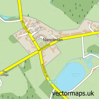
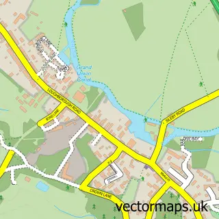
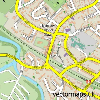
Nearby street map samples around Woodhouse

More street maps in Leicestershire
750 metre map area coverage
Boundary, postcode and point of interest information for the 750m x 750m rectangle centred on this sample map.
Boundaries containing map centre
Constituency: Mid Leicestershire Co Const
County: Leicestershire County
District: Charnwood District (B)
Icb: NHS Leicester Leicestershire and Rutland ICB
Parish: Woodhouse CP
Police Force: leicestershire
Postcode District: LE12
Postcode Sector: LE12 8
Ward: Forest Bradgate Ward
Nearby boundaries intersecting sample
No additional intersecting boundaries found.
Postcode coverage
POI category counts
Acupuncture: 1
Advertising Agency: 1
Anglican Church: 1
Assisted Living Facility: 1
Beauty Salon: 1
Church Cathedral: 1
Event Planning: 1
Fitness Trainer: 1
History Museum: 1
Hvac Services: 1
Sample points of interest
- Physio in the Forest
- Top Dog Advertising
- Old Woodhouse: St Mary-in-the-Elms
- Lonsdale Mews Care Home - Care UK
- Golden cottage skin clinic
- St Mary-in-the-Elms
- Beaumanor Hall
- B-Buddies
- Beaumanor Hall
- Link Mechanical & Electrical Services
- Xtreme
- Beaumanor Hall Activity Centre
Create a larger editable map of Woodhouse
This sample shows only a 750 metre area. To create a larger map of Woodhouse, use our map builder to choose your own coverage area, add titles and download editable SVG, PDF and PNG files.
Create a custom map of Woodhouse