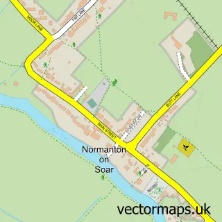
This Stanford on Soar street map is a detailed vector street map covering a 750m x 750m area. Select a larger area to create and download your own vector street map of Stanford on Soar.
The 750-metre map sample for Stanford on Soar covers 52 mapped buildings and approximately 14.2 km of road detail, of which 6 named roads are named. The immediate area includes 5 GP surgeries within 2 miles and 27 MOT stations within 2 miles. To create a larger or custom map of Stanford on Soar, the map builder lets you define your own coverage area and download editable SVG, PDF and PNG files.
Create a larger editable map of Stanford on Soar
Choose any area you need and generate a high-quality vector map instantly. Perfect for print, planning, design, business and personal use.

This Stanford on Soar street map in Nottinghamshire is available as downloadable SVG, PDF and PNG map files, or as a printed map for planning, business, display, education, local information and design work. You can also create a larger custom map area using the map selector.
What this Stanford on Soar map sample shows
Stanford on Soar lies within Stanford On Soar Cp parish, part of Leake ward in the Rushcliffe District (B) local authority area. The postcode geography for this area includes the LE postcode area, the LE12 postcode district and the LE12 5 postcode sector. Residents fall under the Nhs Nottingham And Nottinghamshire Integrated Care Board for NHS services.
Local features near Stanford on Soar
Within 2 milesAmenities and services in and around Stanford on Soar.
Administrative and postcode information for Stanford on Soar
Stanford on Soar lies within Stanford On Soar Cp parish, part of Leake ward in the Rushcliffe District (B) local authority area. The postcode geography for this area includes the LE postcode area, the LE12 postcode district and the LE12 5 postcode sector. Residents fall under the Nhs Nottingham And Nottinghamshire Integrated Care Board for NHS services.
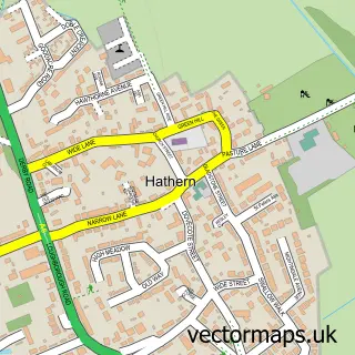
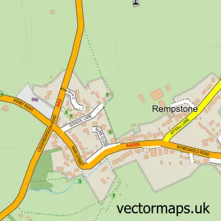
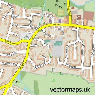
Nearby street map samples around Stanford on Soar

More street maps in Nottinghamshire
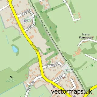
750 metre map area coverage
Boundary, postcode and point of interest information for the 750m x 750m rectangle centred on this sample map.
Boundaries containing map centre
Constituency: Rushcliffe Co Const
County: Nottinghamshire County
District: Rushcliffe District (B)
Icb: NHS Nottingham and Nottinghamshire ICB
Parish: Stanford on Soar CP
Police Force: nottinghamshire
Postcode District: LE12
Postcode Sector: LE12 5
Ward: Soar Valley Ward
Nearby boundaries intersecting sample
Constituency: Loughborough Co Const
County: Leicestershire County
District: Charnwood District (B)
Icb: NHS Leicester Leicestershire and Rutland ICB
Parish: Cotes CP
Police Force: leicestershire
Postcode District: LE11
Postcode Sector: LE11 1
Ward: Loughborough East Ward, The Wolds Ward
Postcode coverage
POI category counts
Professional Services: 2
Church Cathedral: 1
Information Technology Company: 1
Printing Services: 1
Sample points of interest
- St John the Baptist Church
- Active Solutions
- Norton House Stanford Hall
- Foxhill Publishing
- MRT C
Create a larger editable map of Stanford on Soar
This sample shows only a 750 metre area. To create a larger map of Stanford on Soar, use our map builder to choose your own coverage area, add titles and download editable SVG, PDF and PNG files.
Create a custom map of Stanford on Soar