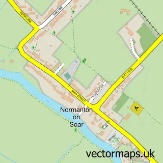
This East Leake street map is a detailed vector street map covering a 750m x 750m area. Select a larger area to create and download your own vector street map of East Leake.
The 750-metre map sample for East Leake covers 436 mapped buildings and approximately 20.6 km of road detail, of which 33 named roads are named. The immediate area includes 1 school, 1 GP surgery within 2 miles, 5 pubs and 1 MOT station, with 2 within 2 miles. The wider area around East Leake features 2 tourism points of interest, 11 food and drink venues and 1 hotel. To create a larger or custom map of East Leake, the map builder lets you define your own coverage area and download editable SVG, PDF and PNG files.
Create a larger editable map of East Leake
Choose any area you need and generate a high-quality vector map instantly. Perfect for print, planning, design, business and personal use.

This East Leake street map in Nottinghamshire is available as downloadable SVG, PDF and PNG map files, or as a printed map for planning, business, display, education, local information and design work. You can also create a larger custom map area using the map selector.
What this East Leake map sample shows
East Leake lies within East Leake Cp parish, part of Leake ward in the Rushcliffe District (B) local authority area. The postcode geography for this area includes the LE postcode area, the LE12 postcode district and the LE12 6 postcode sector. Residents fall under the Nhs Nottingham And Nottinghamshire Integrated Care Board for NHS services.
Local features near East Leake
Within 2 milesAmenities and services in and around East Leake.
Administrative and postcode information for East Leake
The local authority covering East Leake is Rushcliffe District (B), within the county of Nottinghamshire. The settlement lies within Leake ward and East Leake Cp civil parish. The LE12 postcode district and LE12 6 postcode sector serve the immediate area. NHS provision in the area is delivered through Nottingham University Hospitals Nhs Trust.
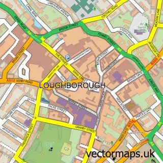
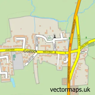
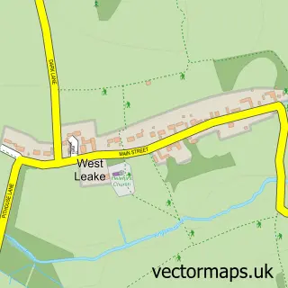
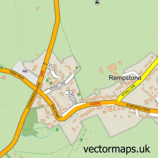
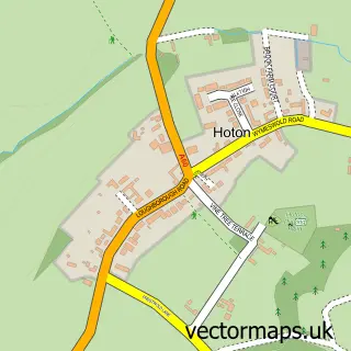
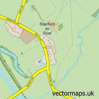
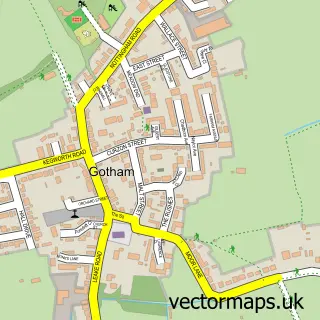
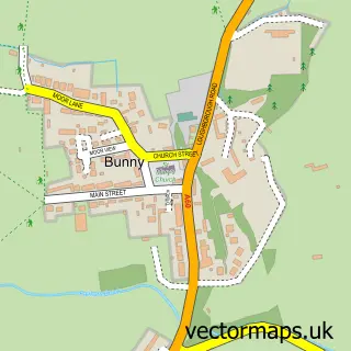
Nearby street map samples around East Leake

More street maps in Nottinghamshire
750 metre map area coverage
Boundary, postcode and point of interest information for the 750m x 750m rectangle centred on this sample map.
Boundaries containing map centre
Constituency: Rushcliffe Co Const
County: Nottinghamshire County
District: Rushcliffe District (B)
Icb: NHS Nottingham and Nottinghamshire ICB
Parish: East Leake CP
Police Force: nottinghamshire
Postcode District: LE12
Postcode Sector: LE12 6
Ward: Leake Ward
Nearby boundaries intersecting sample
No additional intersecting boundaries found.
Postcode coverage
POI category counts
Hair Salon: 5
Pub: 5
Church Cathedral: 4
Coffee Shop: 3
Flowers And Gifts Shop: 3
Funeral Services And Cemeteries: 3
Real Estate Agent: 3
Accountant: 2
Alternative Medicine: 2
Atms: 2
Sample points of interest
- Alba Financial Accountants
- Sharp Wesson
- Jay Cubitt
- Spectrum Healing
- St Mary's East Leake
- Quorn Country Crafts
- ATM (Post Office)
- The Cooperative Food (BF) East Leake, East Leake
- Midlands Auto Detailing
- Olde Bakehouse Pet Shoppe
- Number One Barber Shop
- CJL hairstudio
Create a larger editable map of East Leake
This sample shows only a 750 metre area. To create a larger map of East Leake, use our map builder to choose your own coverage area, add titles and download editable SVG, PDF and PNG files.
Create a custom map of East Leake