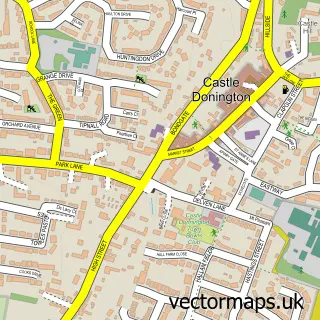
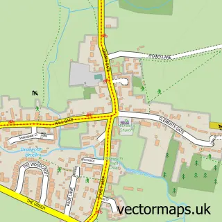
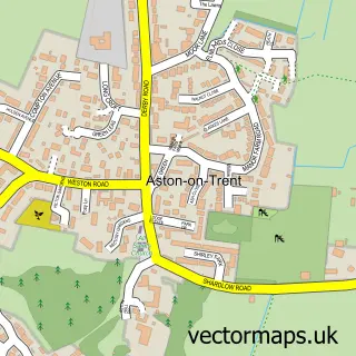
This Hemington street map is a detailed vector street map covering a 750m x 750m area. Select a larger area to create and download your own vector street map of Hemington.
The 750-metre map sample for Hemington covers 120 mapped buildings and approximately 9.7 km of road detail, of which 11 named roads are named. The immediate area includes 1 school, 1 GP surgery within 2 miles, 1 pub and 5 MOT stations within 2 miles. The wider area around Hemington features 1 food and drink venue and 1 campsite within 2 miles. To create a larger or custom map of Hemington, the map builder lets you define your own coverage area and download editable SVG, PDF and PNG files.
Create a larger editable map of Hemington
Choose any area you need and generate a high-quality vector map instantly. Perfect for print, planning, design, business and personal use.

This Hemington street map in Leicestershire is available as downloadable SVG, PDF and PNG map files, or as a printed map for planning, business, display, education, local information and design work. You can also create a larger custom map area using the map selector.
What this Hemington map sample shows
Hemington lies within Lockington-Hemington Cp parish, part of Daleacre Hill ward in the North West Leicestershire District local authority area. The postcode geography for this area includes the DE postcode area, the DE74 postcode district and the DE74 2 postcode sector. Residents fall under the Nhs Leicester, Leicestershire And Rutland Integrated Care Board for NHS services.
Local features near Hemington
Within 2 milesAmenities and services in and around Hemington.
Administrative and postcode information for Hemington
Hemington lies within Lockington-Hemington Cp parish, part of Daleacre Hill ward in the North West Leicestershire District local authority area. The postcode geography for this area includes the DE postcode area, the DE74 postcode district and the DE74 2 postcode sector. Residents fall under the Nhs Leicester, Leicestershire And Rutland Integrated Care Board for NHS services.
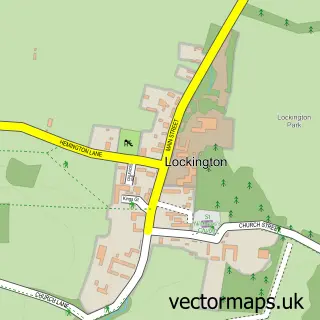
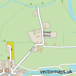
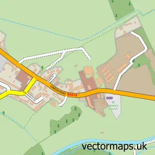
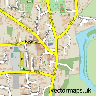
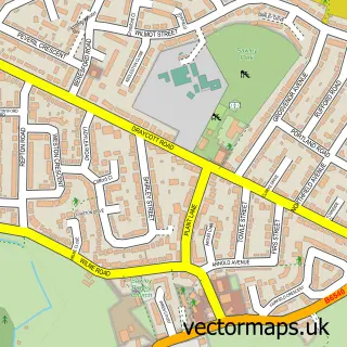
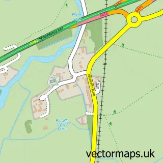
Nearby street map samples around Hemington

More street maps in Leicestershire
750 metre map area coverage
Boundary, postcode and point of interest information for the 750m x 750m rectangle centred on this sample map.
Boundaries containing map centre
Constituency: North West Leicestershire Co Const
County: Leicestershire County
District: North West Leicestershire District
Icb: NHS Leicester Leicestershire and Rutland ICB
Parish: Lockington-Hemington CP
Police Force: leicestershire
Postcode District: DE74
Postcode Sector: DE74 2
Ward: Daleacre Hill Ward
Nearby boundaries intersecting sample
Parish: Castle Donington CP
Ward: Castle Donington Castle Ward
Postcode coverage
POI category counts
Elementary School: 1
Financial Service: 1
It Service And Computer Repair: 1
Kids Recreation And Party: 1
Martial Arts Club: 1
Pub: 1
Roofing: 1
Shopping: 1
Sports Club And League: 1
Tea Room: 1
Sample points of interest
- Hemington Primary School
- Best4Finance
- A S L
- I Need A Funfair
- East Midlands Traditional Yang Family Tai Chi
- The Jolly Sailor
- A & B Roofing
- Fields Farm
- Hemington Hammers Football Club
- The Brook Tearooms
Create a larger editable map of Hemington
This sample shows only a 750 metre area. To create a larger map of Hemington, use our map builder to choose your own coverage area, add titles and download editable SVG, PDF and PNG files.
Create a custom map of Hemington