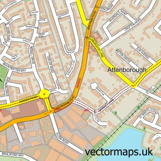
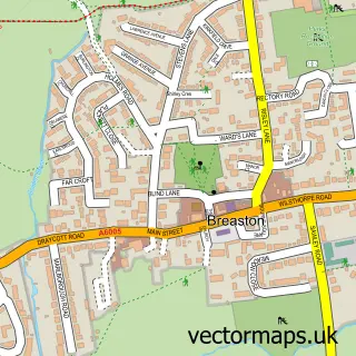
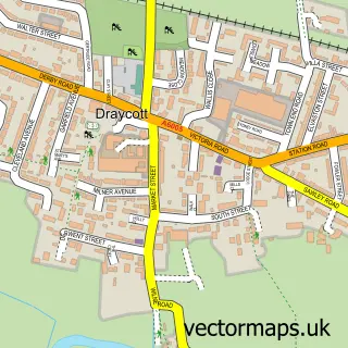
This Long Eaton street map is a detailed vector street map covering a 750m x 750m area. Select a larger area to create and download your own vector street map of Long Eaton.
The 750-metre map sample for Long Eaton covers 329 mapped buildings and approximately 28.5 km of road detail, of which 48 named roads are named. The immediate area includes 3 GP surgeries, with 5 within 2 miles, 13 pubs and 3 MOT stations, with 27 within 2 miles. The wider area around Long Eaton features 4 tourism points of interest, 32 food and drink venues and 1 hotel. To create a larger or custom map of Long Eaton, the map builder lets you define your own coverage area and download editable SVG, PDF and PNG files.
Create a larger editable map of Long Eaton
Choose any area you need and generate a high-quality vector map instantly. Perfect for print, planning, design, business and personal use.

This Long Eaton street map in Derbyshire is available as downloadable SVG, PDF and PNG map files, or as a printed map for planning, business, display, education, local information and design work. You can also create a larger custom map area using the map selector.
What this Long Eaton map sample shows
Long Eaton lies within Derbyshire County parish, part of Derby Road East ward in the Erewash District (B) local authority area. The postcode geography for this area includes the NG postcode area, the NG10 postcode district and the NG10 4 postcode sector. Residents fall under the Nhs Derby And Derbyshire Integrated Care Board for NHS services.
Local features near Long Eaton
Within 2 milesAmenities and services in and around Long Eaton.
Administrative and postcode information for Long Eaton
Long Eaton lies within Derbyshire County parish, part of Derby Road East ward in the Erewash District (B) local authority area. The postcode geography for this area includes the NG postcode area, the NG10 postcode district and the NG10 4 postcode sector. Residents fall under the Nhs Derby And Derbyshire Integrated Care Board for NHS services.
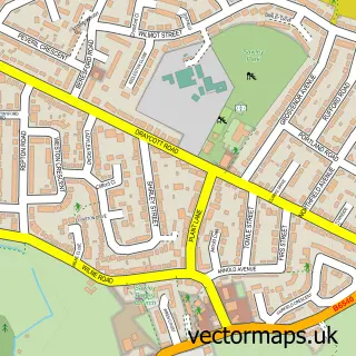
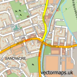
Nearby street map samples around Long Eaton

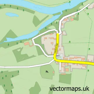
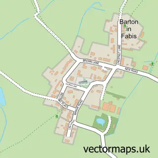
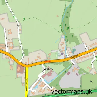
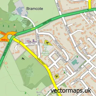
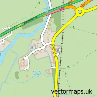
More street maps in Derbyshire
750 metre map area coverage
Boundary, postcode and point of interest information for the 750m x 750m rectangle centred on this sample map.
Boundaries containing map centre
Constituency: Erewash Co Const
County: Derbyshire County
District: Erewash District (B)
Icb: NHS Derby and Derbyshire ICB
Police Force: derbyshire
Postcode District: NG10
Postcode Sector: NG10 1
Ward: Long Eaton Central Ward
Nearby boundaries intersecting sample
Postcode Sector: NG10 2, NG10 3, NG10 4
Ward: Derby Road East Ward, Derby Road West Ward, Nottingham Road Ward
Postcode coverage
POI category counts
Beauty Salon: 14
Pub: 13
Retail: 12
Furniture Store: 11
Hair Salon: 11
Gym: 10
Supermarket: 10
Barber: 9
Cafe: 9
Clothing Store: 9
Sample points of interest
- Cudos Accounting ltd
- Robert Ellis Estate Agents - Long Eaton
- TaxAssist Accountants
- Taxassist Accountants
- Pole Magnets
- Vimana Digital
- Vimana Digital
- Nicholas Serieys Cognitive Behavioural Therapist
- The Parish Church of St Laurence, Long Eaton
- RSPCA Long Eaton Shop
- Salvation Army
- Bairstow Eves
Create a larger editable map of Long Eaton
This sample shows only a 750 metre area. To create a larger map of Long Eaton, use our map builder to choose your own coverage area, add titles and download editable SVG, PDF and PNG files.
Create a custom map of Long Eaton