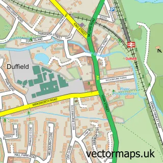
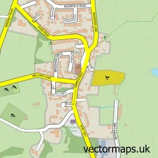
This Little Eaton street map is a detailed vector street map covering a 750m x 750m area. Select a larger area to create and download your own vector street map of Little Eaton.
The 750-metre map sample for Little Eaton covers 325 mapped buildings and approximately 14.9 km of road detail, of which 18 named roads are named. The immediate area includes 1 school, 2 GP surgeries within 2 miles, 2 pubs and 1 MOT station, with 9 within 2 miles. The wider area around Little Eaton features 1 tourism point of interest and 2 food and drink venues. To create a larger or custom map of Little Eaton, the map builder lets you define your own coverage area and download editable SVG, PDF and PNG files.
Create a larger editable map of Little Eaton
Choose any area you need and generate a high-quality vector map instantly. Perfect for print, planning, design, business and personal use.

This Little Eaton street map in Derbyshire is available as downloadable SVG, PDF and PNG map files, or as a printed map for planning, business, display, education, local information and design work. You can also create a larger custom map area using the map selector.
What this Little Eaton map sample shows
Little Eaton lies within Little Eaton Cp parish, part of Little Eaton & Stanley ward in the Erewash District (B) local authority area. The postcode geography for this area includes the DE postcode area, the DE21 postcode district and the DE21 5 postcode sector. Residents fall under the Nhs Derby And Derbyshire Integrated Care Board for NHS services.
Local features near Little Eaton
Within 2 milesAmenities and services in and around Little Eaton.
Administrative and postcode information for Little Eaton
The local authority covering Little Eaton is Erewash District (B), within the county of Derbyshire. The settlement lies within Little Eaton & Stanley ward and Little Eaton Cp civil parish. The DE21 postcode district and DE21 5 postcode sector serve the immediate area. NHS provision in the area is delivered through University Hospitals Of Derby And Burton Nhs Foundation Trust.
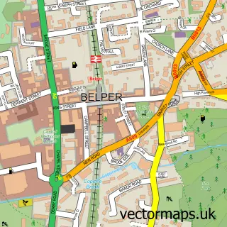
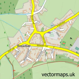
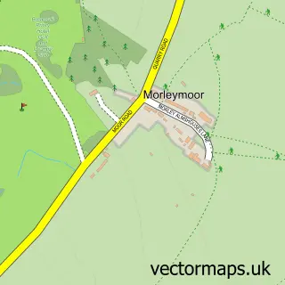
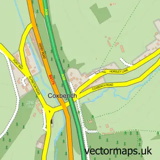
Nearby street map samples around Little Eaton

More street maps in Derbyshire
750 metre map area coverage
Boundary, postcode and point of interest information for the 750m x 750m rectangle centred on this sample map.
Boundaries containing map centre
Constituency: Mid Derbyshire Co Const
County: Derbyshire County
District: Erewash District (B)
Icb: NHS Derby and Derbyshire ICB
Parish: Little Eaton CP
Police Force: derbyshire
Postcode District: DE21
Postcode Sector: DE21 5
Ward: Little Eaton & Stanley Ward
Nearby boundaries intersecting sample
No additional intersecting boundaries found.
Postcode coverage
POI category counts
Brewery: 4
Contractor: 3
Metal Supplier: 3
Professional Services: 3
Audiovisual Equipment Rental: 2
Bike Repair Maintenance: 2
Building Supply Store: 2
Butcher Shop: 2
Community Services Non Profits: 2
Gym: 2
Sample points of interest
- Bottom Line Fitness
- Inter-County Paramedic
- We Are Blok
- Baby Sensory - Little Eaton
- Central England Co-Op - Little Eaton
- Keene Electronics
- The Conference Works AV London
- MG Derby
- Little Eaton Garage Ltd
- Mali Raj Beauty Room
- Shiny Tap Micropub and Bottleshop
- Beer Metropolis Retail
Create a larger editable map of Little Eaton
This sample shows only a 750 metre area. To create a larger map of Little Eaton, use our map builder to choose your own coverage area, add titles and download editable SVG, PDF and PNG files.
Create a custom map of Little Eaton