This Brailsford street map is a detailed vector street map covering a 750m x 750m area. Select a larger area to create and download your own vector street map of Brailsford.
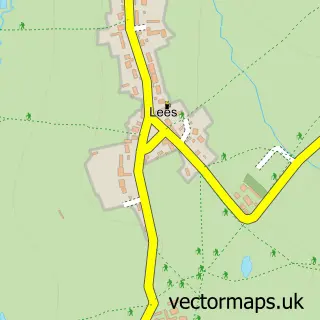
The 750-metre map sample for Brailsford covers 278 mapped buildings and approximately 14.2 km of road detail, of which 15 named roads are named. The immediate area includes 1 GP surgery and 1 pub. The wider area around Brailsford features 1 tourism point of interest and 3 food and drink venues. To create a larger or custom map of Brailsford, the map builder lets you define your own coverage area and download editable SVG, PDF and PNG files.
Create a larger editable map of Brailsford
Choose any area you need and generate a high-quality vector map instantly. Perfect for print, planning, design, business and personal use.

This Brailsford street map in Derbyshire is available as downloadable SVG, PDF and PNG map files, or as a printed map for planning, business, display, education, local information and design work. You can also create a larger custom map area using the map selector.
What this Brailsford map sample shows
Brailsford lies within Brailsford Cp parish, part of Brailsford ward in the Derbyshire Dales District local authority area. The postcode geography for this area includes the DE postcode area, the DE6 postcode district and the DE6 3 postcode sector. Residents fall under the Nhs Derby And Derbyshire Integrated Care Board for NHS services.
Local features near Brailsford
Within 2 milesAmenities and services in and around Brailsford.
Administrative and postcode information for Brailsford
Brailsford lies within Brailsford Cp parish, part of Brailsford ward in the Derbyshire Dales District local authority area. The postcode geography for this area includes the DE postcode area, the DE6 postcode district and the DE6 3 postcode sector. Residents fall under the Nhs Derby And Derbyshire Integrated Care Board for NHS services.
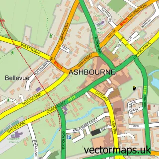
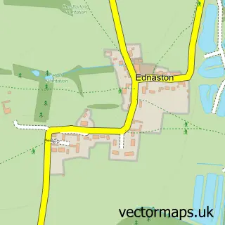
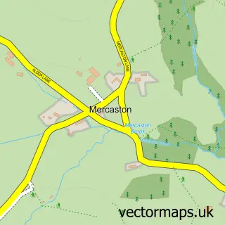
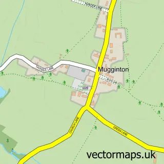
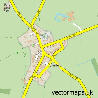
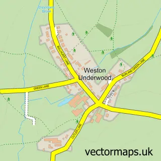
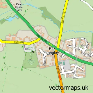
Nearby street map samples around Brailsford

More street maps in Derbyshire
750 metre map area coverage
Boundary, postcode and point of interest information for the 750m x 750m rectangle centred on this sample map.
Boundaries containing map centre
Constituency: Derbyshire Dales Co Const
County: Derbyshire County
District: Derbyshire Dales District
Icb: NHS Derby and Derbyshire ICB
Parish: Brailsford CP
Police Force: derbyshire
Postcode District: DE6
Postcode Sector: DE6 3
Ward: Brailsford Ward
Nearby boundaries intersecting sample
No additional intersecting boundaries found.
Postcode coverage
POI category counts
Doctor: 2
Post Office: 2
Active Life: 1
Agricultural Service: 1
Auto Upholstery: 1
Beauty And Spa: 1
Beauty Salon: 1
Boutique: 1
British Restaurant: 1
Business Management Services: 1
Sample points of interest
- Meynell Saddlery
- Daniel Salt Ltd - Dairy Engineering and Refrigeration Specialists
- Clarke Interiors
- Donna Gilsenan Hair
- The Beauty Barn
- White Barn Company
- The Tasting Club
- Post Office
- Brailsford Methodist Church
- Buttermilk Coffee House
- Brailsford and Ednaston Institute
- Brailsford Ironcraft
Create a larger editable map of Brailsford
This sample shows only a 750 metre area. To create a larger map of Brailsford, use our map builder to choose your own coverage area, add titles and download editable SVG, PDF and PNG files.
Create a custom map of Brailsford